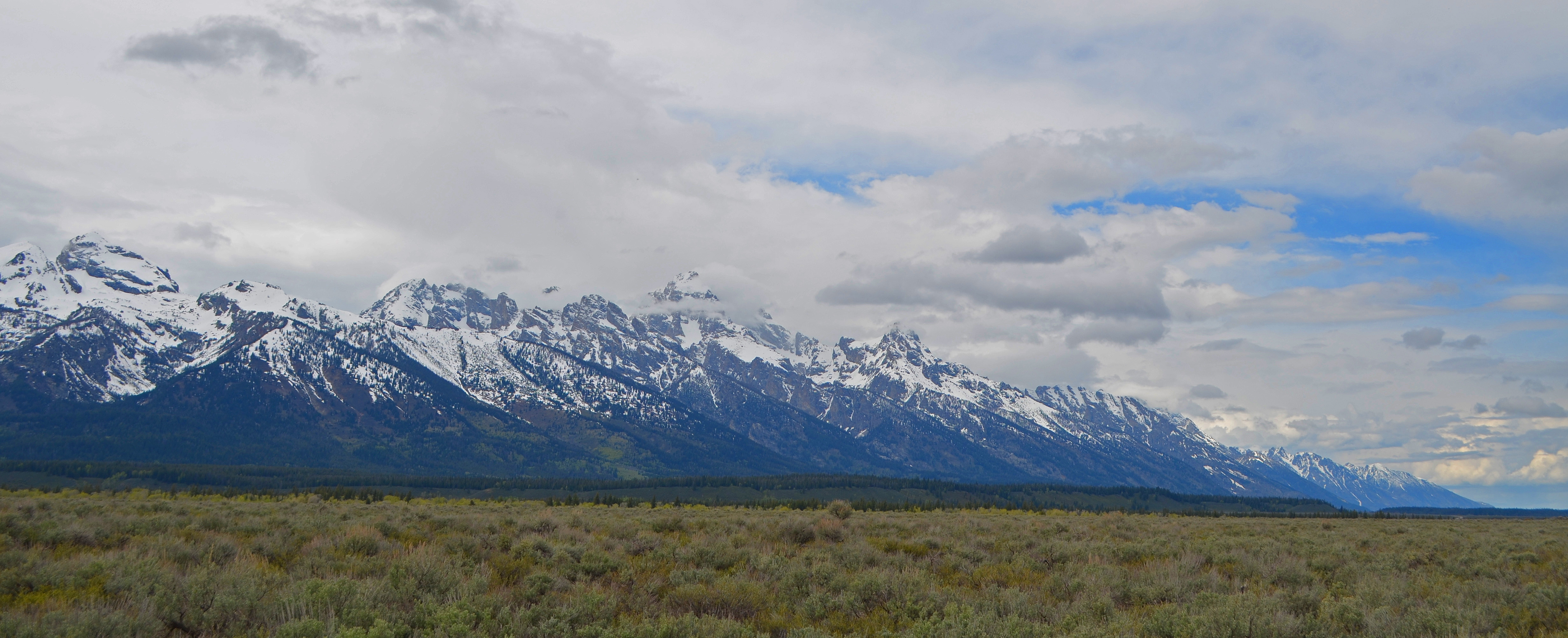
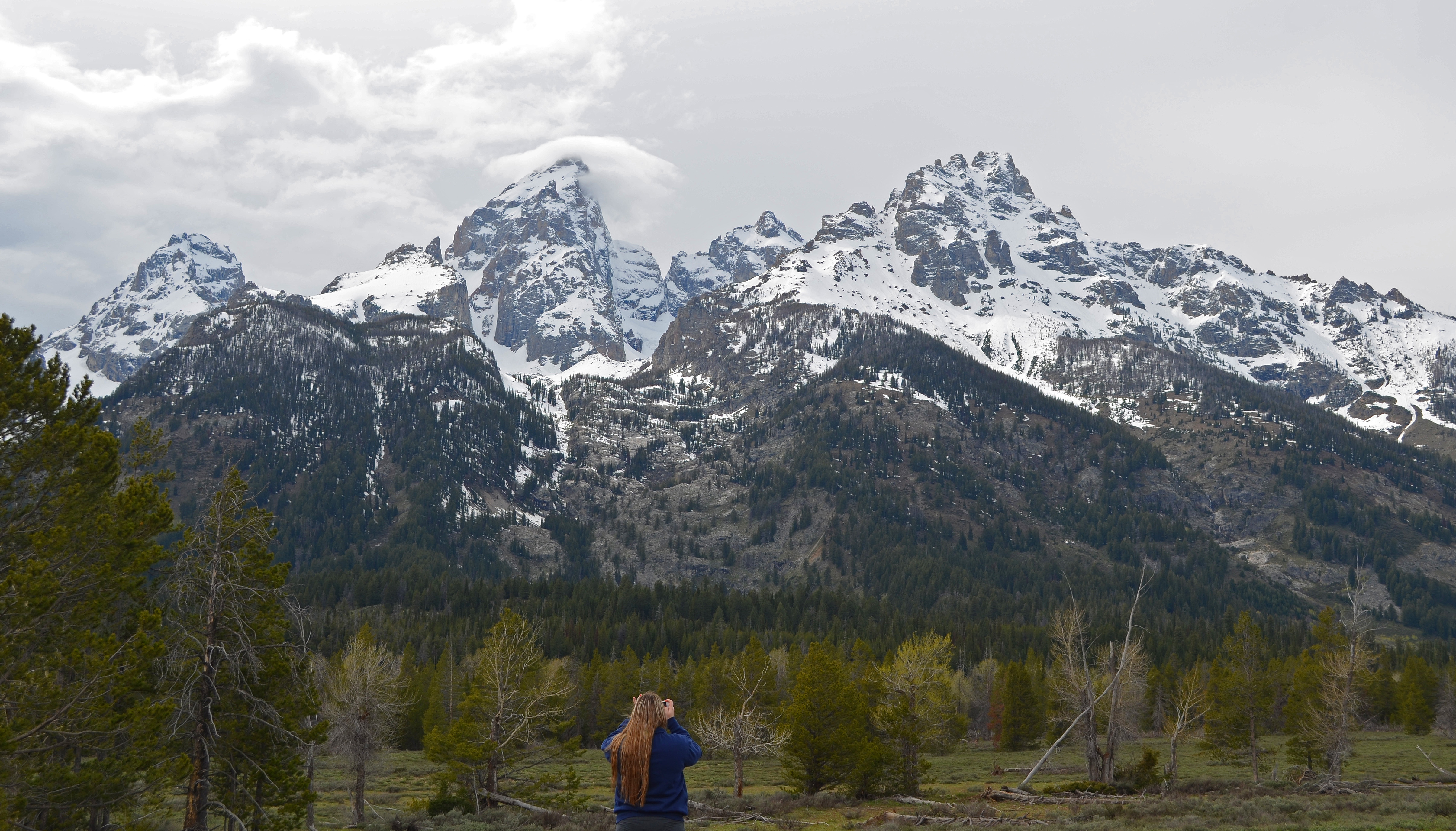
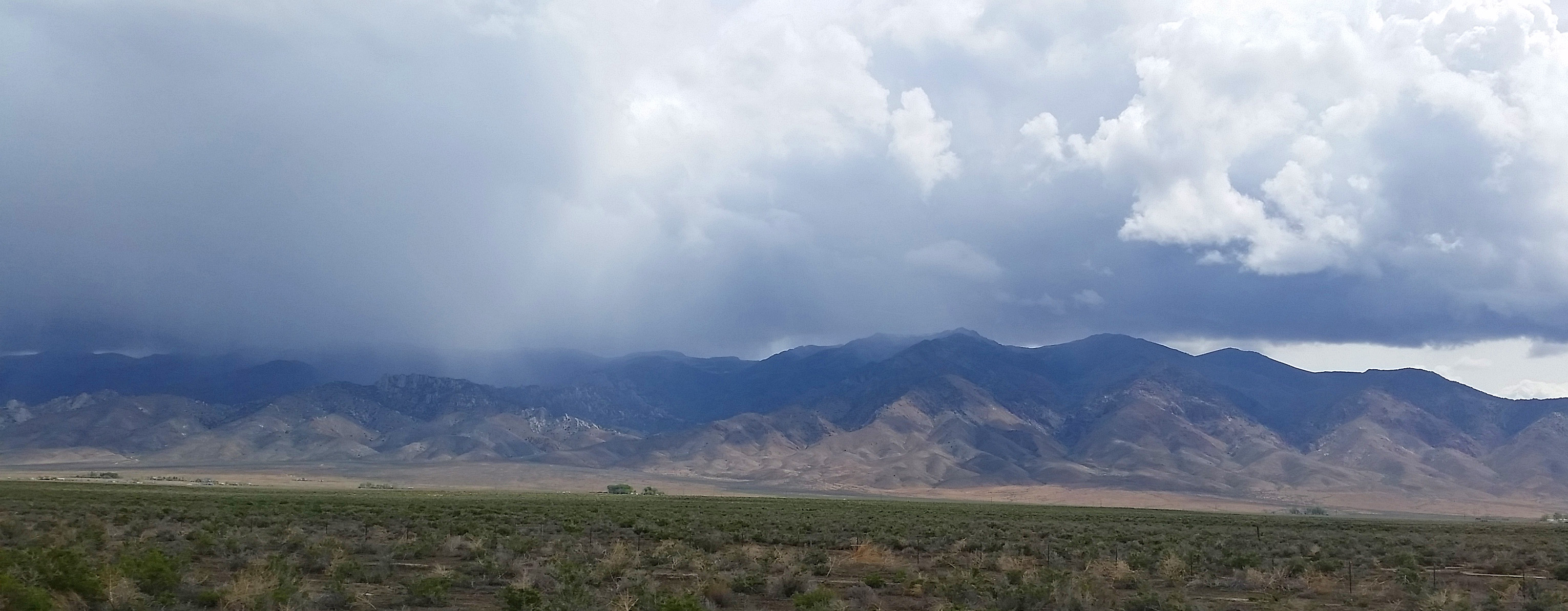
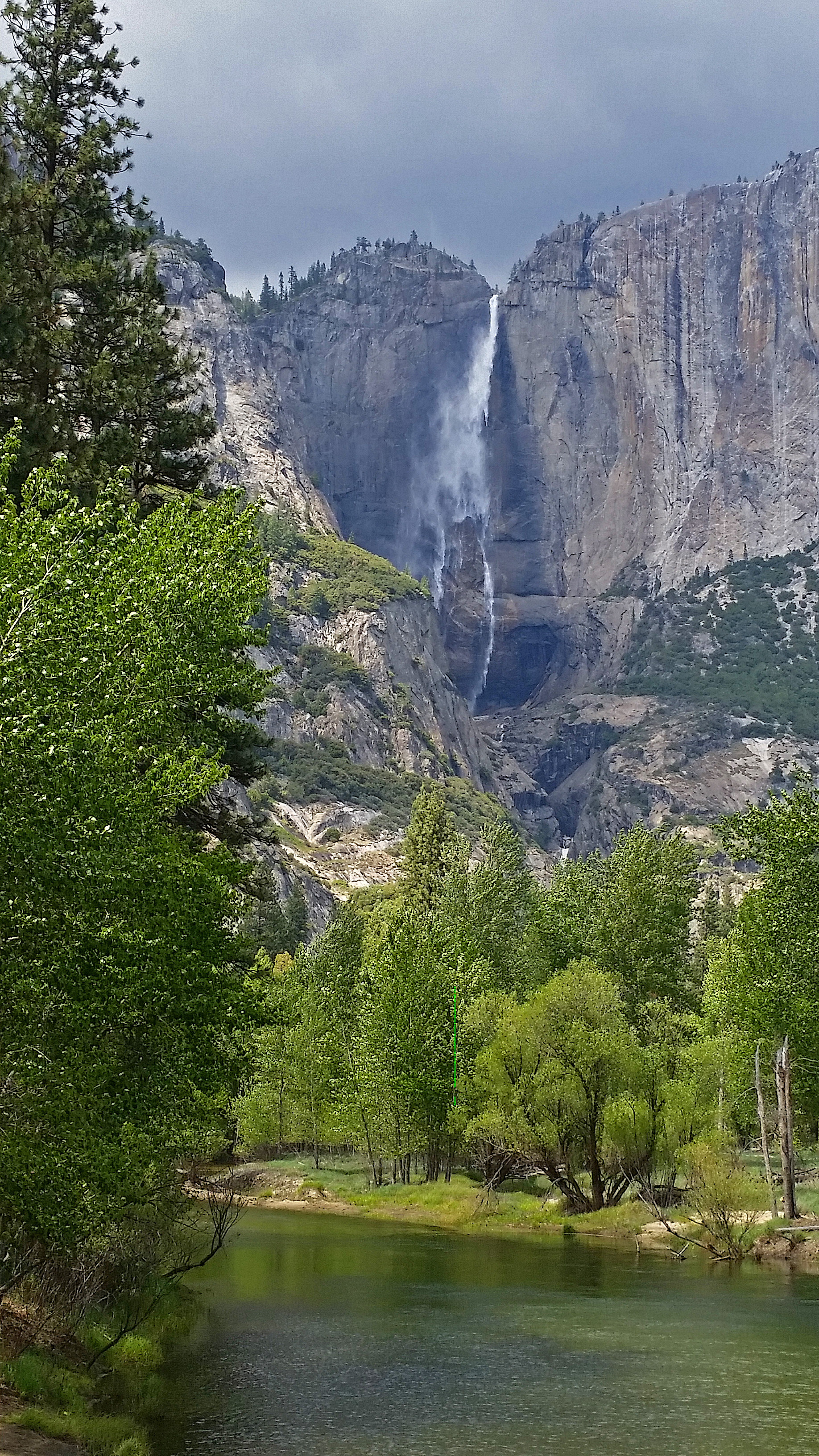
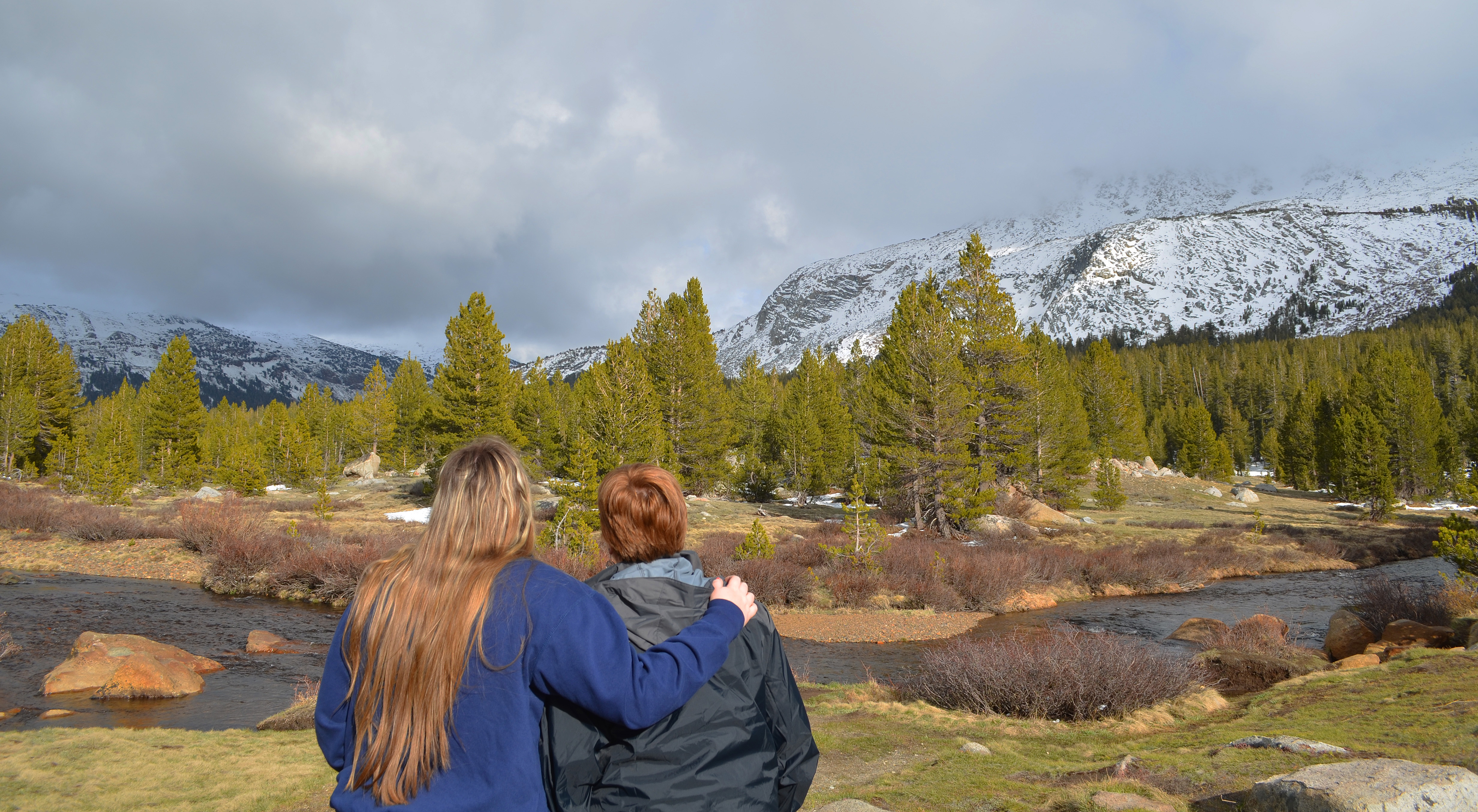
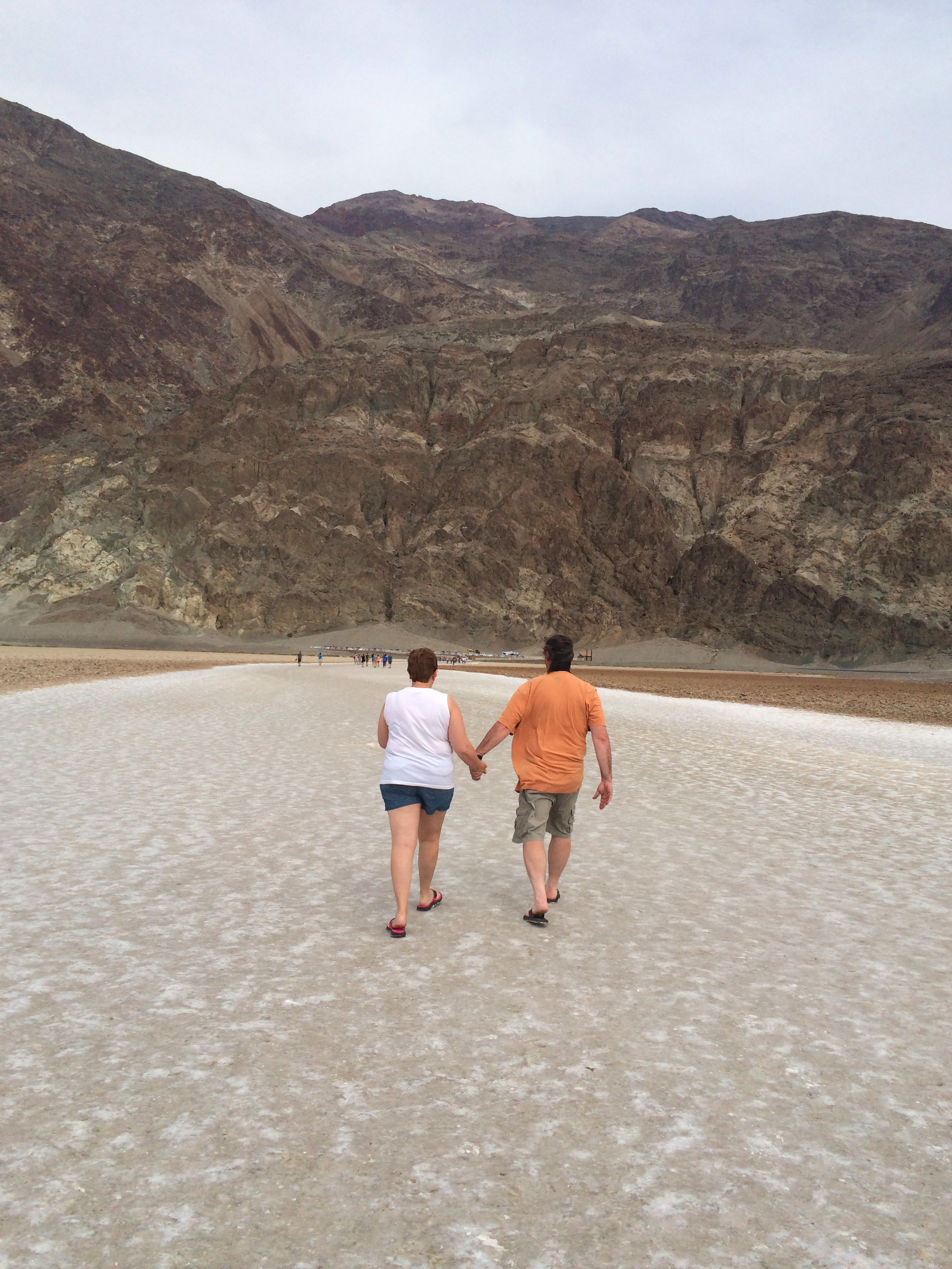
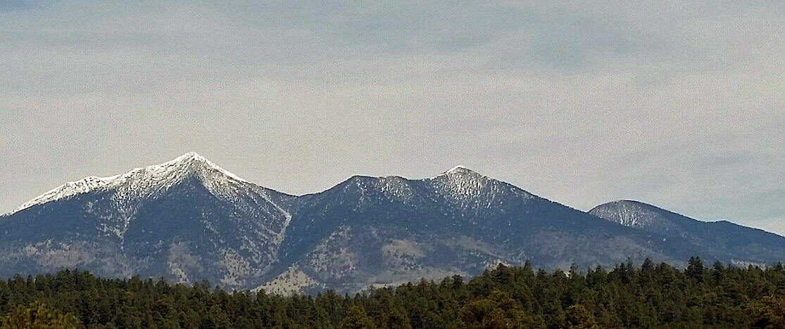
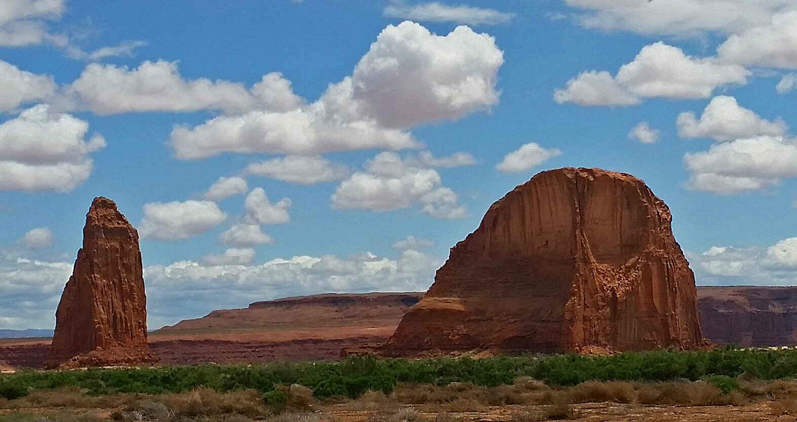
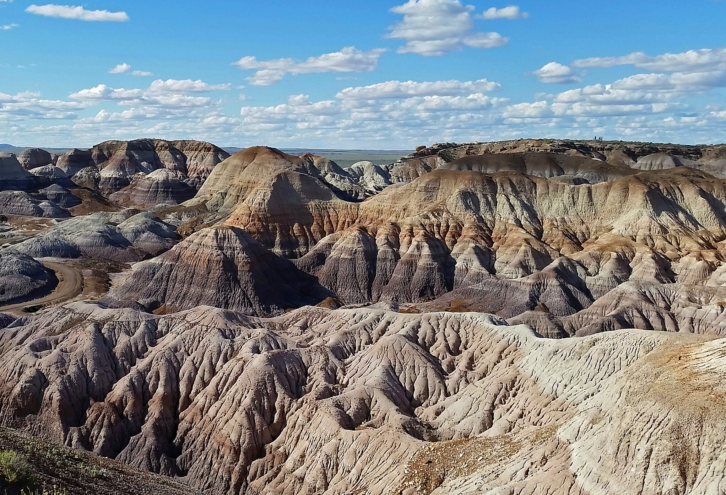
Day 13-Yellowstone National Park. This a mysterious, magical place. It’s a land of steaming geysers, boiling hot springs, bubbling mud pots, an abundance of wildlife and rugged 10,000’ snow-capped peaks that seem to surround you in every direction you look! It’s an ecosystem unlike any other in the world. The entire 2.2 million acres is literally an active volcano with over 10,000 thermal features and 300+ geysers. It’s located in three states (mostly Wyoming) and its land mass is larger than the states of Delaware and Rhode Island combined. It’s big, really big! Yellowstone is America’s first national park, designated in 1872. It hosts about 3 million visitors each year.
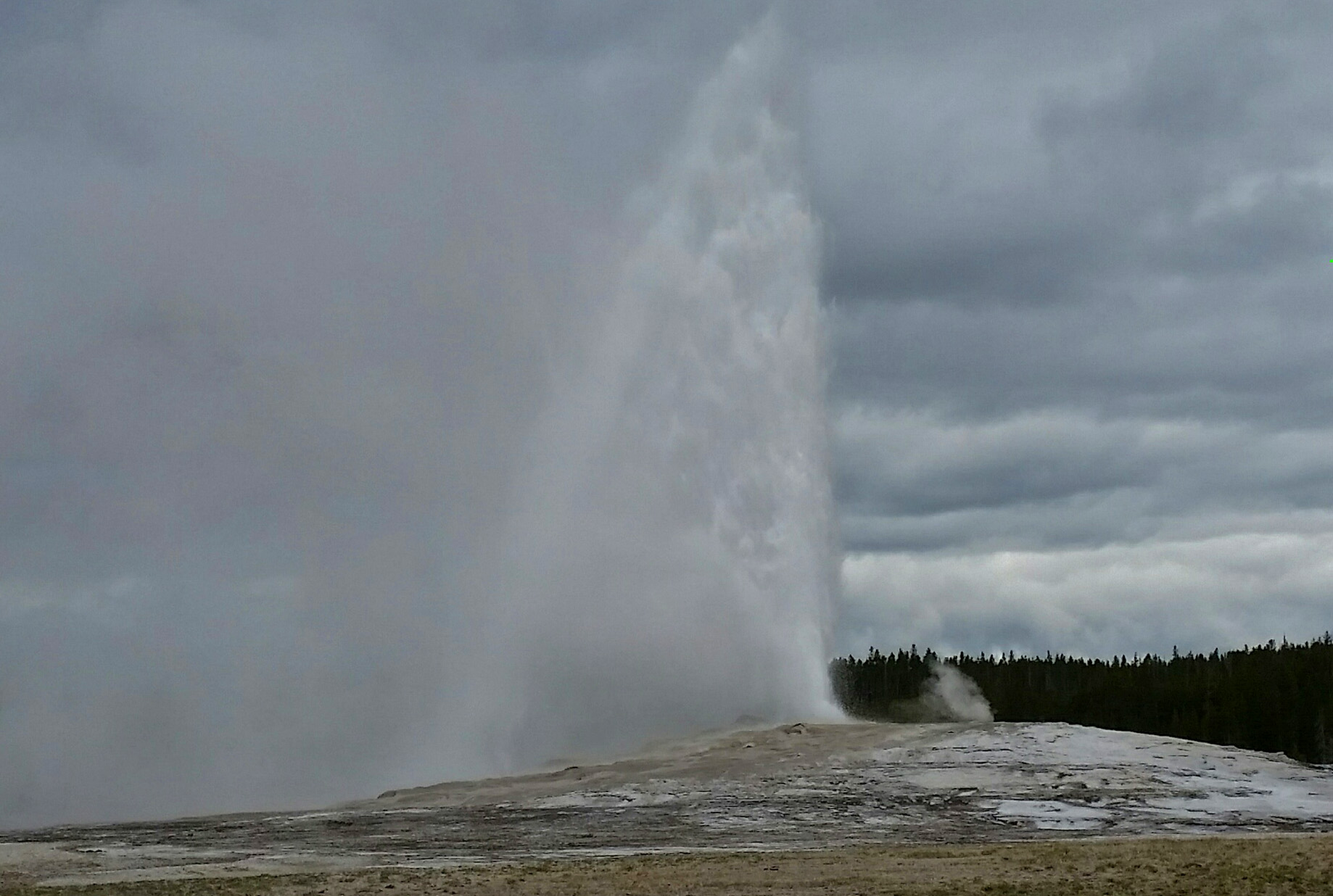
Perhaps the main attraction in the entire park is Old Faithful, a large geyser that erupts every 60-70 minutes, 24 hours/day, 365 days/year. It reaches a maximum of height of 150’ and lasts about 2 minutes. With a thousand other visitors, we sat around the steaming vent, watching and waiting on a cold (53 degrees F), windy morning-everyone’s cameras, cell phones and video cameras all anxiously pointed at the center of attention. People were talking and laughing and then the geyser would give off a large “spurt” as it built up pressure for the main eruption, and everyone would suddenly get quiet. It would then settle back down and you could hear the crowd sigh a collective, “ahhh,” as if their favorite basketball player just missed the winning foul shot! This happened a couple more times, and each time the audience reacted the same. It was pretty funny after the 3rd time!


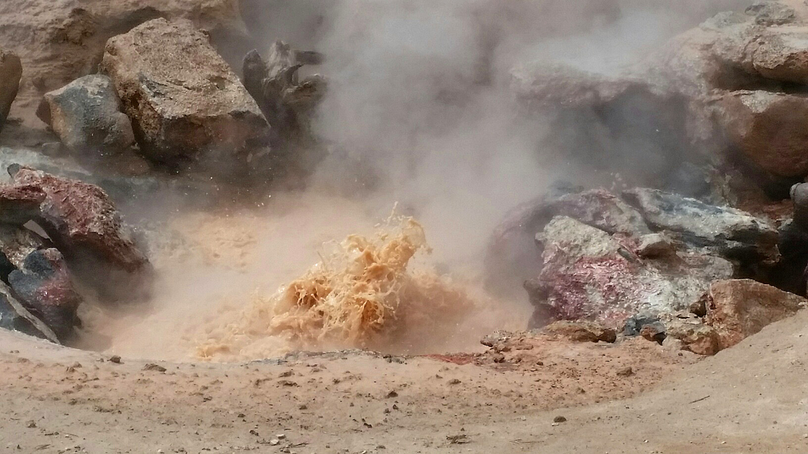
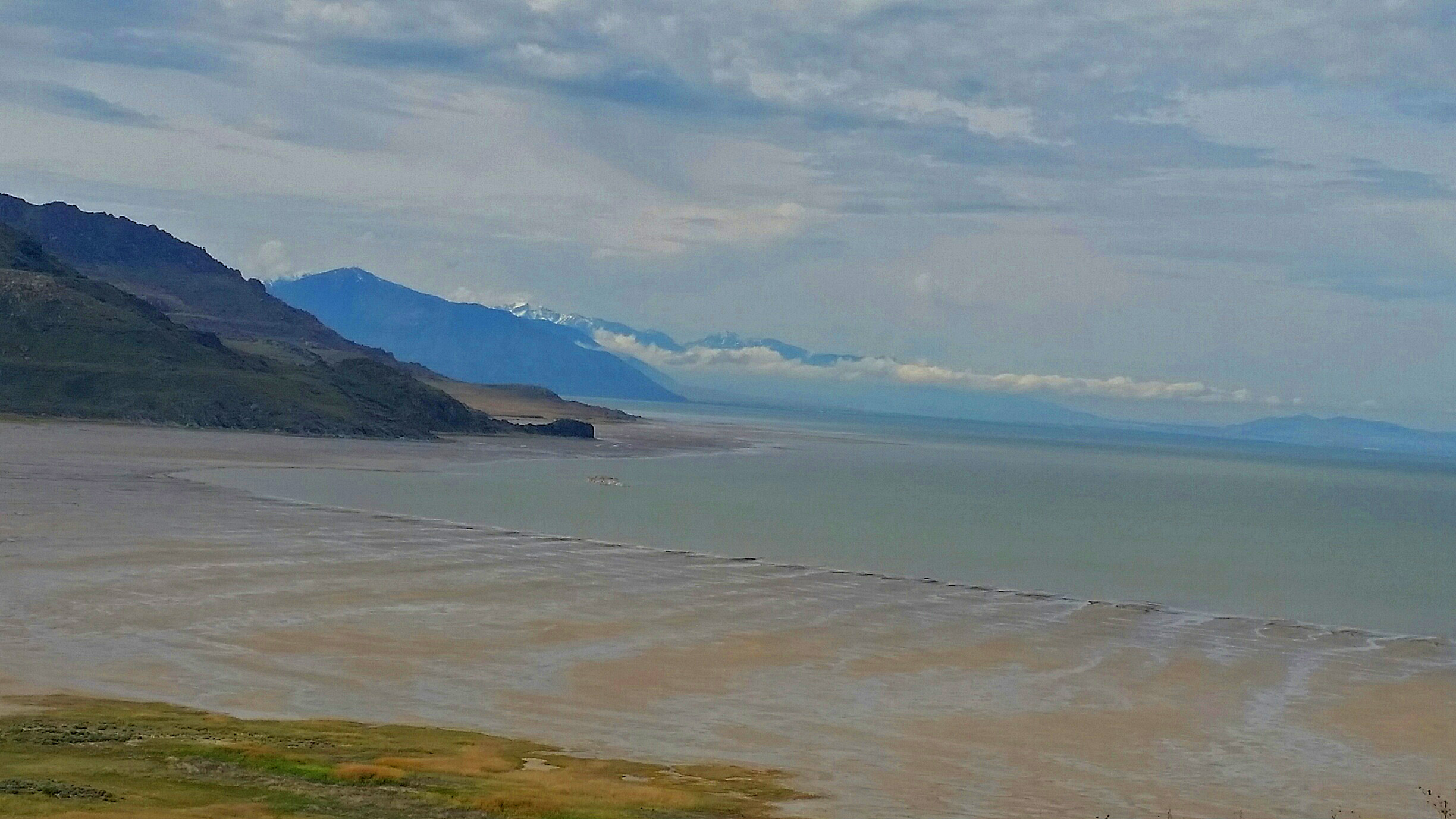
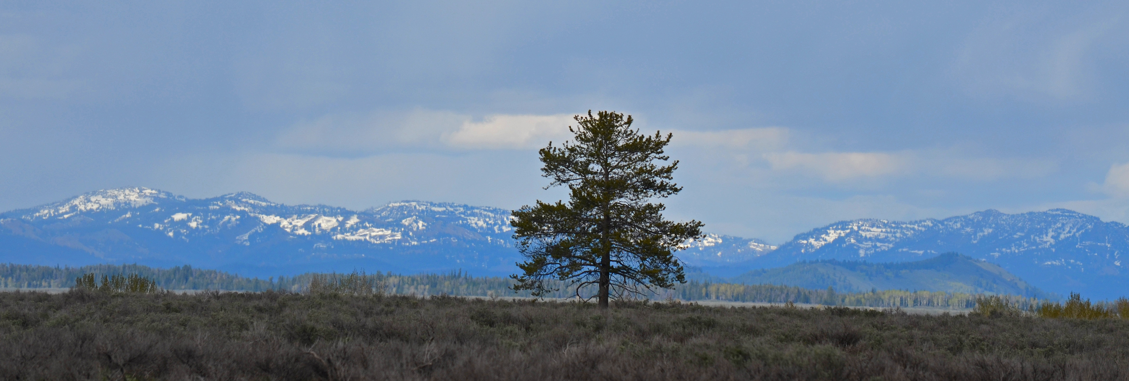
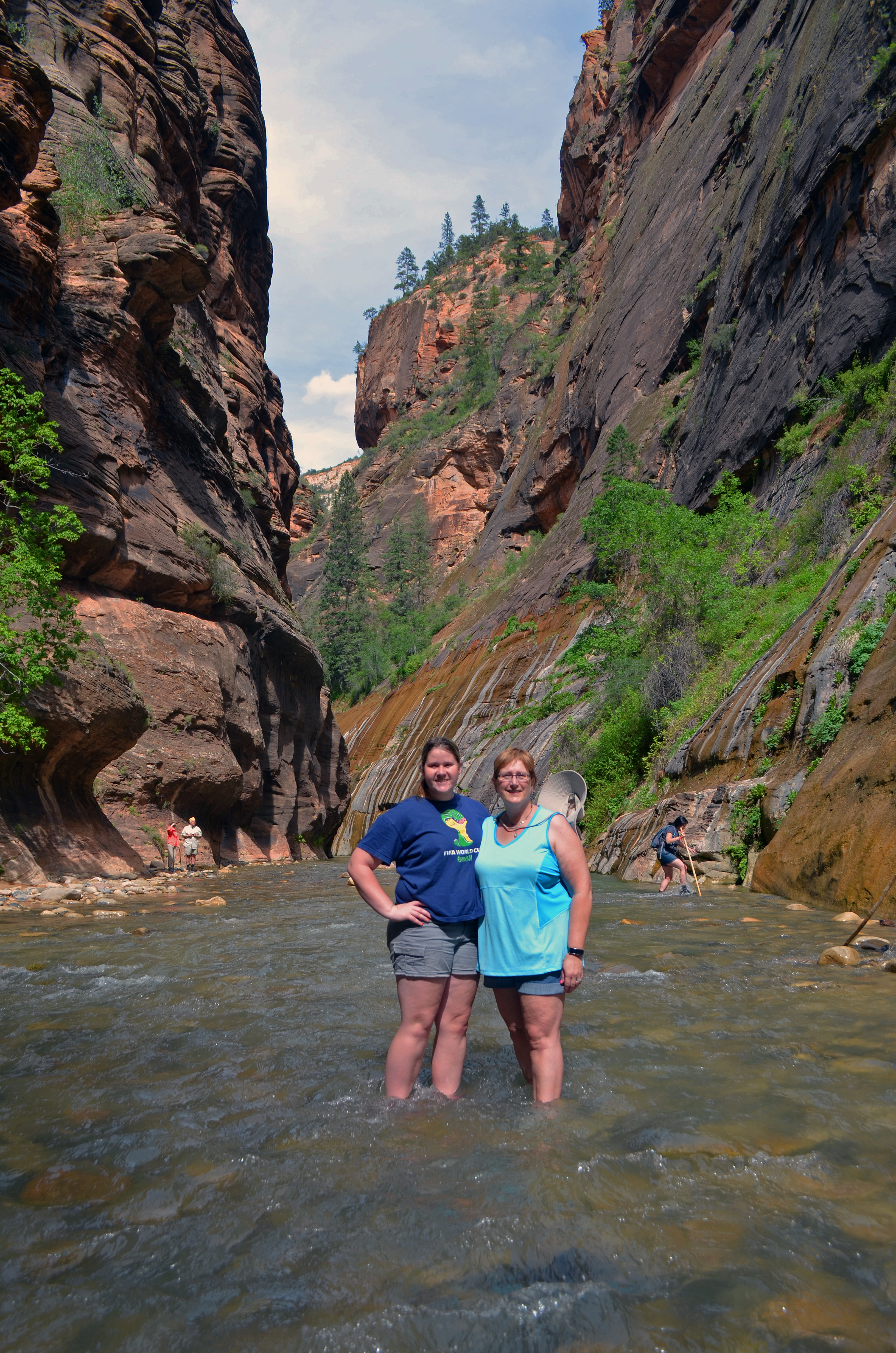
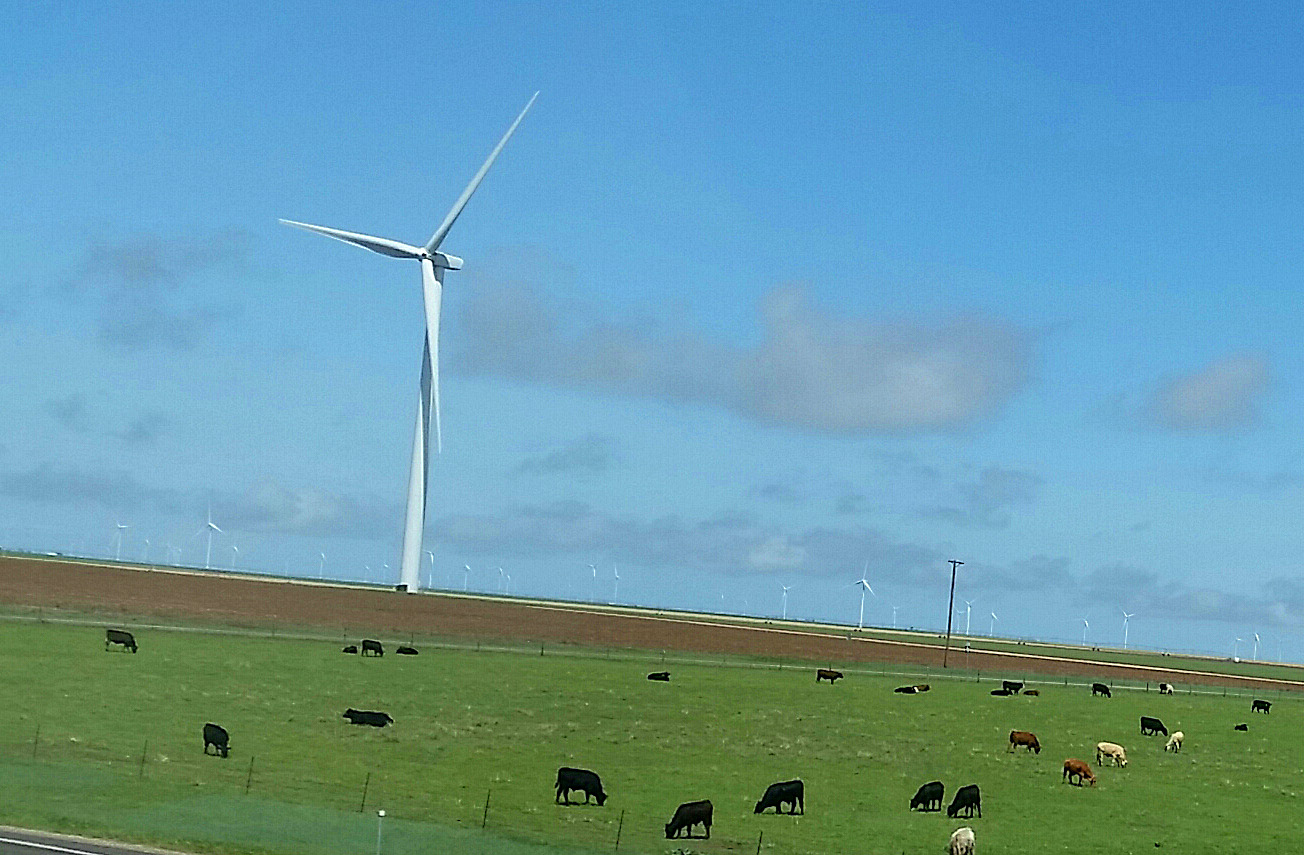
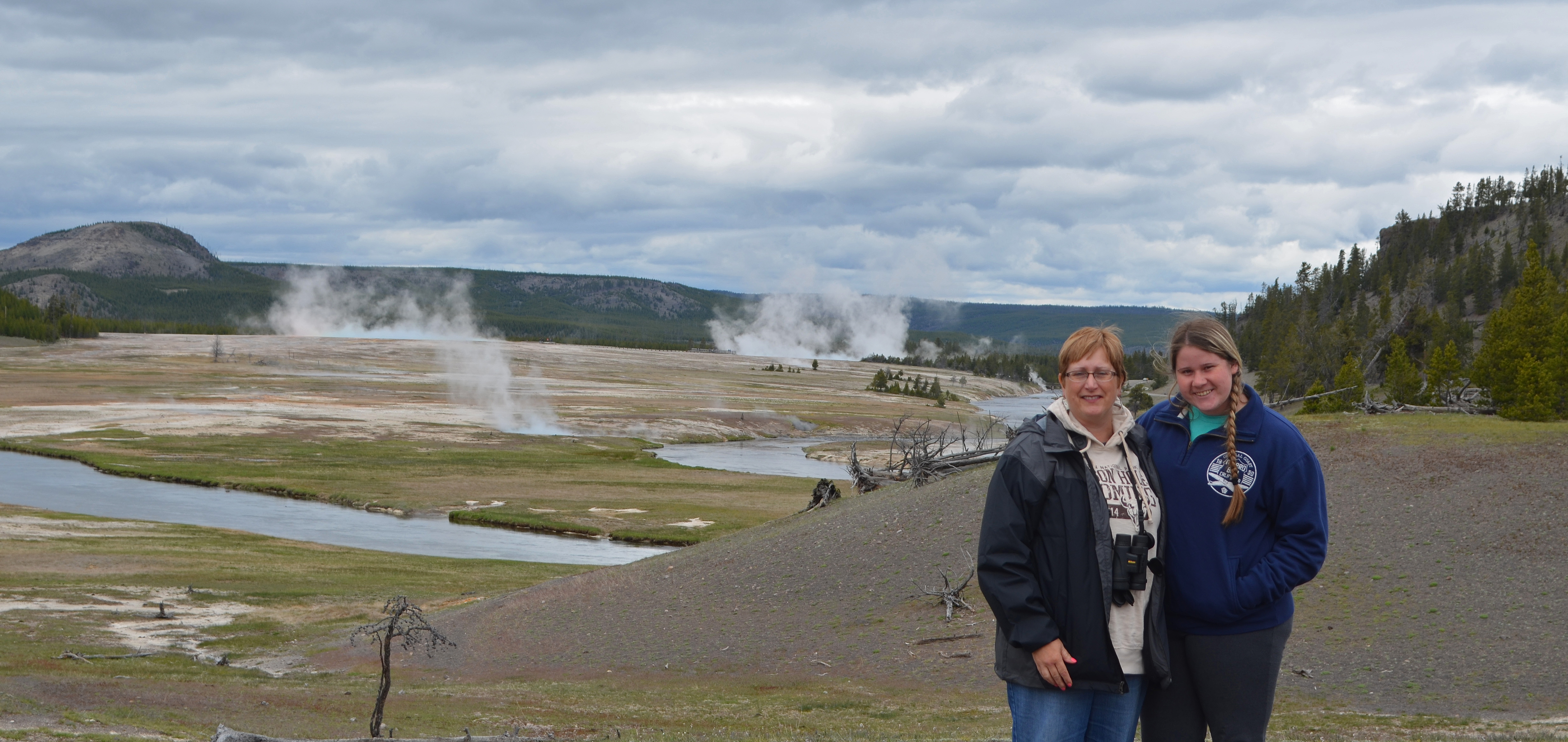
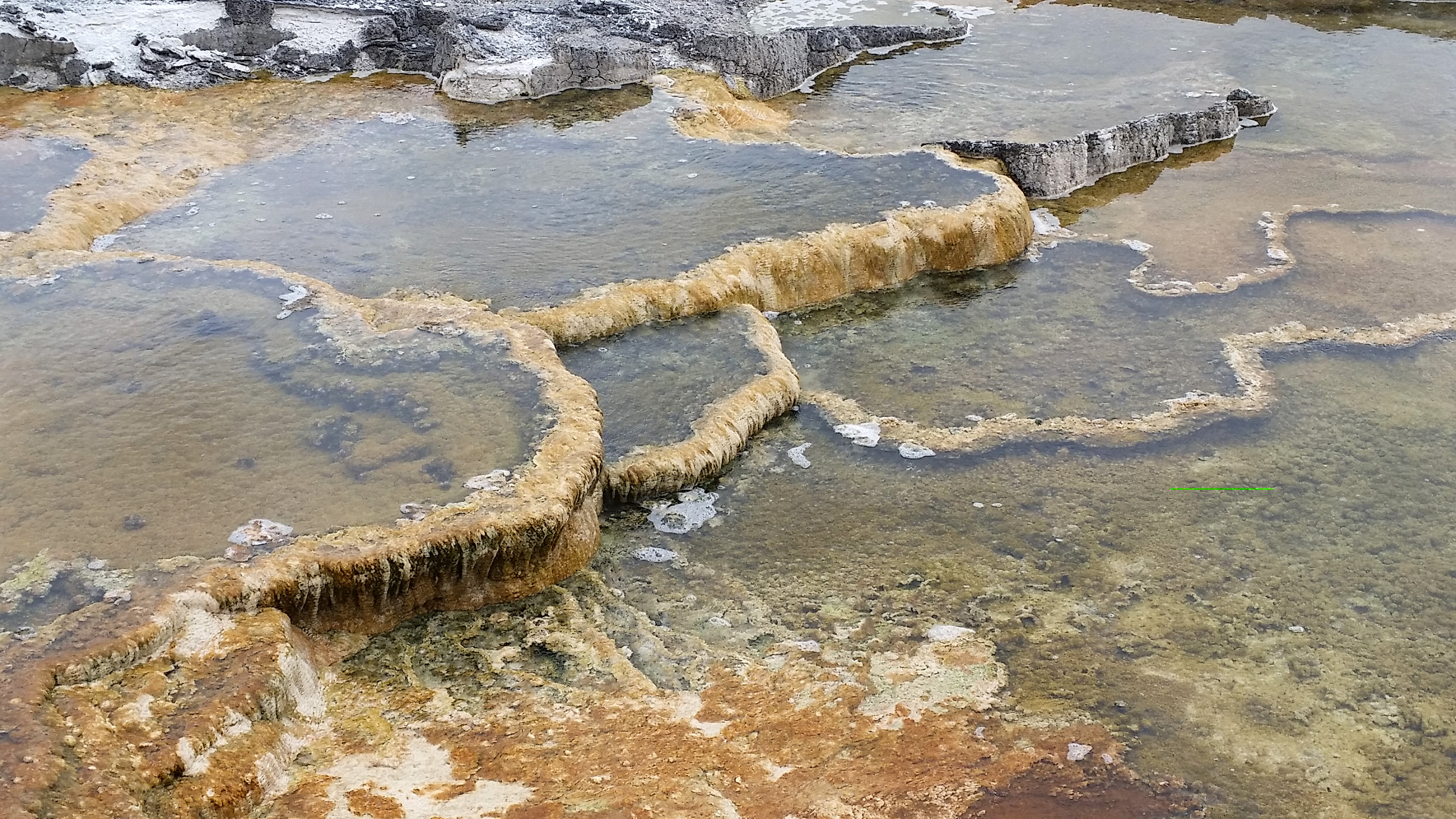
What makes Yellowstone unique are all the geysers ad hot springs that dot the park. Just about everywhere you drive you see steam rising from the landscape. Sometimes there’s a bunch of them together and it’s a interpretive stop, but most of them are just scattered about, on the side of a hill, or in the thick, young Lodgepole pine forest that covers the terrain. They constantly leak their hot, boiling water and minerals into the park’s two main rivers, the Yellowstone and Madison, where anglers try their luck catching Cutthroat Trout and adventure companies guide visitors down the flowing waters in large rubber rafts.
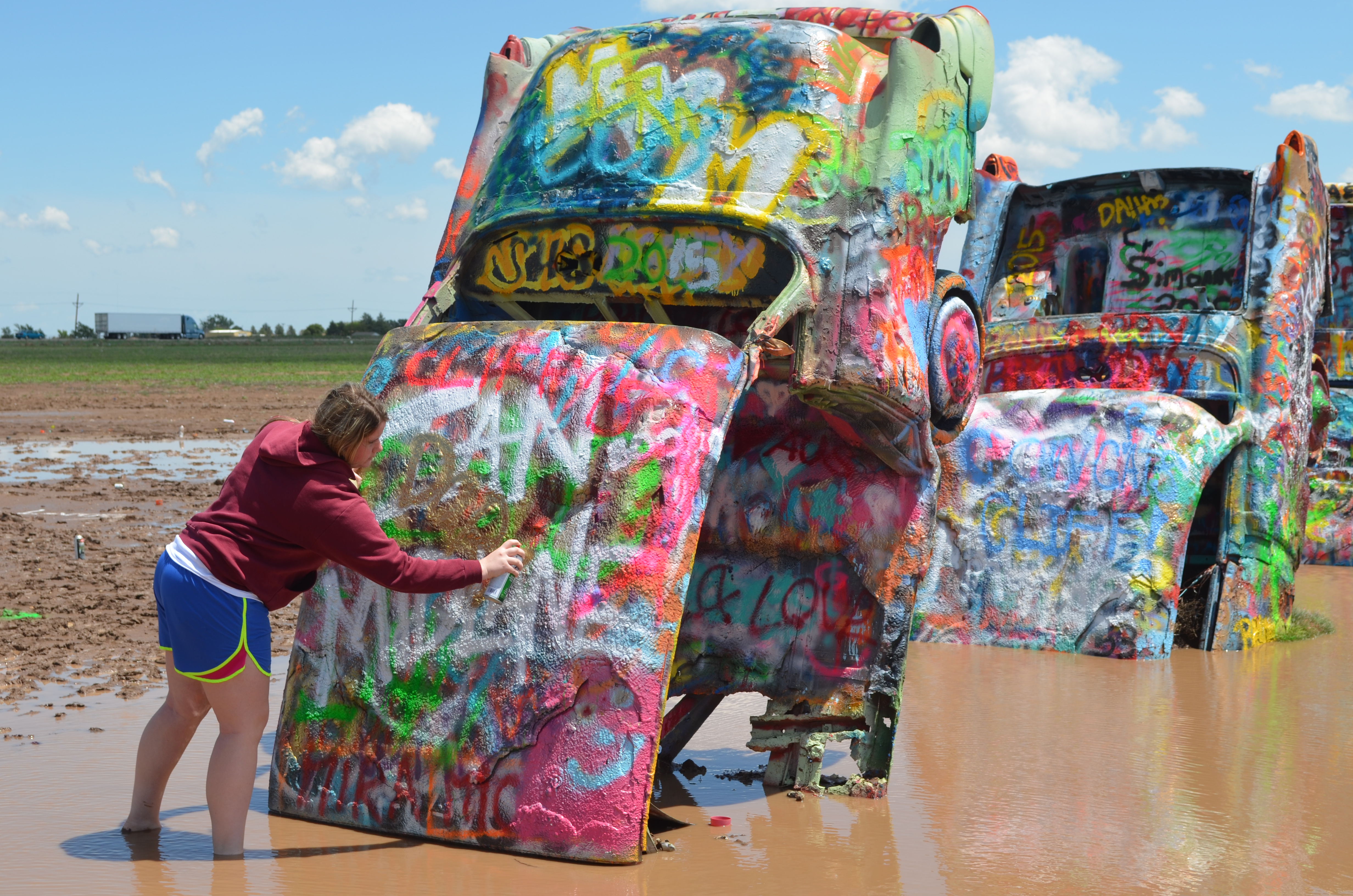
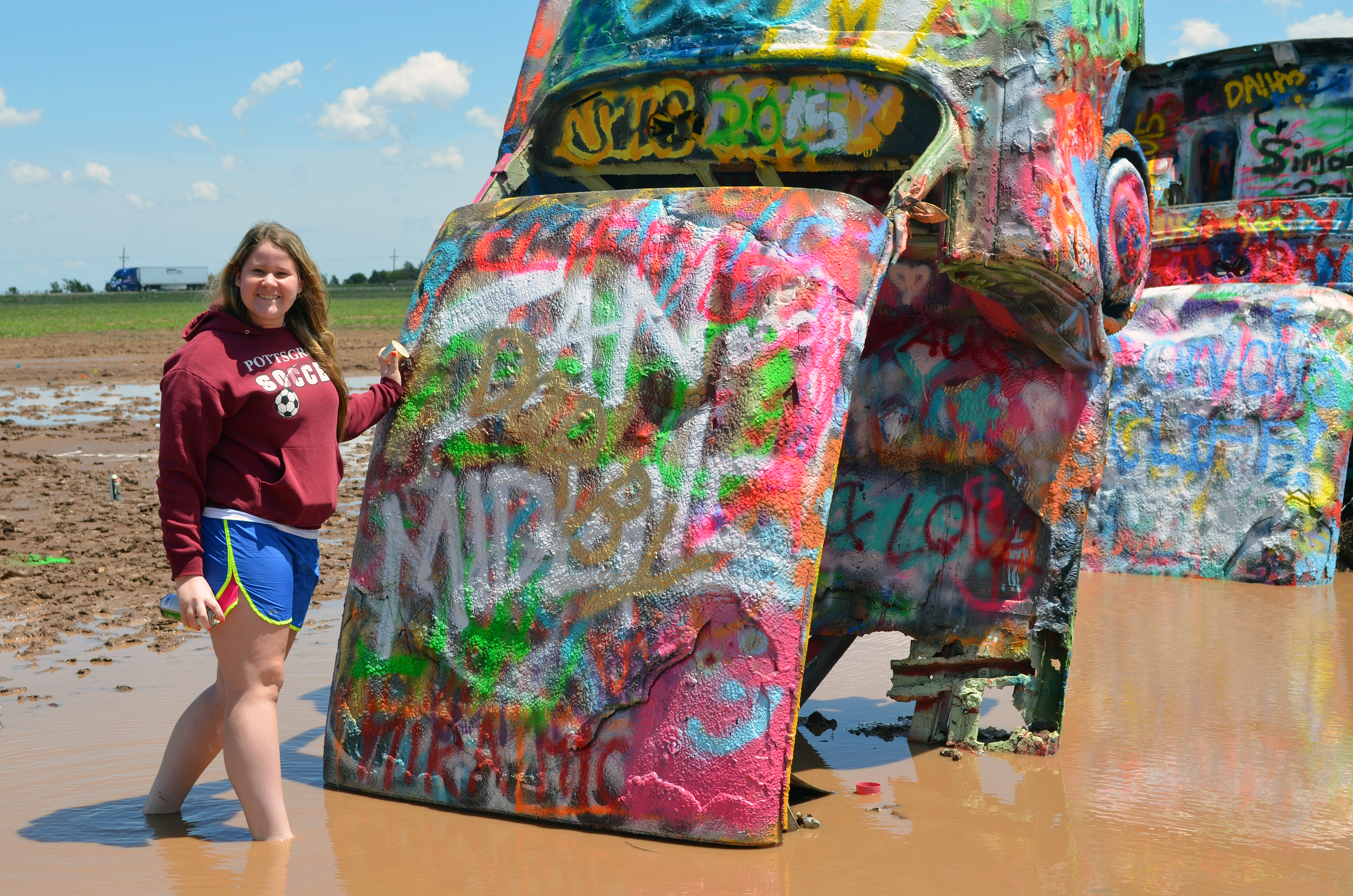
 If
If
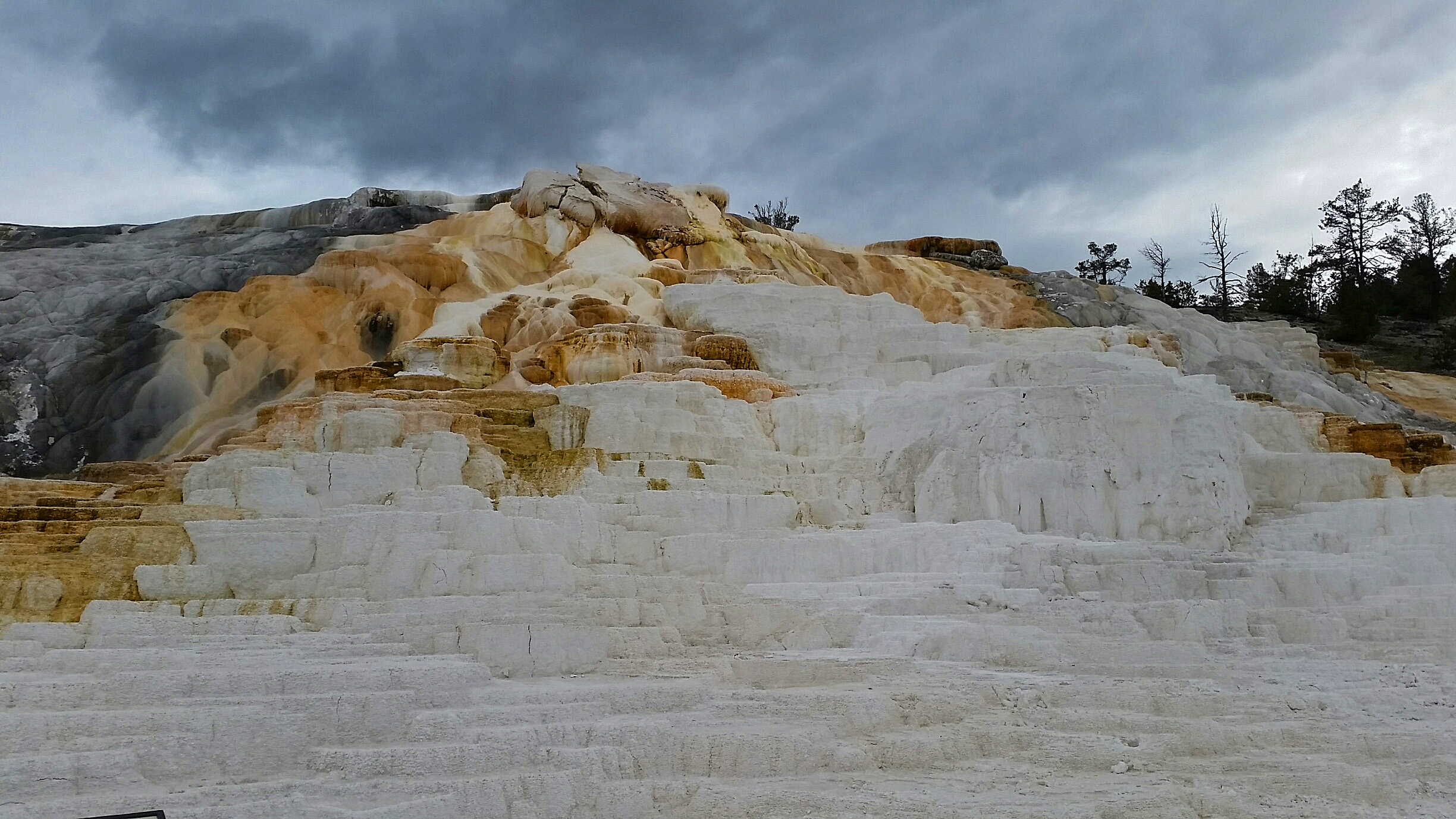
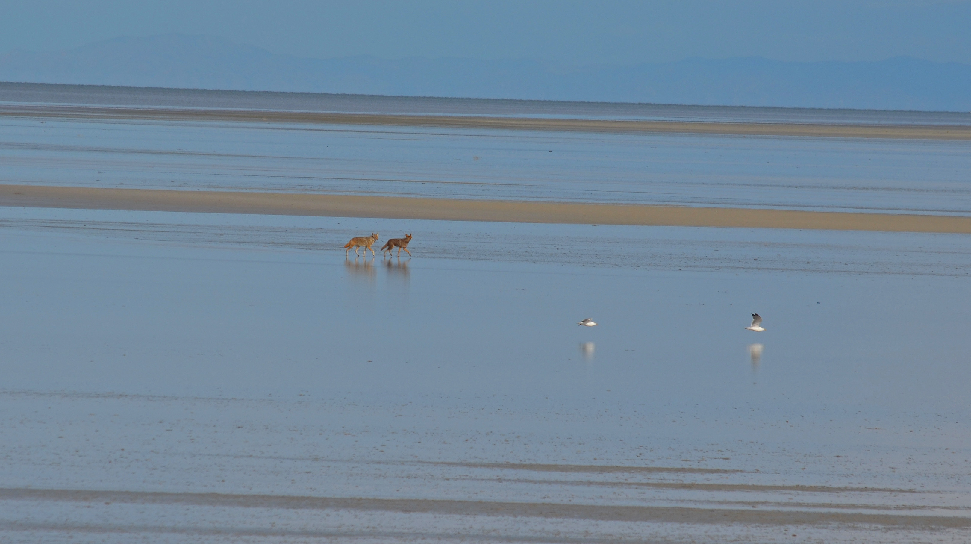
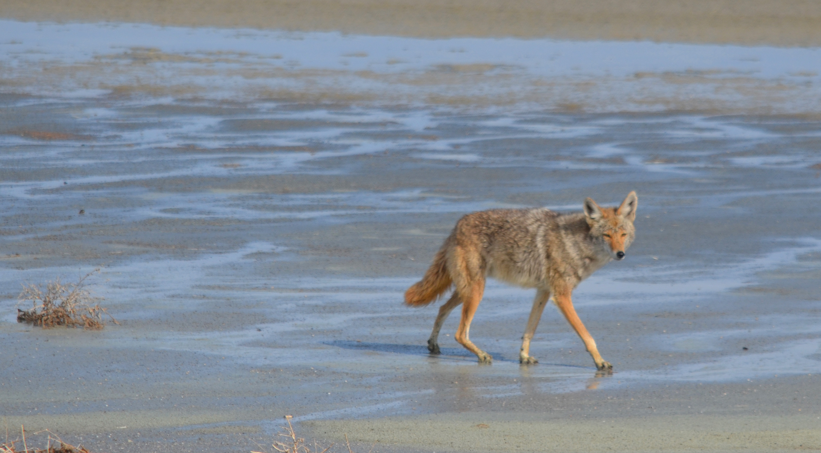
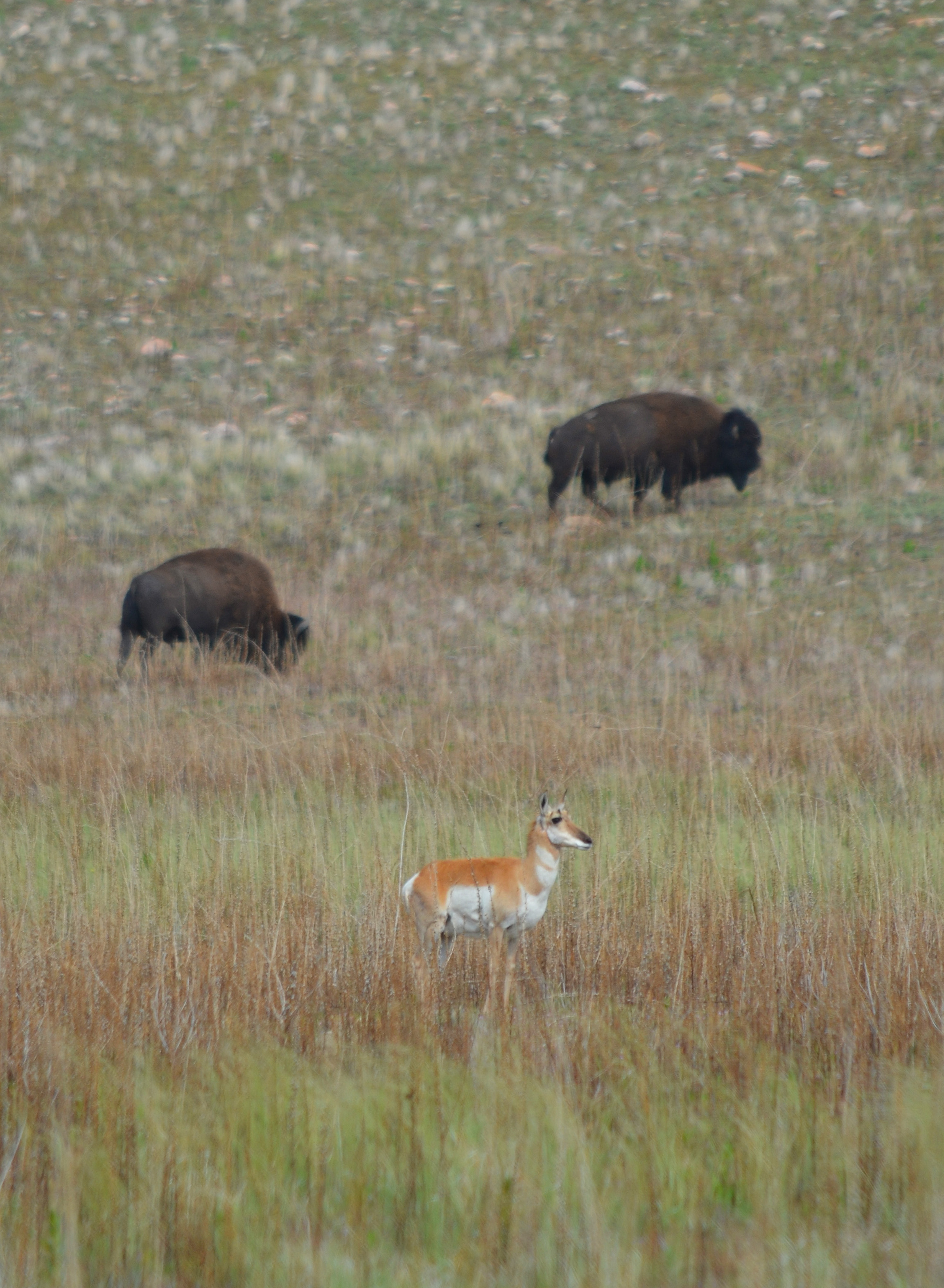
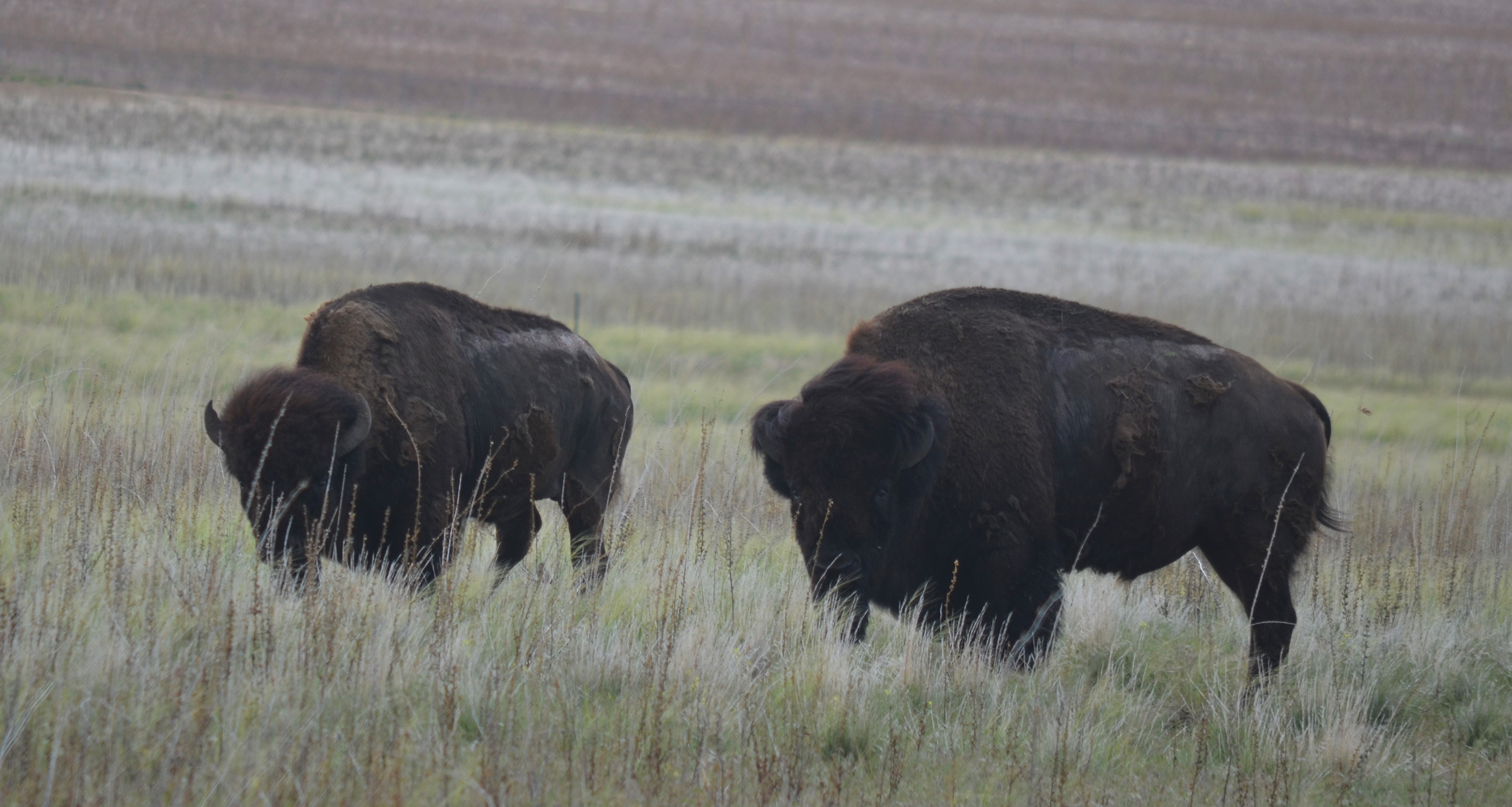
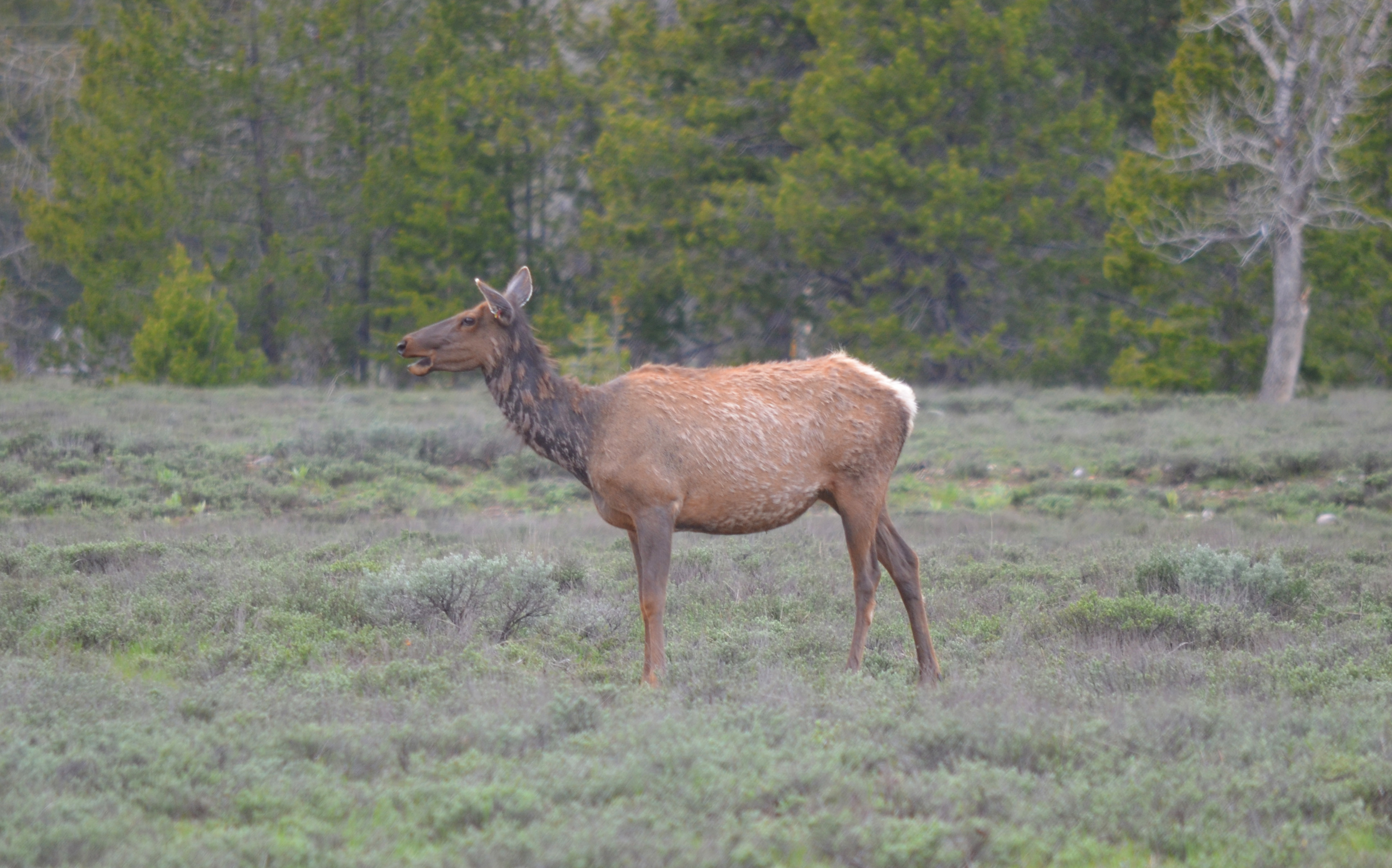
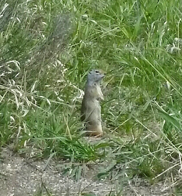
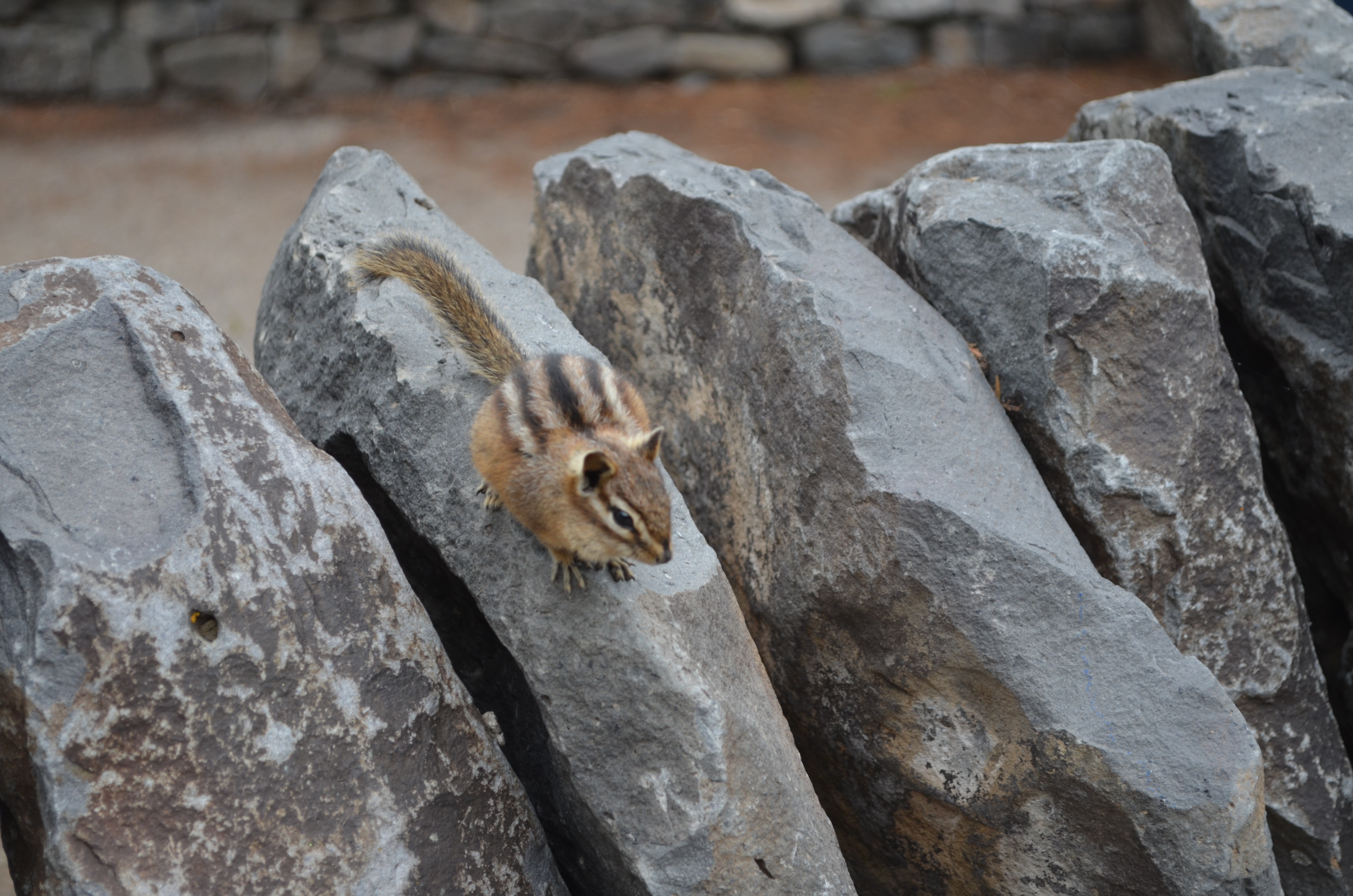
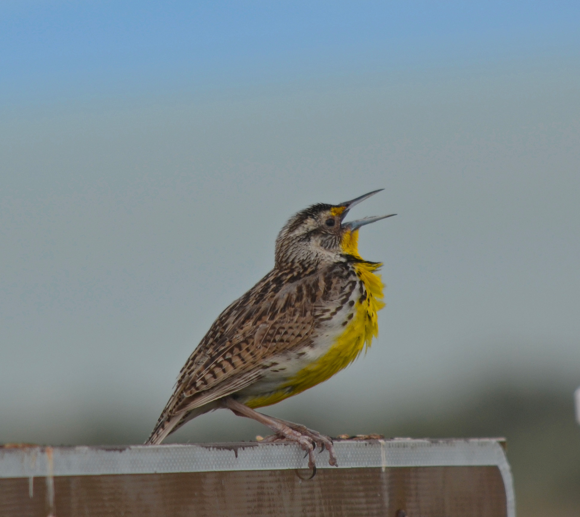
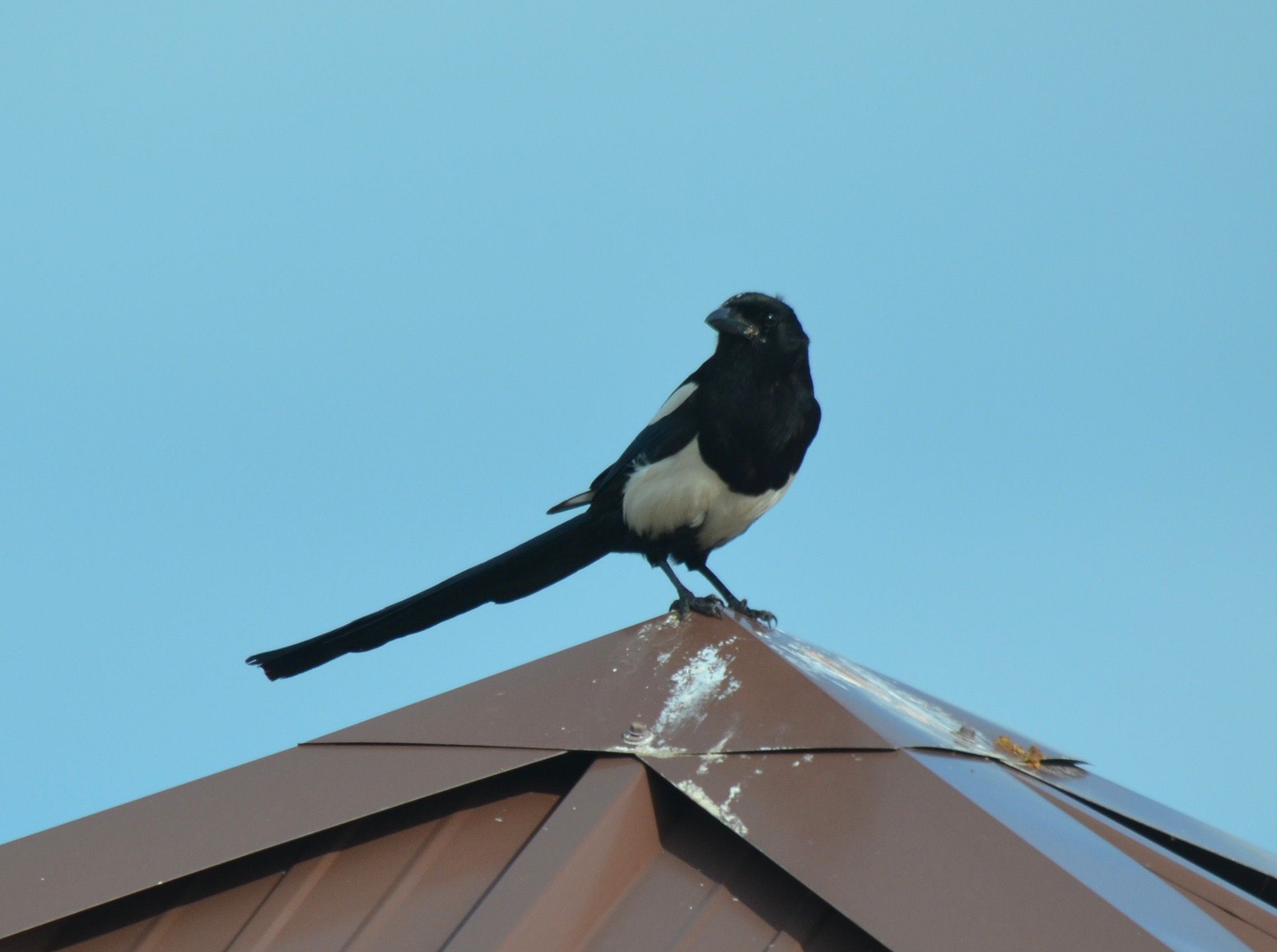
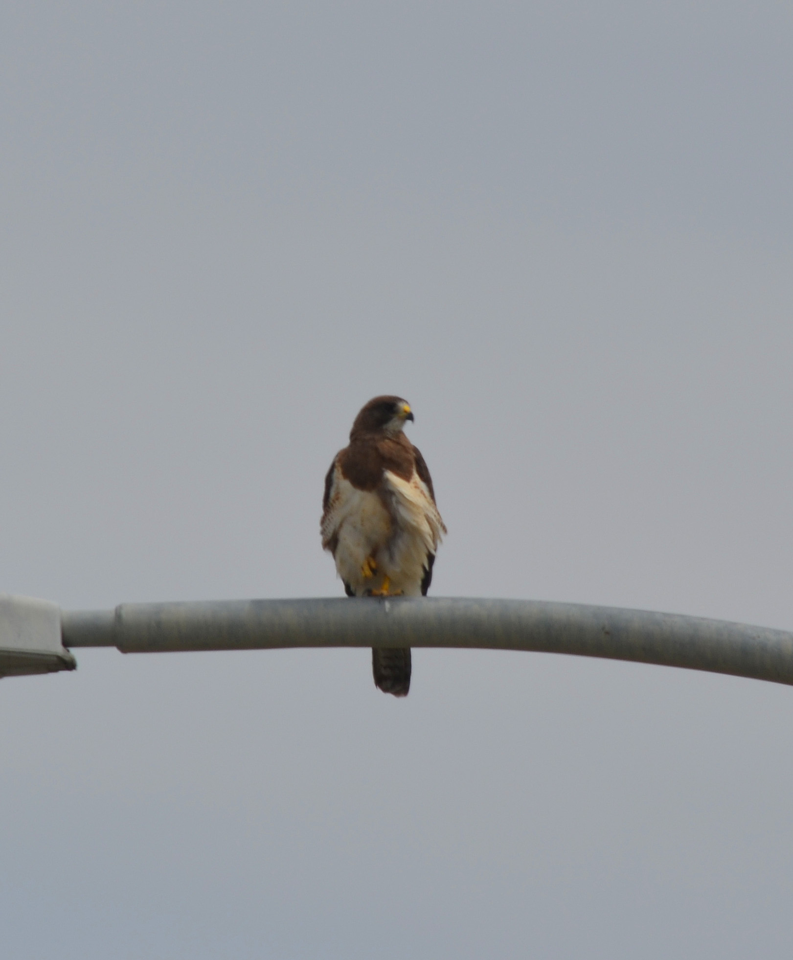
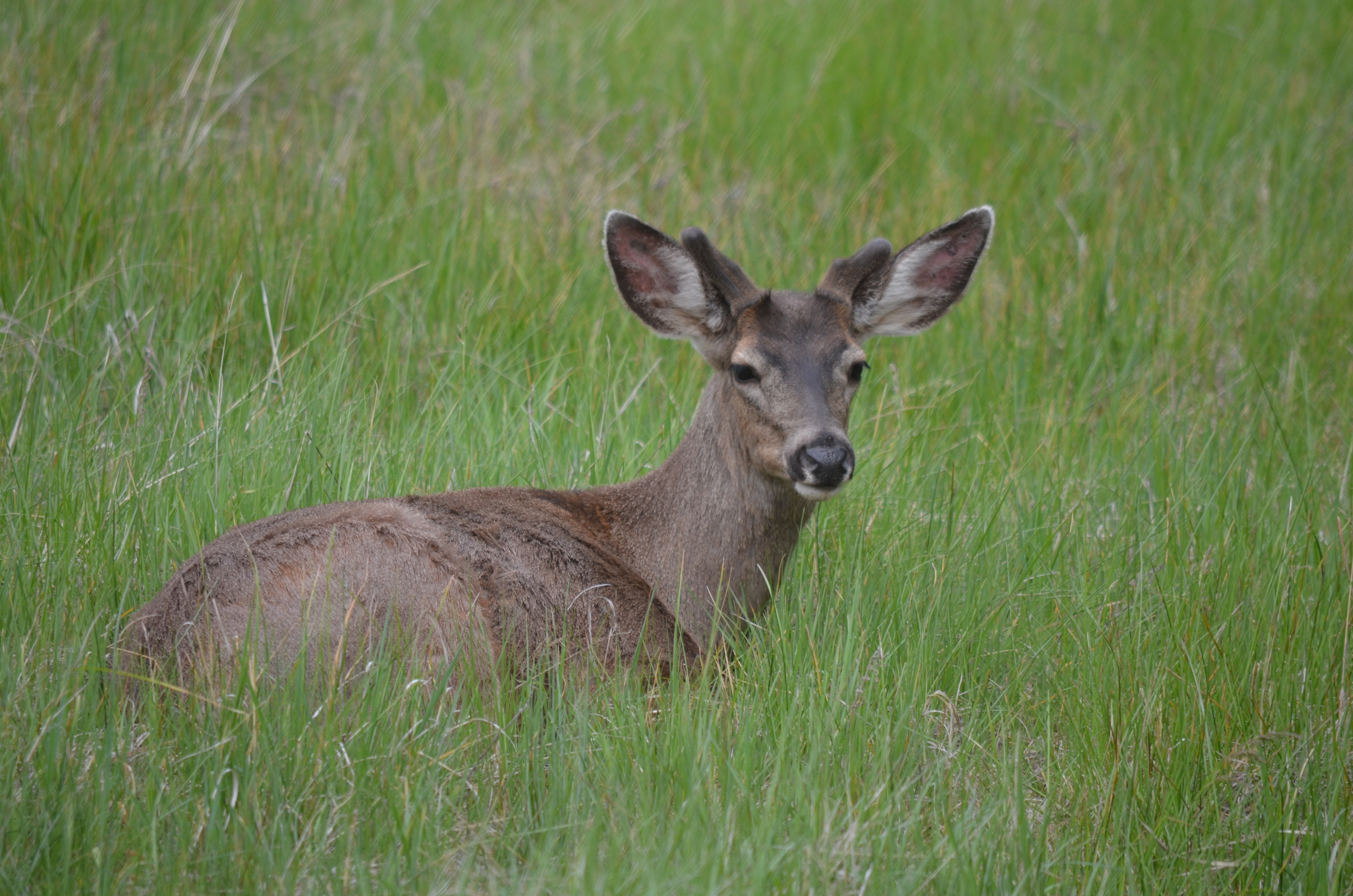
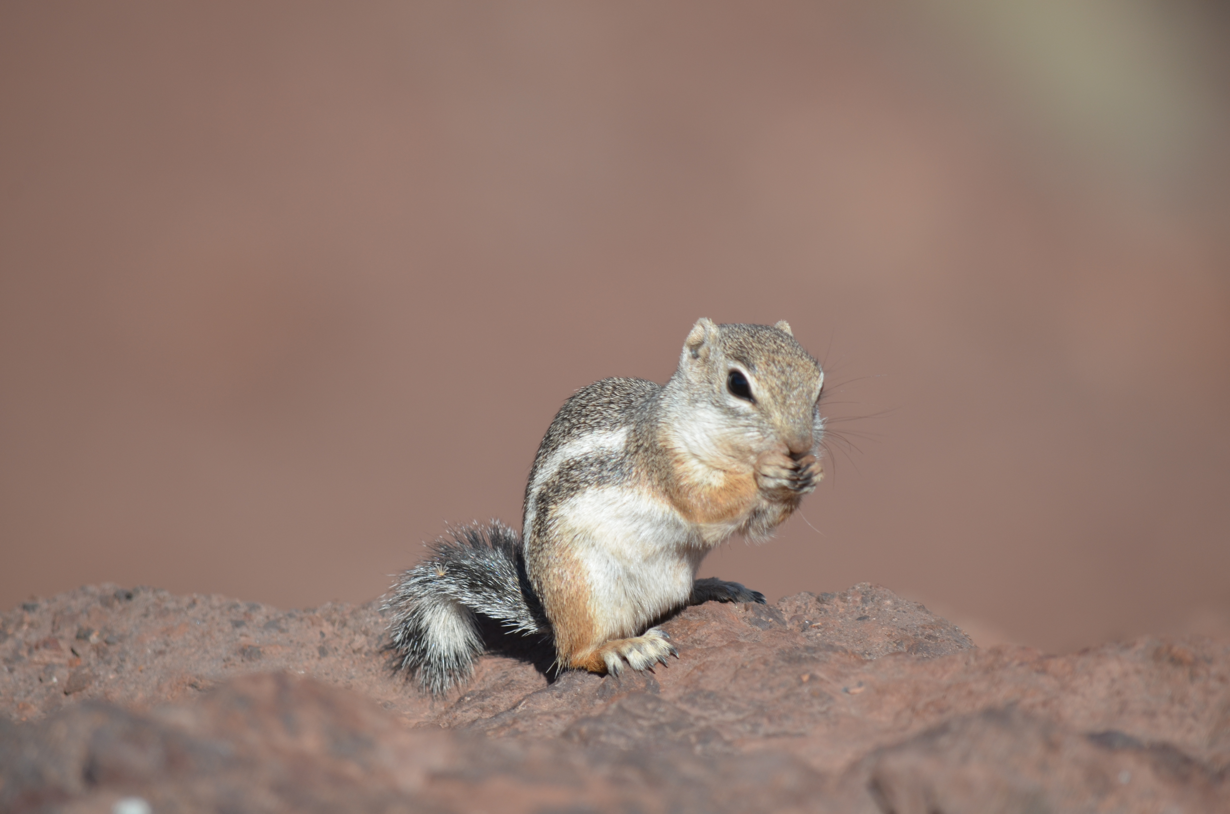
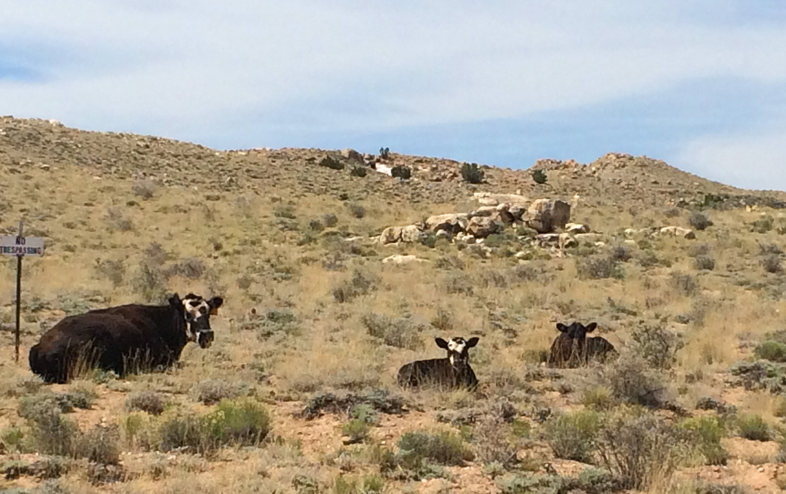
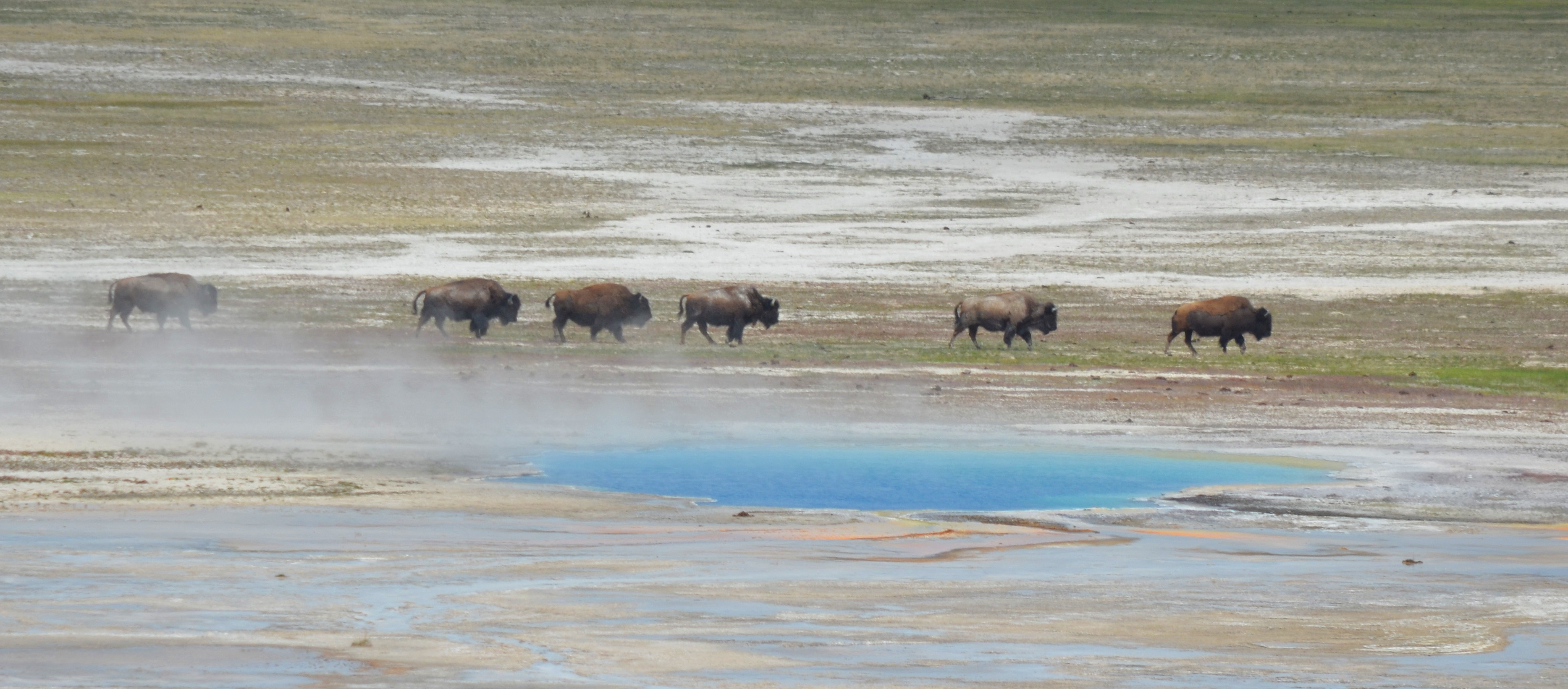
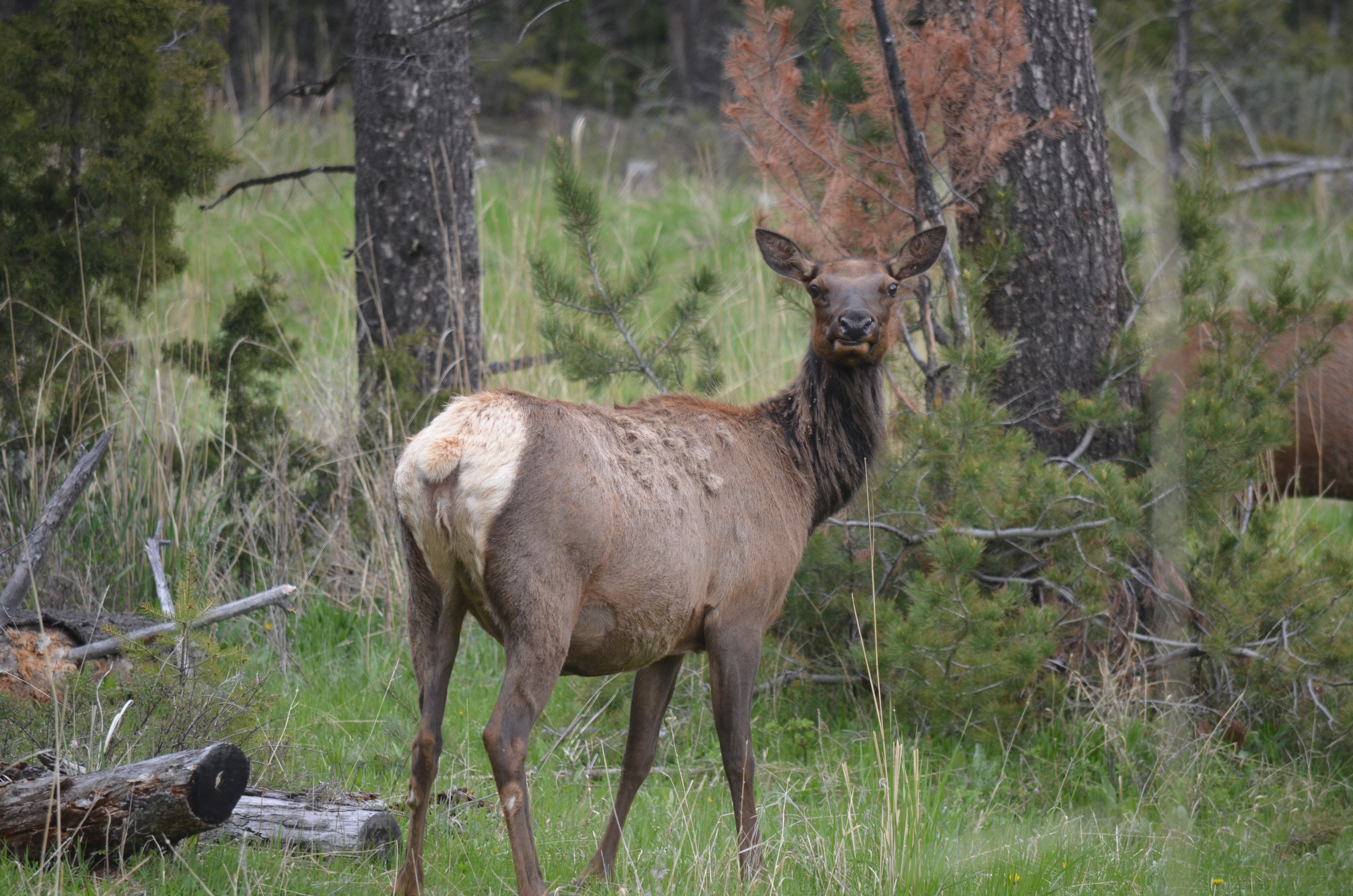
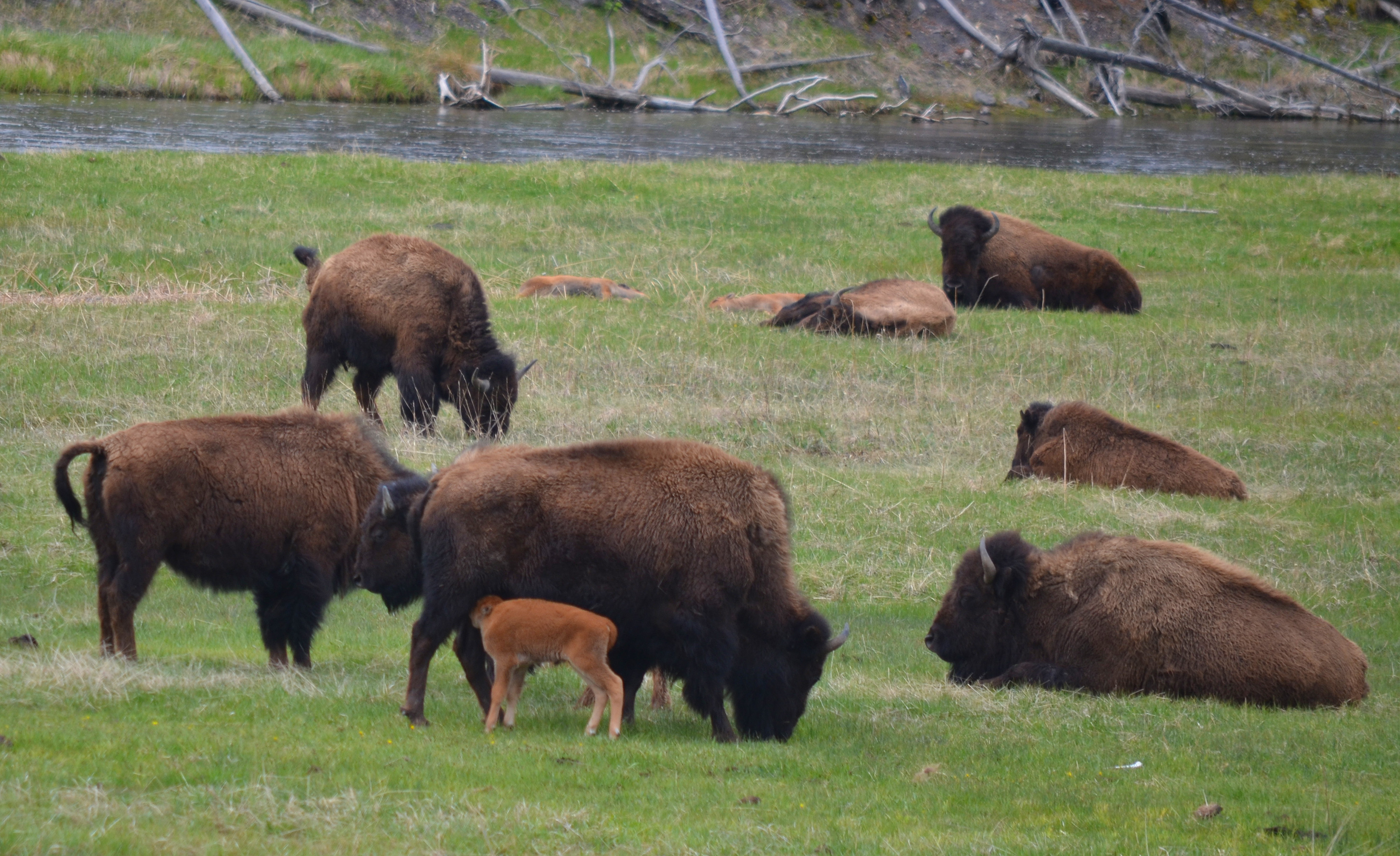
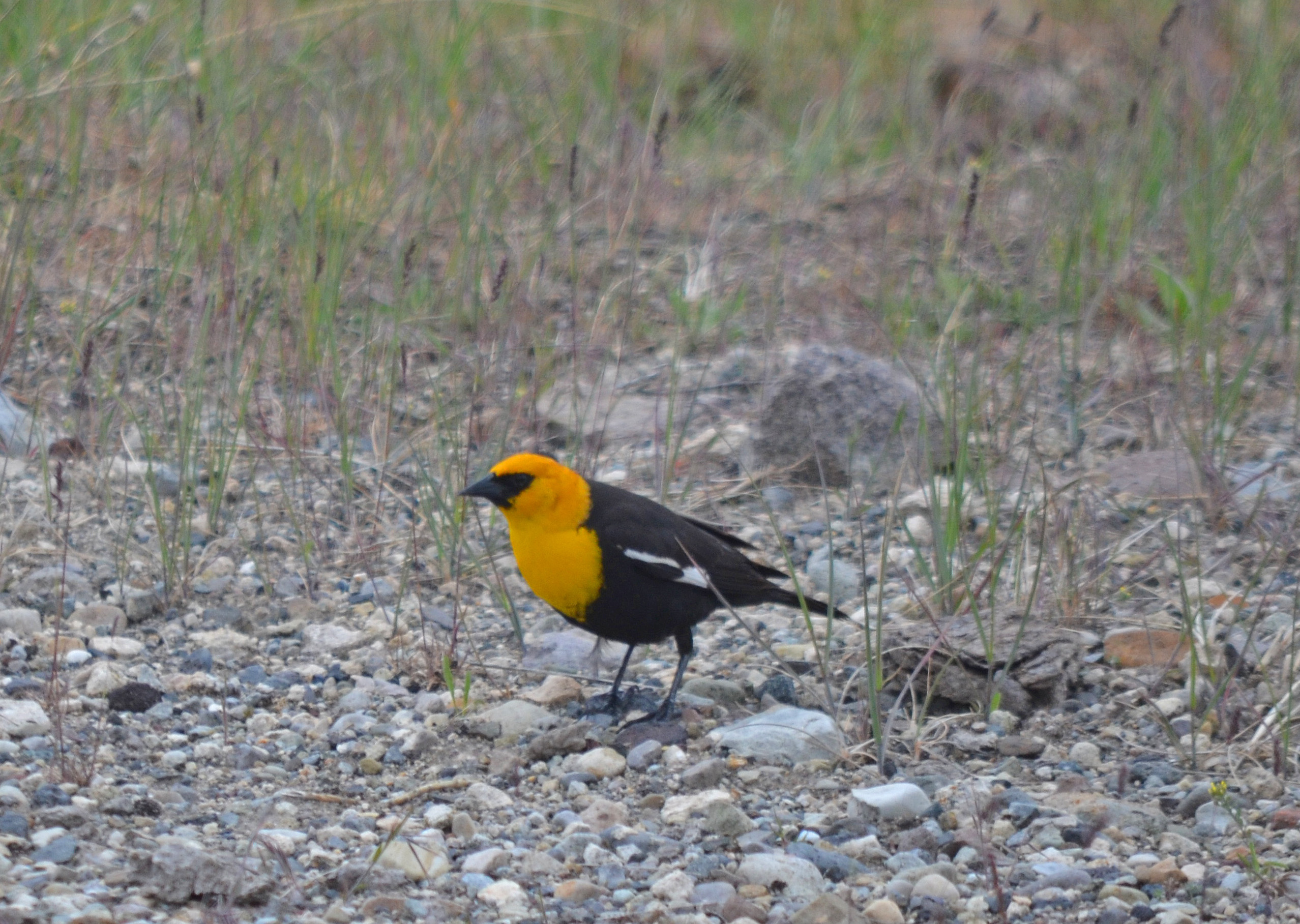
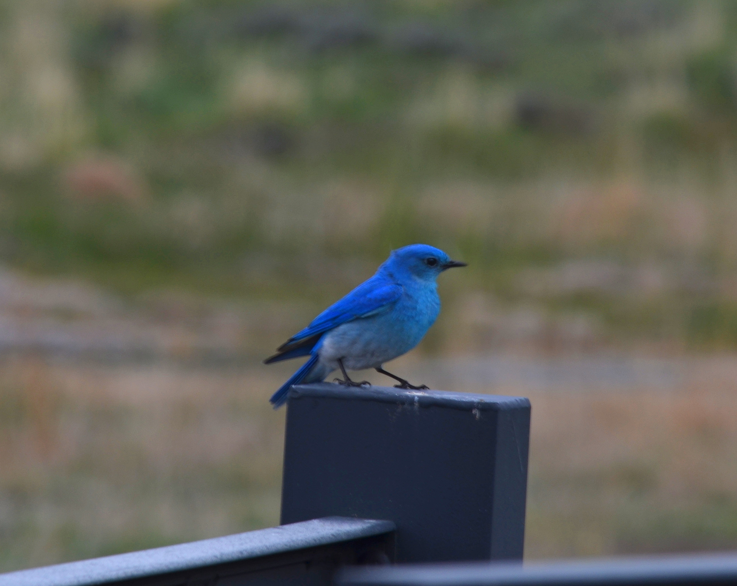
Old Faithful is the main attraction in one central location (along with a few others like Mammoth Hot Springs, Yellowstone Lake and Yellowstone Falls), then wildlife is what attracts visitors nearly everywhere else in the park. The park is well known for its variety of large critters, such as Elk, Bison, Grizzly and Black Bears, Moose, Wolves, Coyotes and many species of birds. No matter where you travel in the park, you have an opportunity to view one, or many, of these awesome animals-and where you find animals, you’ll find people. You start to see a very obvious pattern in Yellowstone NP. When you see lots of cars crazily pulled off the side of the road, there’s probably some kind of wildlife there. It becomes a bit hectic when there’s no space for many cars, but 50 vehicles will back up traffic to see a Bison laying down along the road munching on some grass. We’ve been very fortunate in the past couple days to see Elk, Moose, Bison, Mule Deer, Pronghorn Antelope and Coyote, but like many others, we still wanted to spot a bear. Darby in particular had even practiced her bear calls, which up to this point, hadn’t produced anything larger than a Chipmunk. Everywhere you look, however, there’s signs warning you about bears (Their slogan is BE BEAR AWARE) and even specific areas closed off due to “bear activity.” We closely examined every meadow, forest clearing and river edge, but still no sign of the hairy beasts.
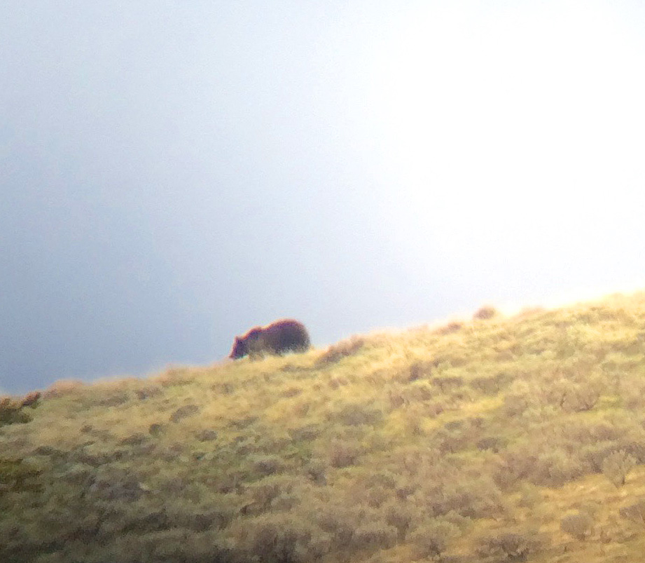
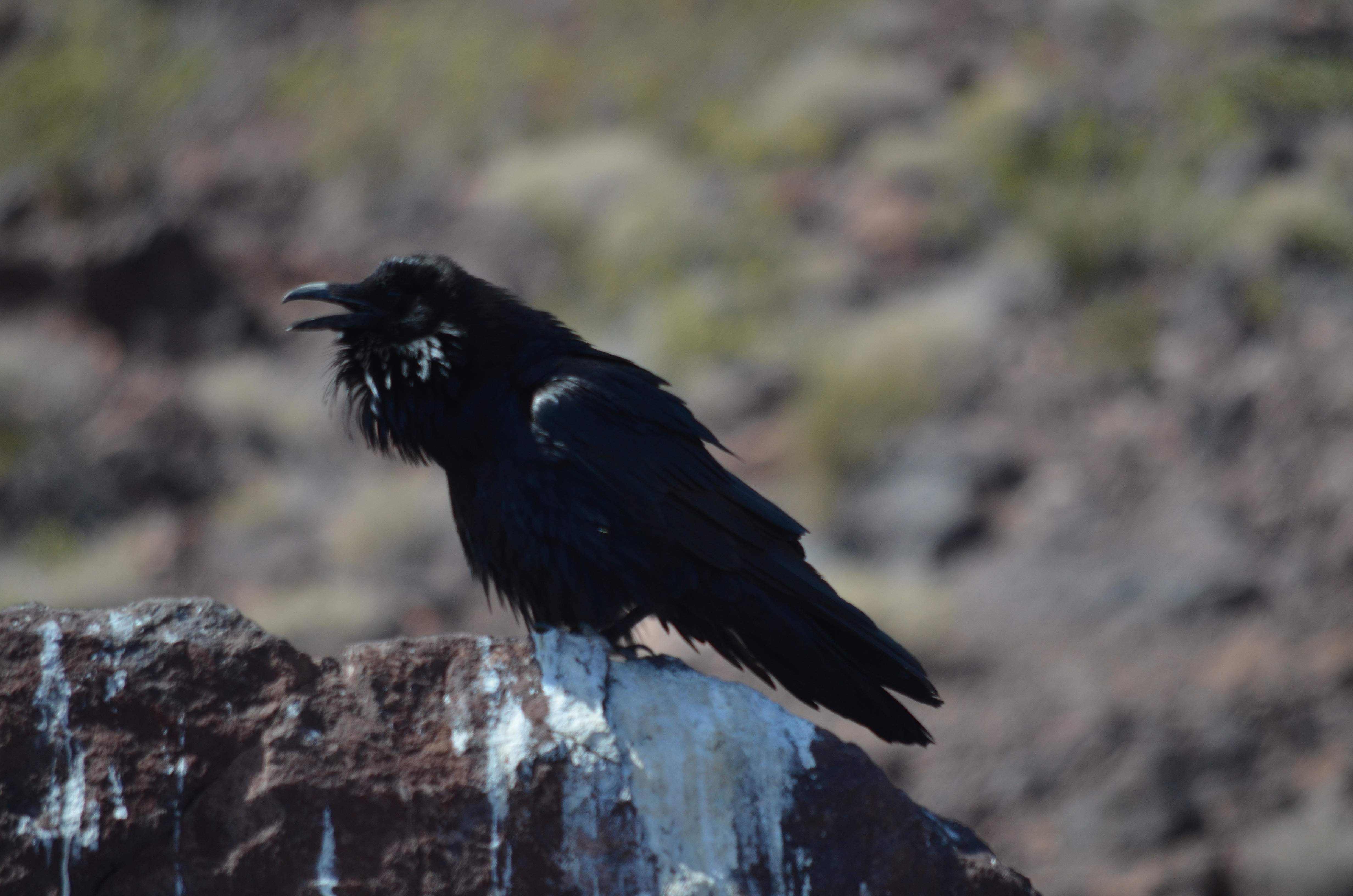
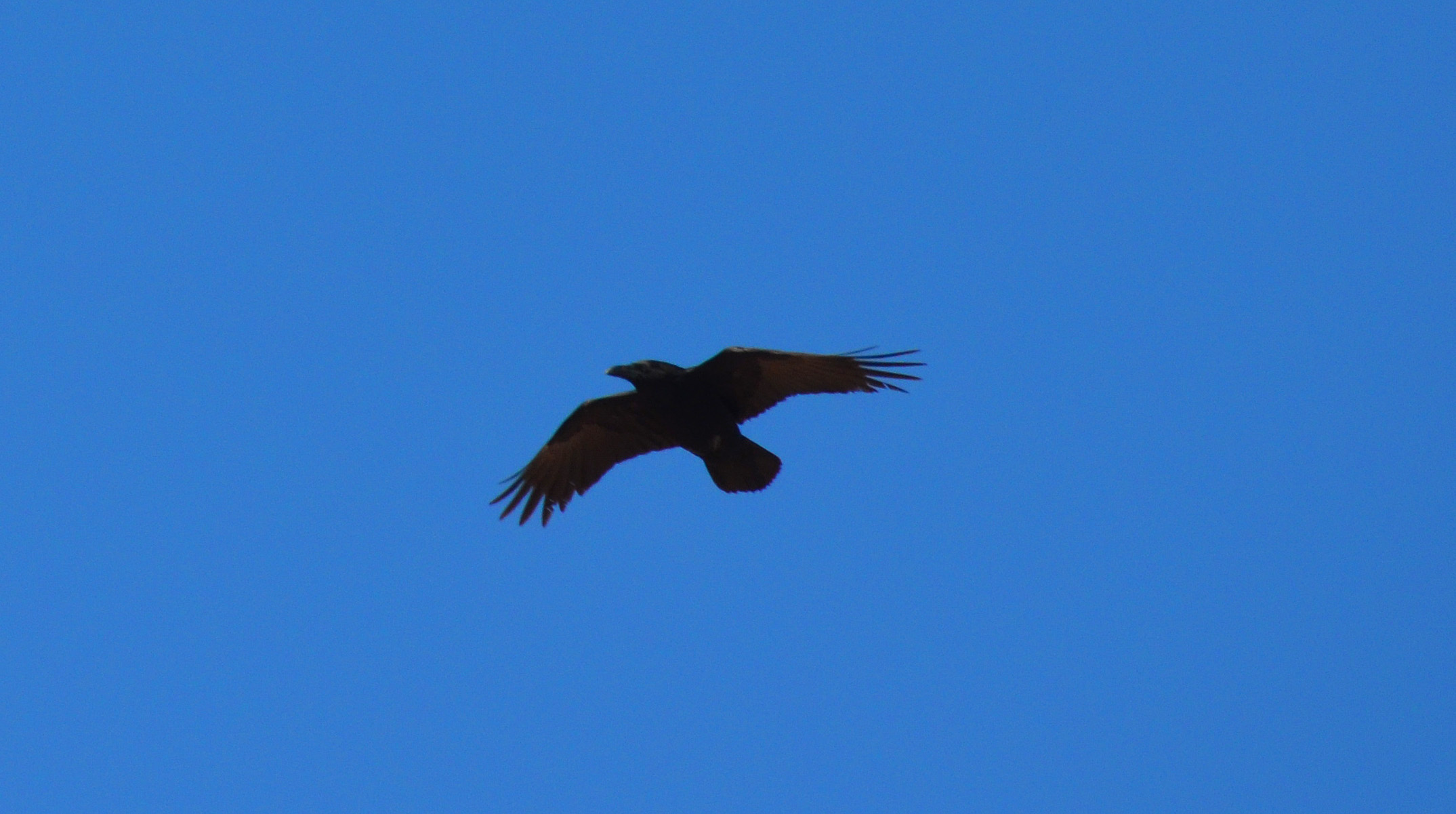
 But, after hours of looking, we caught a break with a little help. At the end of the day, on the way back to our lodge in West Yellowstone, MT, we decided to stop and scan a large meadow with some rolling hills behind. There was only one other car parked there when we arrived. I thought I saw something “bear-like” in the distance so I broke out my spotting scope. As I stood there trying to focus on this brown spot ½ mile away, an caravan of vehicles pulled in to the small parking area. About 15 cars carrying Asian visitors jumped out next to us pointing there cameras in the direction I was looking, but having no clue as to what they were looking at, or for. I truly believe they wanted to ask me, but didn’t know how. When I turned back to Theresa and Darby to tell them it was a Bison (false alarm) and not a bear, they must have understood because they all abruptly put away their cameras, hopped in their minivans and sped off down the road! They must have been wanting to see a bear, too! Just after they left, a man came up to me and told me that the camper (as he was pointing) down the road has a grizzly in view right now. So, like any good Yellowstone wildlife watcher would do, we jumped in Big Blue and raced on down the road, and sure enough, about a ½ mile away on a ridgeline was a a large Grizzly bear. It was obviously feeding on a dead animal because the Ravens were flying all around it and Theresa even managed to spot a Coyote trying to sneak in for a snack at the same time. Although it was a long way off, the spotting scope came in handy, and it was very cool to see. Darby was even steady-handed enough to use her iPhone to snap a decent photo through the scope lens. It was a great ending to another great day on our Big West Trip, and yes Yellowstone is every bit as good as you read/hear about! Just come and visit!