Monthly Archives: September 2016

Trail Time

Bikes loaded, check. Helmets and air pump loaded, check. Water and snacks packed, check. Backup water and backup snacks packed, check, check. It’s 8:00 am on a Sunday morning, and Theresa and I are off to bike another trail. “Where are we headed?” Theresa asks curiously. “We’re going north, to the D & L Trail,” I responded with a grin. Time to get those legs ready!

             trail   pinecreek1

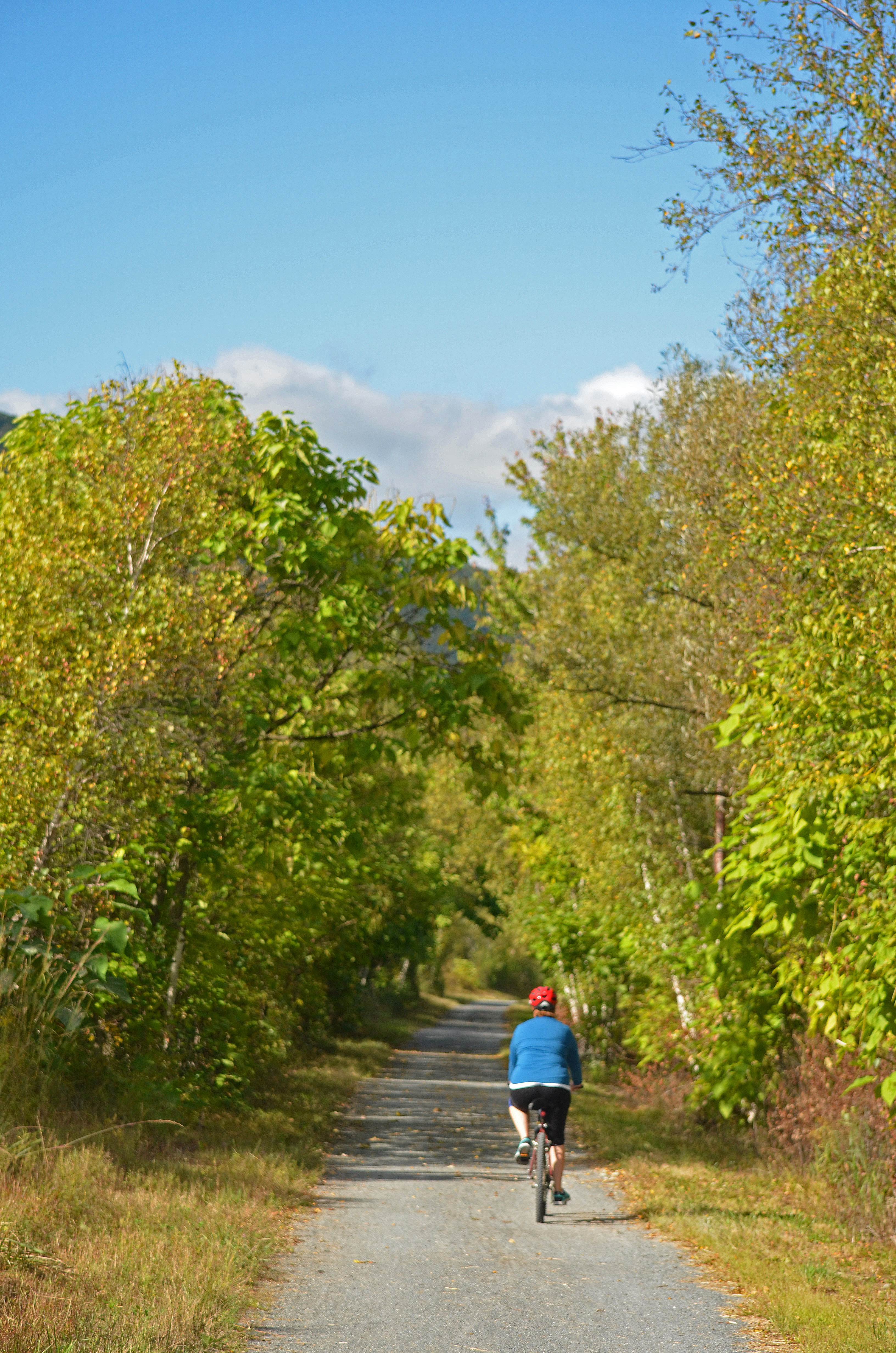
We’ve been biking rail trails regularly for about 3 years now. “Regularly” for us is a couple trips/month. Our trusty 20+ year old hybrid mountain bikes have carried us over many miles. Years ago, both our kids would join us on our journeys. Now that they’re away in college, it’s pretty much the wife and I, although our daughter does still ride with us occasionally when she’s home from school and not working. Since our outings are only day trips, so far, we’ve limited our destinations to within two hours of our home. But since we like to try as many different trails as we can, we’re running out of “local” trips, and may have to expand out a bit further.

irontont1 yhtrail2

irontont2 srtthun1

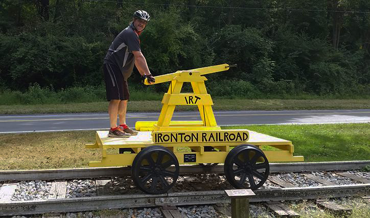
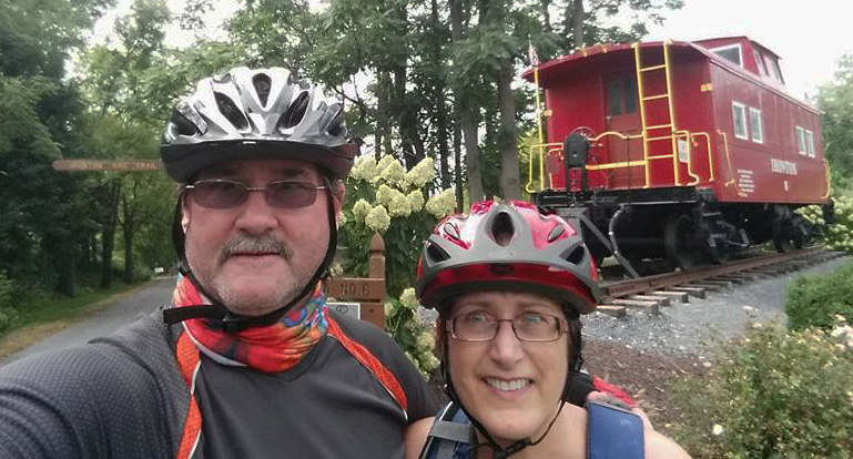
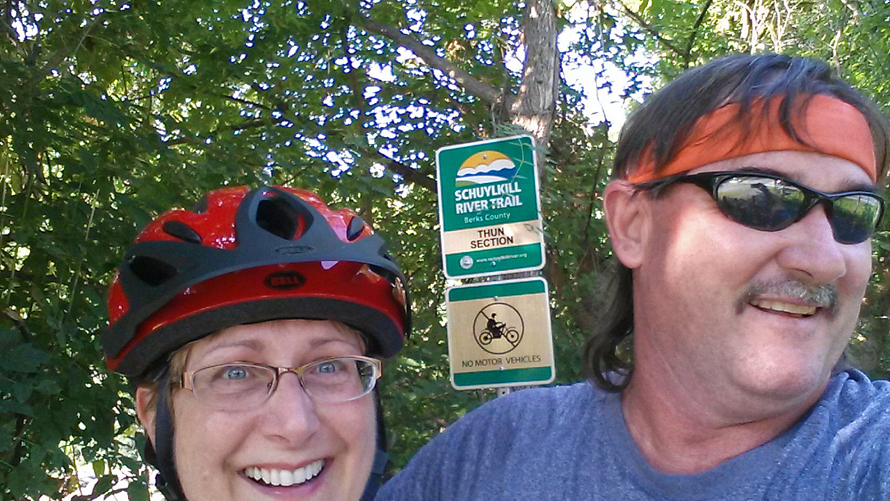
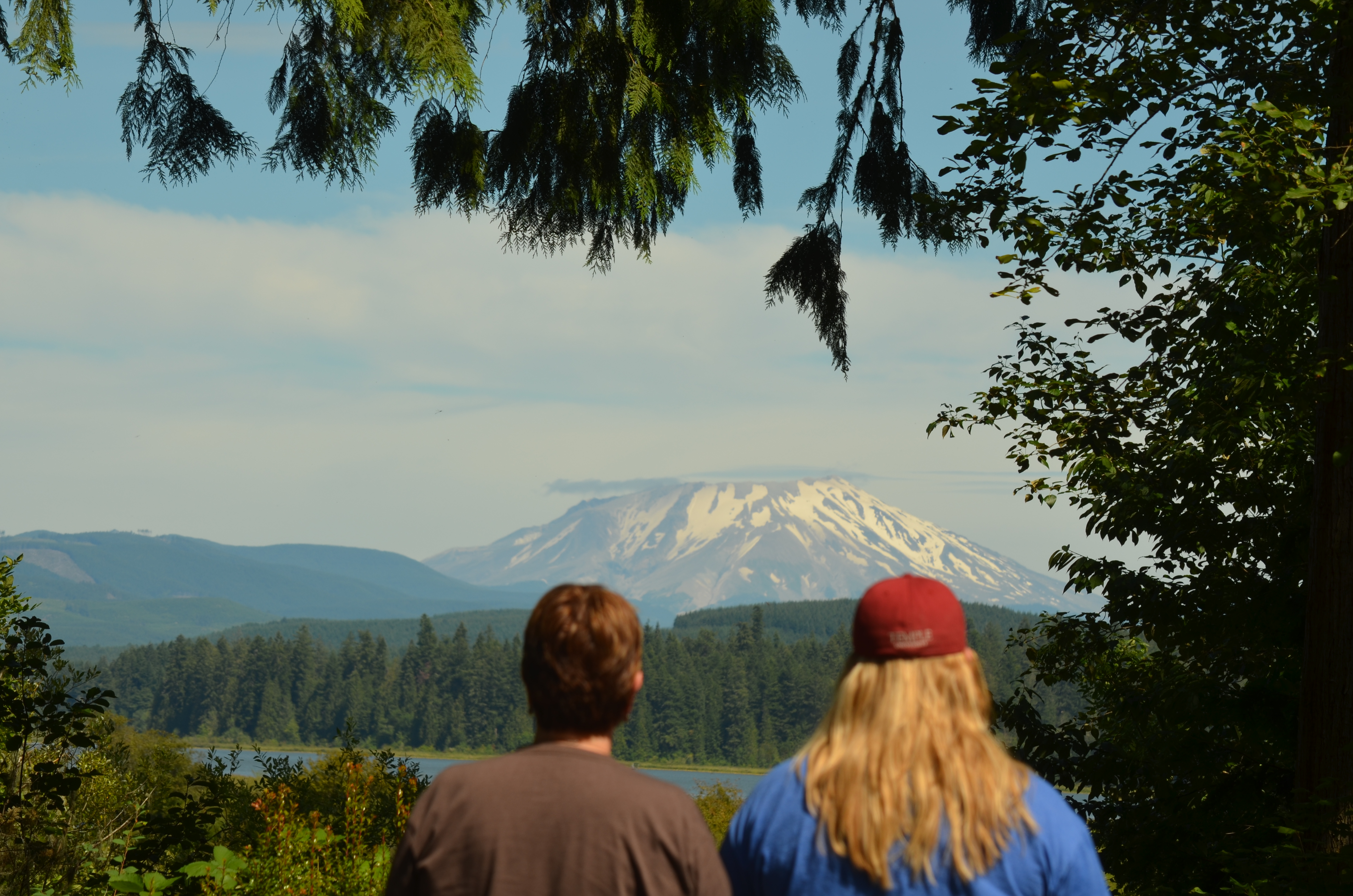
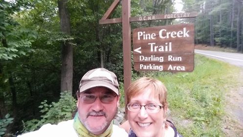
Many of our trail trips include stops to check out interesting gadgets of history, nature and of course, the ever popular selfies-which we really haven’t mastered yet!

We have lots of reasons we enjoy biking on rail trails.

  1. It’s fun! If it wasn’t fun, we wouldn’t be doing it!
  2. It’s great exercise, and of course, as we get older, we need to keep active for our health and wellness. Bike riding is a great workout-both for cardio and strength training. It’s much easier on your legs, knees, ankles and feet than running.
  3. Biking gets us outdoors, where we prefer to be on weekends-out and about.
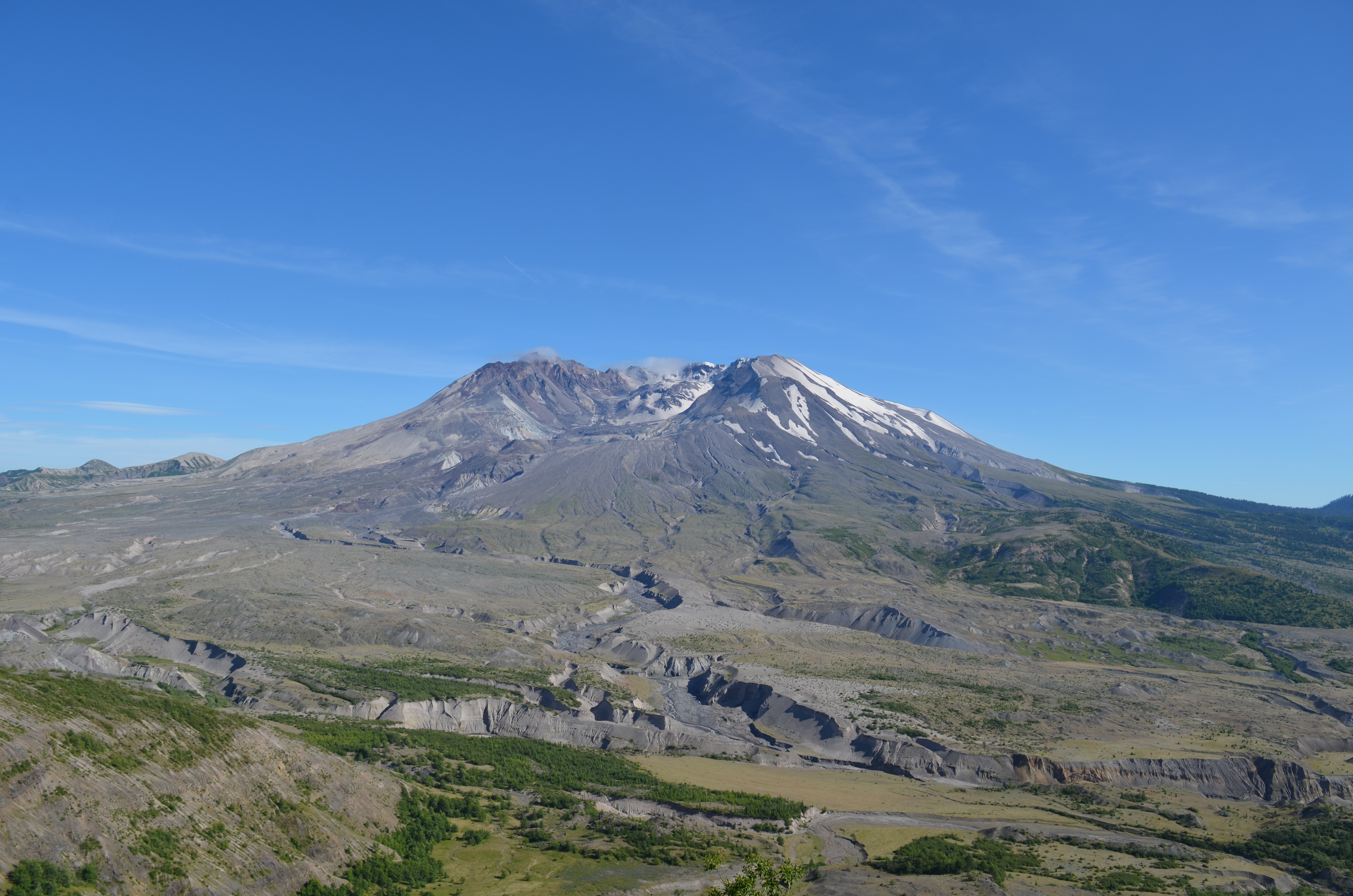
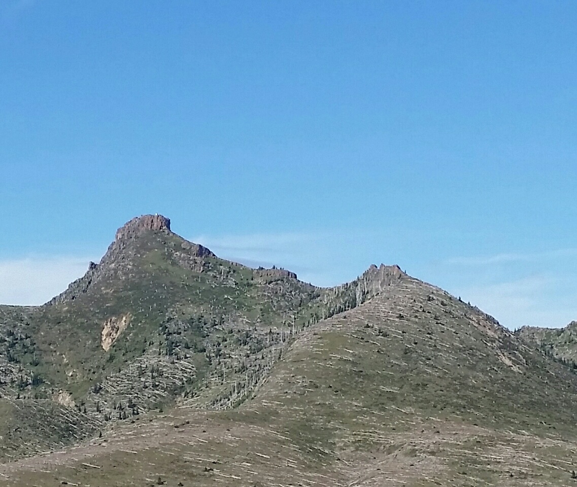
  4. We get to see lots of cool nature along the way, like wildlife, wildflowers, waterfalls and scenic views.
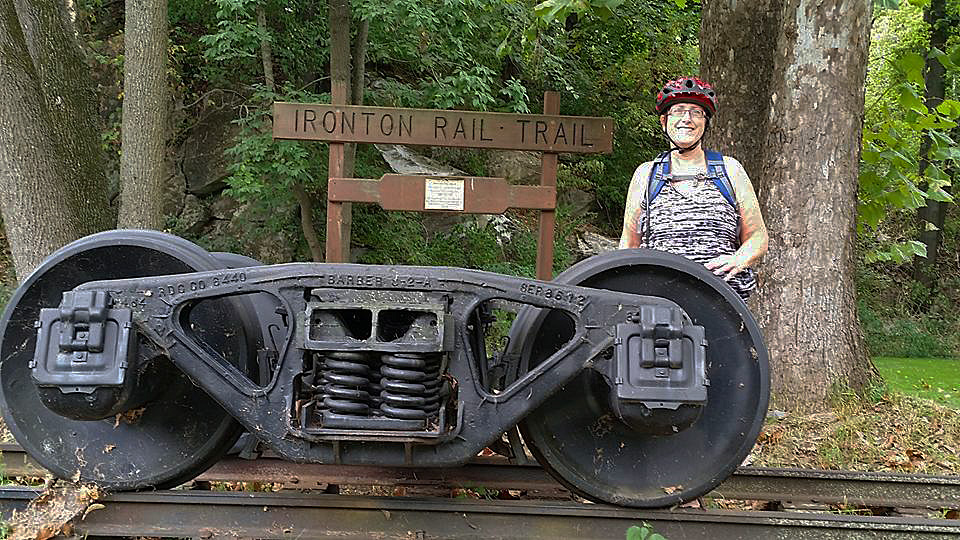
  5. Since most of the trails are old rail beds, we learn about the history of the railroad-what it carried, and its impact on the early settlement and industrialization of our country.

yhtrail3 exeter3

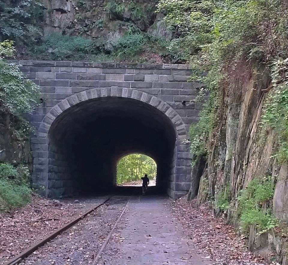
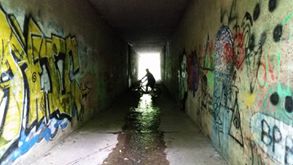
                                                Some trails include tunnels-some historic, others “artistic!”

irontont3 yhtrail1

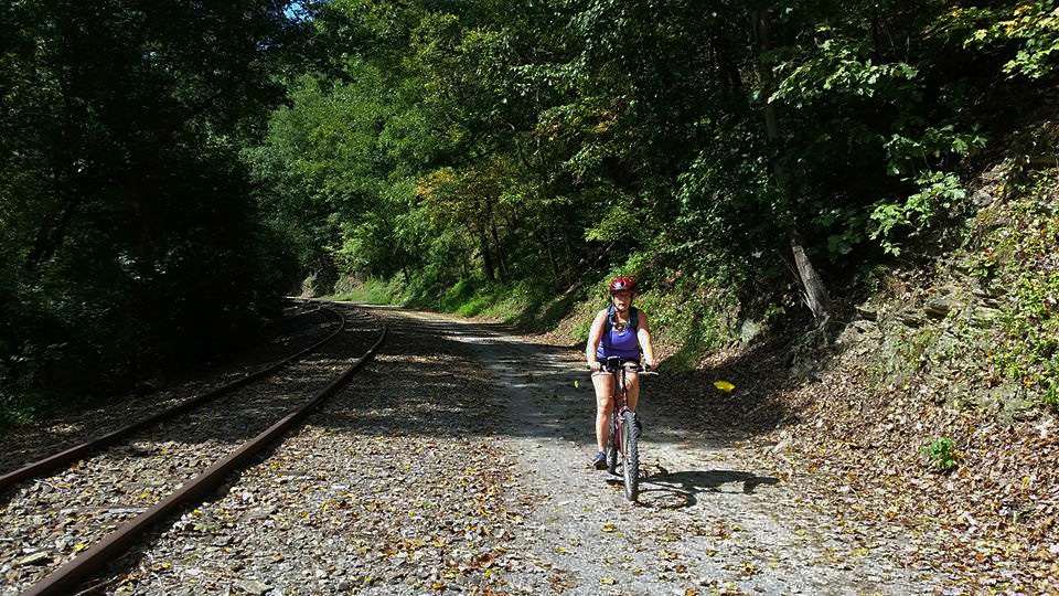
Don’t get me wrong. We’re not long distance riders. Our longest round trip to date is 16 miles, and we’re fine with that. My legs and butt always let me know if we’ve traveled far enough! Actually, my wife has a bit more endurance than I do, so when my body tells me I’m just about spent, she’s the next to know! I’ve also had my fair share of mini-mishaps. Like the time we we’re riding the Thun section of the Schuylkill River Trail and I was riding close behind her, and our daughter Darby was out in front. I glanced over to check out a hawk, lost my balance, clipped the back wheel of Theresa’s bike, and went down like a ton of bricks. Fortunately, Theresa kept pedaling and maintained her balance. However, I landed hard on my shoulder, got two thorns in my arm and rolled into some poison ivy. After quickly determining that I had no broken bones, I jumped up to see if anyone saw my catastrophic trail crash, only to see Theresa’s silhouette cruising on down the trail and shouting, “You OK back there?’ “Yep, just fine dear,” I grunted, dusting myself off. P.S. Glad I was wearing my helmet. I love biking!

srtthun2014a pinecreek3

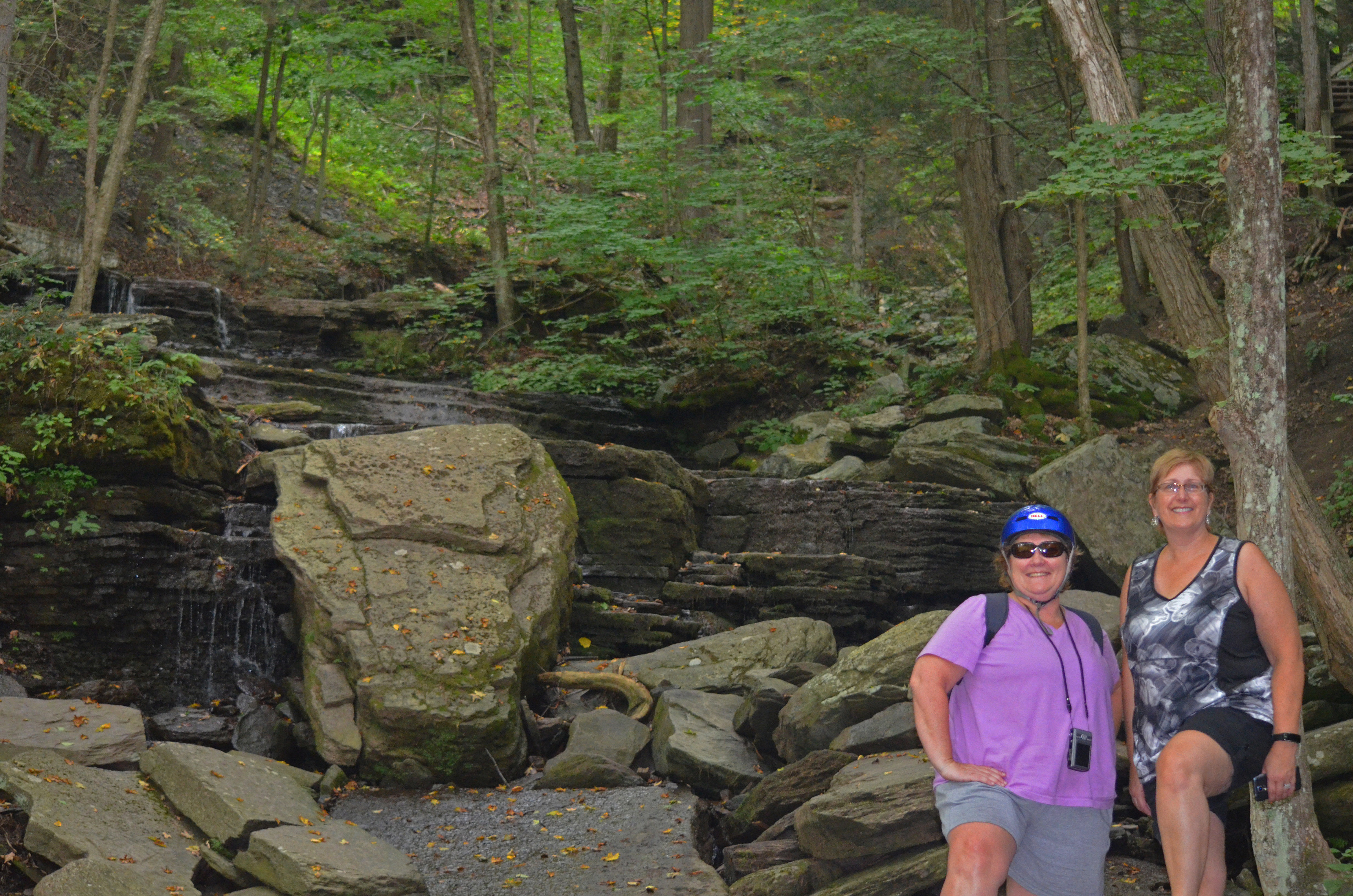
Taking in the sights. Mother & daughter check out the Schuylkill River along the Thun Trail, and sister & wife take a break near a waterfall, along the Pine Creek Trail.


Great Northwest Passage Trip – Up From Below

In late March of 1980, scientists recorded a 4.2 magnitude earthquake deep below Mount St Helens, in the Cascade Mountains in Washington State. Seismic activity continued to grow over the next six weeks. Then, at 8:32 am on May 18th, the mountain could no longer hold back the inside pressure, and the most destructive U.S. volcano had begun to erupt.

mshelen1 mshelen2

Over the next 9 hours, the eruption created clouds of superheated gas and rock debris blown out of the mountain face moving at nearly supersonic speeds. The ash clouds reached 15 miles (80,000 feet) into the atmosphere and deposited ash in 11 states. Day was turned into night. The initial blast wiped-out everything instantly within 8 miles, and the shockwave that immediately followed leveled every tree in the surrounding forest for another 19 miles. The total area shattered by the blast was an astonishing 230 square miles! Sadly, 57 people lost their lives that day, and the economic losses were estimated to be 1.1 billion dollars. Before its eruption, Mount St Helens was the 5th largest mountain in Washington, at 9,677 feet. After the eruption, it lost about 1,300 feet in height-now standing at 8,365 feet in elevation.mshelen4

It’s been 36 years since the eruption of Mount St Helens, but as we drove the winding road to the Johnson Ridge Visitors Center for a closer look at the volcano, the devastation was still clearly evident all around us. Seared dead timber still stands on the surrounding ridges and vegetation is just starting to return to the slopes of this massive mountain. We pass by a large, gray-looking river valley, a mile wide and full of debris, rocks and dried mud. It was one of the most eerie, but unique landscapes, we’ve ever seen. Knowing the tragedy that happened to the people who lost their lives that day, it was also one of the most somber.

mshelen5Today, the USGS (United States Geological Survey) continue to monitor the volcano for earthquakes, swelling and gas emissions. Volcanologists believe it’s not a matter of IF it will erupt again, but simply WHEN.


BEAUTIFUL BLUE CRATER

cl2

Approximately 350 miles south of Mount St Helens, in the southern Cascades of Oregon, is the remains of another massive volcano, called Mount Mazama. Never heard of it? That’s OK, probably the millions of people who have visited this site never have either. Now it’s called Crater Lake. That’s because the eruption of Mount Mazama occurred about 7,700 years ago and was so violent it triggered the complete collapse upon itself, creating what’s called a caldera. It simply dropped into the earth. What it left was a crater, 6 miles wide and 2,150 feet to the top of the rim. Many people think that Crater Lake was formed by the impact of a large meteor! In the crater, a lake formed from rain and melted snow. Today, precipitation is still the only source of water into the lake. There is no inlet or outlet to the lake. It averages about 66 inches of rain each year and about 533 inches (44 feet) of snowfall. The water in the lake is so blue and clear it almost looks unreal. You can actually see down almost 100 feet. Crater Lake is 1,943 feet deep. That makes it the deepest lake in the United States, and the ninth deepest lake in the world! Crater Lake became a National Park in 1902.

cl3 cl4

20160702_154538_resized

Back in the spring we had made reservations to take a boat ride down in the lake. This was a rare treat since they only run them for a short time each year and they sell out very quickly. There was only one small catch, you had to hike down to the lake from the north rim, about 1.5 miles. No problem we thought, we’ve been hiking at various parks for 10 days. The trail down was wide and well maintained, with many switchbacks. Both Tyler and Darby had gone out in front of Theresa and I, like they normally did-our pace was a bit more leisurely. The Ranger-led boat ride was great-very educational with fantastic views of the crater from down in the lake. It was when we returned to shore, we that we got a reality check. We had to walk back up the same steep, winding trail we snickered at on the way down. I was sure the 1.5 mile route we took down had somehow turned into a hot, brutal 5-mile hike back out! I was gasping, grunting and had run out of water. It reminded me of a Looney Tunes cartoon, as I stopped to rest on the edge of a high drop-off and was half waiting to see a roadrunner standing there watching me blow myself up with an ACME rocket, or a large anvil come falling out of the sky on to my head!

cl8 cl9

                     Hiking the 1.5 mile trail down into the crater for our boat ride on Crater Lake

cl7

cl11 cl13

                          cl12                      cl14

A rock formation called the Phantom Ship sticks out of Crater Lake, while a 50′ dead tree that’s been bobbing in the clear, blue water, floats on by.

Whether a volcano still towers above the surrounding land, or leaves a large crater in the earth’s crust, nothing can stop nature’s power that rises up from below! Stay Tuned!