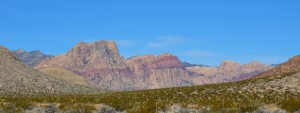
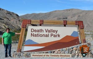
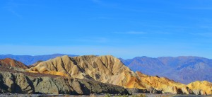
After an exciting, and interesting night in Las Vegas last night, we left a much more quiet and calm strip this morning and headed west, into California. On our agenda for today was the hottest place in the U.S., and the lowest place below sea level in the U.S.-Death Valley. On our way to Death valley NP, we motored through more areas with scenic mountains and high desert, that varied from elevations of 2,000 feet to 5,000 feet. We slowed down as we came upon signs stating “Caution-Controlled Burns Ahead.” Tyler and I were eager to see what they were burning and how large an area they were trying to manage. As we rounded a long curve in the bumpy highway, we laughed when we saw two highway workers burning tumble weeds that had collected (and piled) in the median strip between the two roadways! Their technical equipment: a blow torch and a fire extinguisher, just in case one of the burning tumble weeds try to make a break for it, and tumble into the wilderness. We were rewarded a few miles later, however, for our many hours of dedicated wildlife looking, when we spotted a beautiful, mature Golden Eagle perched on a nearby power pole.
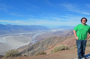
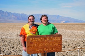
Death Valley is an incredible, harsh environment. Daytime temps in the summer can reach 120 degrees Fahrenheit. It has the lowest spot in the U.S., at 282 feet BELOW sea level. In it’s lowest areas there are miles of barren, dried up salt flats. To the average visitor, it looks like a hot, dry desert, but upon closer examination, it’s really a hot, dry desert! Even today, in early February, it felt hot, as we stood in the dry, 75 degree sunshine (Sorry, to all our friends and family back in PA-don’t worry, I’ll be back joining your lovely weather very soon). As you stand and look at the miles of dry, barren soil, showing patches of white, salt deposits, you also can’t help noticing the high mountain peaks, covered with snow that seem to stand guard around the hot valley below. Tyler and I debated how wide the valley was, and if either of us thought could walk across it in the summer, without ending up like a French fry, or worse! I wondered if we did run in to trouble, would vultures really show up and start circling? I also pondered if the endangered California Condor might be with them? I think I would be worth an endangered species! We challenged each other to return in the summer and give it a try (I’ll let him know in a few months that I had something suddenly come up, and won’t be able to make it!). Like many other sights we’ve seen, and places we’ve visited on this trip (and described), we highly recommend that you get yourself out here and see them in person. If someone sends you a photo or two to click on, and it looks or sounds interesting, put it on your bucket list to visit . It may not be the destination of your vacation, but if its only a few hours away, take the time to jump off the beaten path and check some of them out-you might just be pleasantly surprised!
Day 7 has ended, and so has our Big West Trip. We are thankful (and blessed) to arrive safely at our final destination in Paso Robles, CA. I finally had the privilege of meeting Tyler’s girlfriend Amelia, who is just like he described to us-pretty, warm, funny with a bubbly spirit! She fits in nicely with the Wood crew! We ended our evening with a great dinner at Fish Gaucho, and I look forward to spending my last couple days in CA bumming around with the two of them! Our final trip tally: 3,875 miles. I’ll still be blogging my last two days here, but will kick back and let someone else drive me around! Good night from California!

