Category Archives: Discovering Nature and the Great Outdoors

White, Green and Everything In Between

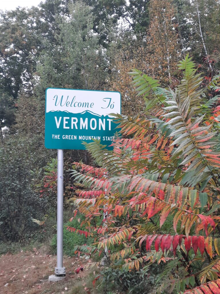
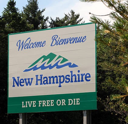
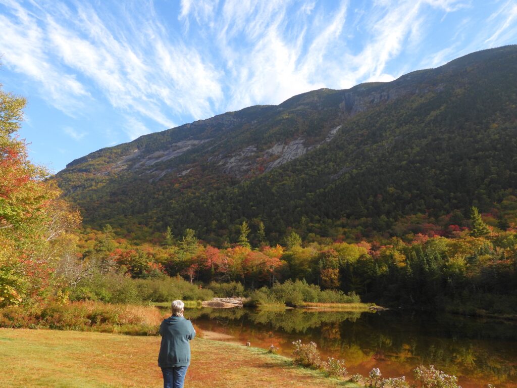
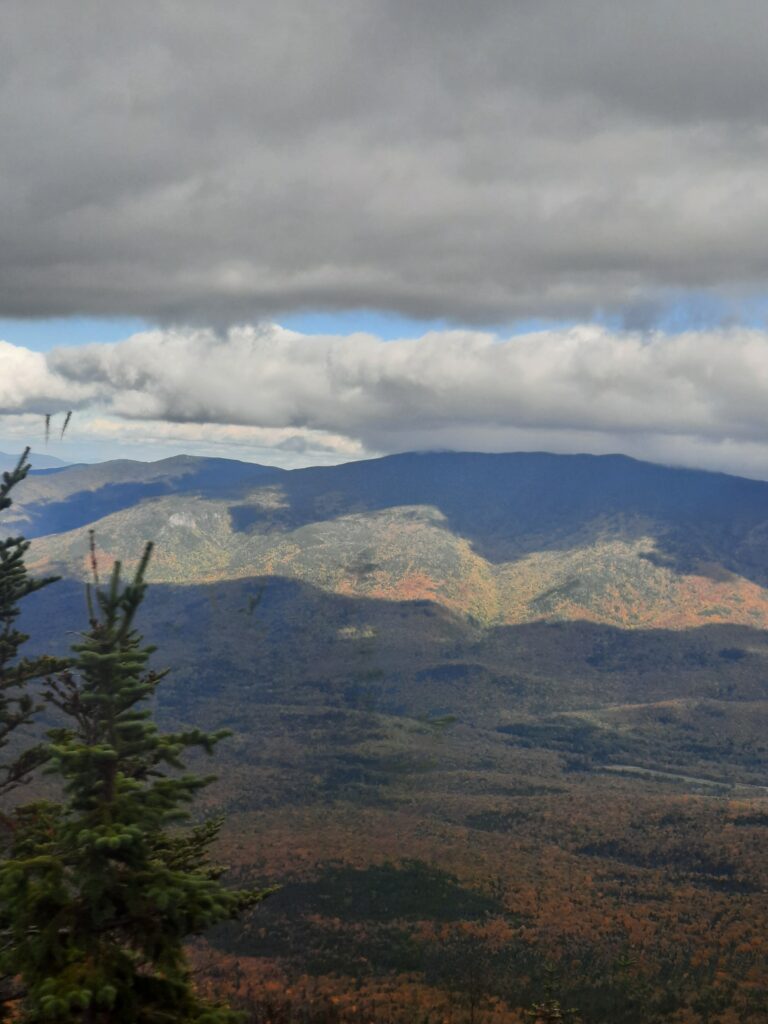
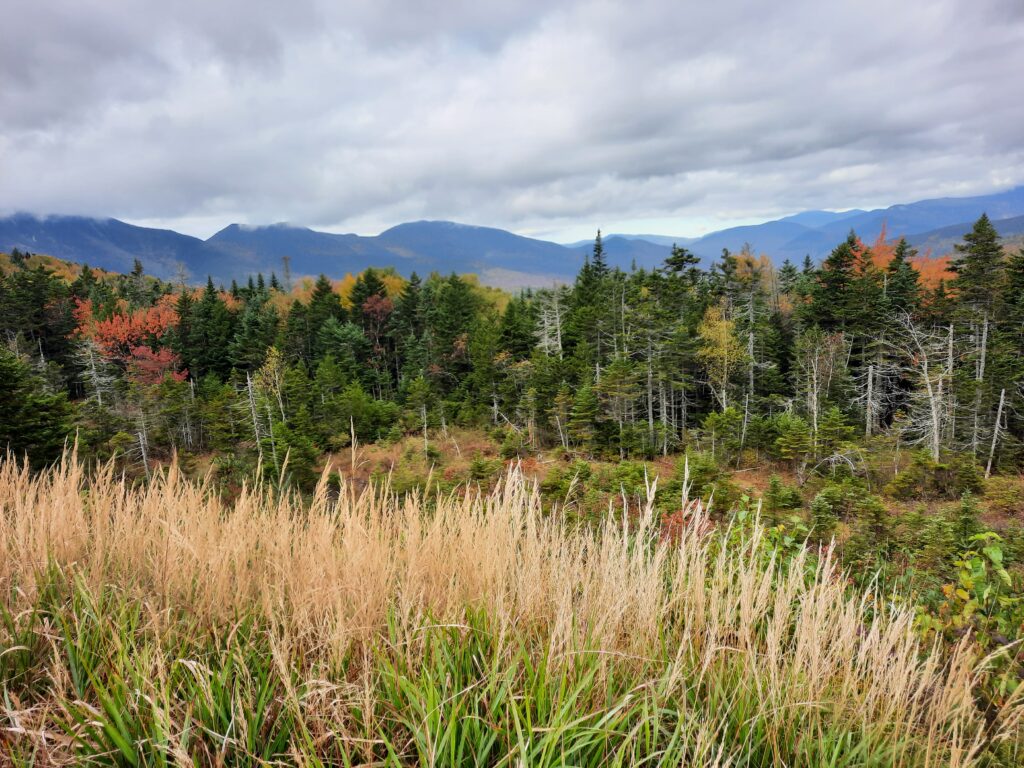
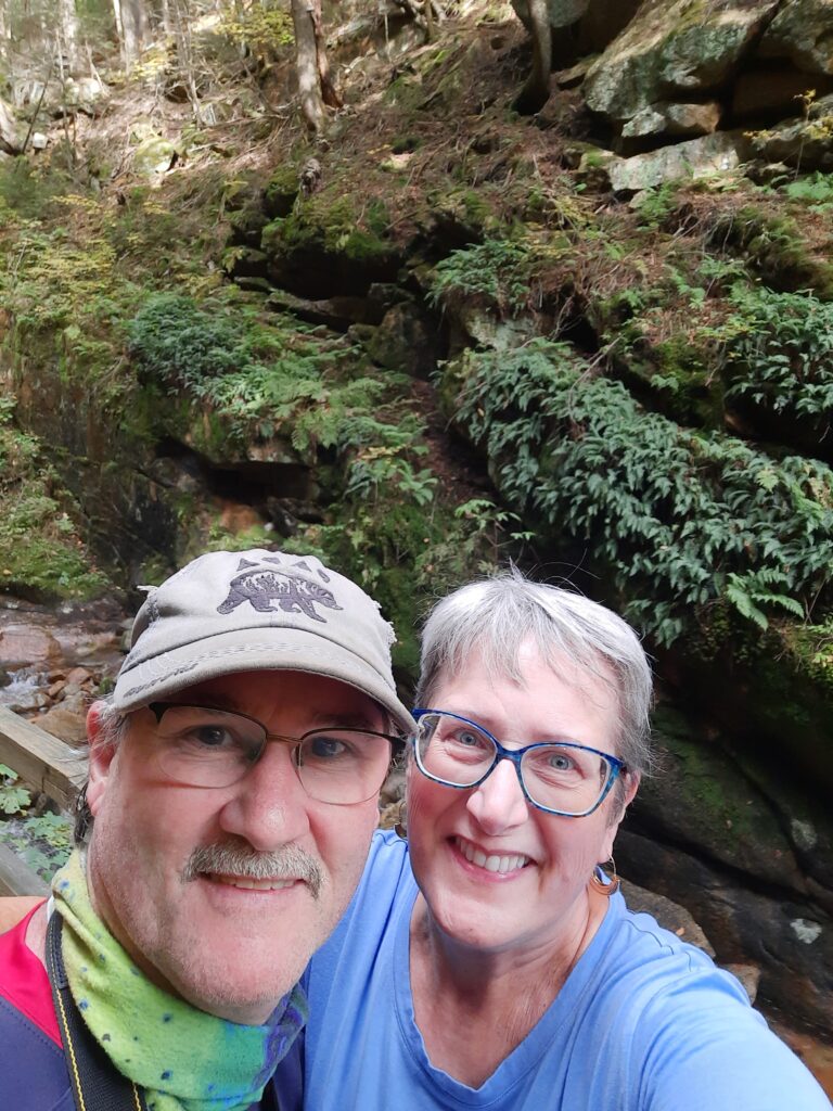
October in New England is always a special time of year. With its spectacular fall foliage, millions of visitors travel to this region to enjoy the brilliant colors of reds, oranges and golds that cover the mountain sides, stream valleys and farmlands. Photographers from all over the world travel here with hopes of capturing this stunning, seasonal experience-especially in Vermont, where the colors of Sugar Maples serve as beautiful backdrops to the towering steeples of town churches, historic covered bridges and rolling, green farm pastures. We were no different, in our search for some October glory! But in a quickly-planned, getaway trip, Theresa and I made a surprising, but wonderful discovery about this region for fall tourism-the rugged beauty of the White Mountains of New Hampshire!

Now, I would guess that most New Englanders know how beautiful the White Mountains are in the fall, but to most travelers, Vermont is usually their autumn destination. Why? I think it’s simply a better marketing and promotions campaign by the State of Vermont. But I bet most folks from New Hampshire are just fine with that, and have no problem with Vermont attracting the thousands of leaf peeping tourists each year! Sure, New Hampshire has its iconic tourist spots too, like Mt. Washington (more about this later), and the former Old Man of the Mountain landscape symbol, but like many other visitors from outside this area, our plans were centered around catching the fall foliage in Vermont, not so much New Hampshire. Boy we were wrong! It was only the fact that we couldn’t find lodging in our preferred location, the Northeast Kingdom of Vermont, and ended up staying in Franconia, NH, that we “stumbled upon” fantastic views of the brilliant autumn colors we were seeking! As it turned out, we were not disappointed in the least!

Our “base camp” was just outside Franconia Notch, a popular spot for thousands of hikers, and home to New Hampshire’s most famous natural landmark, The Old Man of the Mountain. This granite symbol is also called “Stone Face” by the Abenaki and is a symbol within their culture. It is also a symbol to the Mohawk people. 

The Old Man of the Mountain, before it collapsed in 2003.

The first written mention of the Old Man was in 1805. Everywhere you look in New Hampshire, you’ll see mention of this famous landmark. It’s featured on the New Hampshire license plate, road signs, and even the state quarter! Over the decades the stone formation began to deteriorate, and unfortunately, in the early morning hours of May 3, 2003, The Old Man of the Mountain collapsed leaving the residents of the Granite State to mourn its most iconic symbol. For hundreds of years, it overlooked Profile Lake from 1,200 feet above and was approximately 40 feet tall and 25 feet wide.

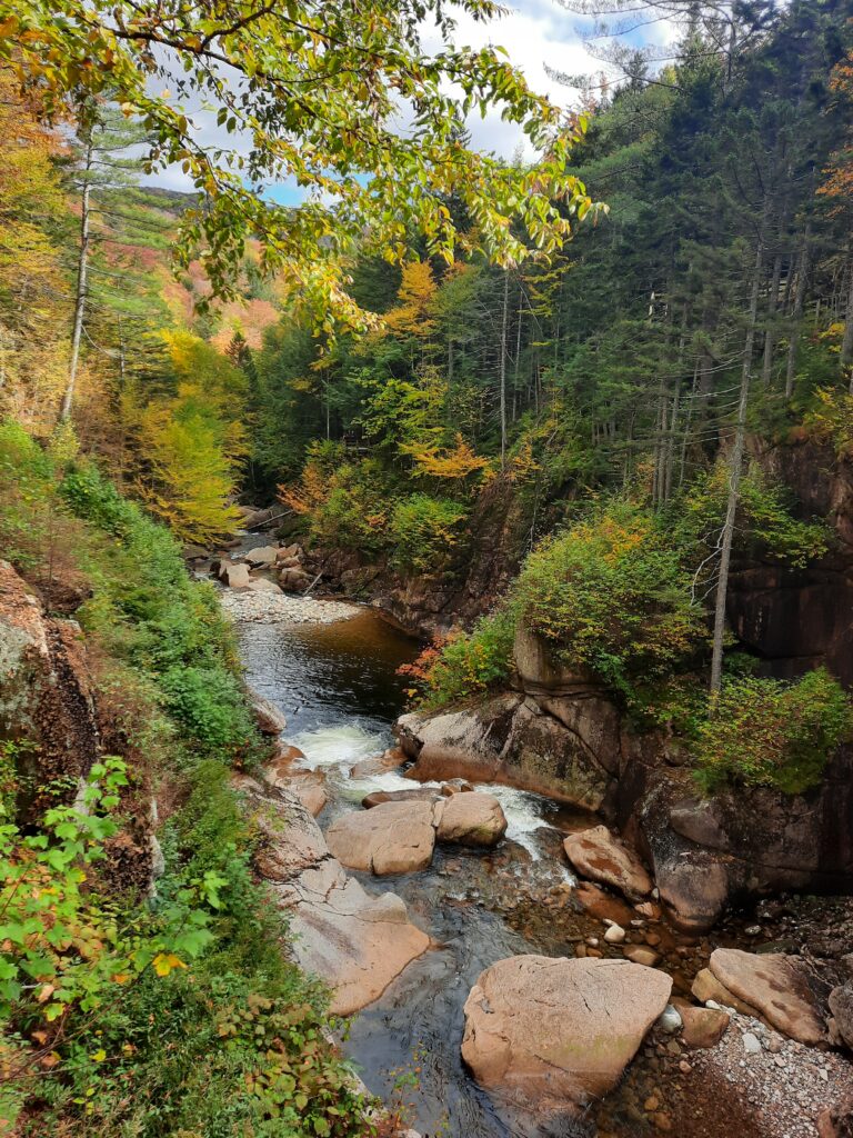
But it was here in Franconia Notch, and nearby Bear Notch, along with the Kancamagus Highway, that we spent most of our time enjoying the autumn shine of the White Mountains. Now, don’t get me wrong, we did wander around many areas of northern Vermont too, but it was a different kind of beauty. Differences in peak color timing aside, the choice between NH and VT is largely one of preference. NH offers arguably the more impressive mountain scenery, as the White Mountains are more prominent and rugged than the Green Mountains of Vermont. In fact, New Hampshire has 48 peaks that are 4,000′ or higher, compared to 5 peaks in Vermont.

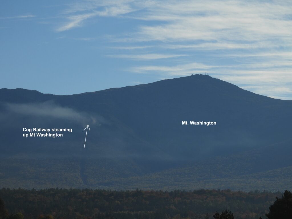
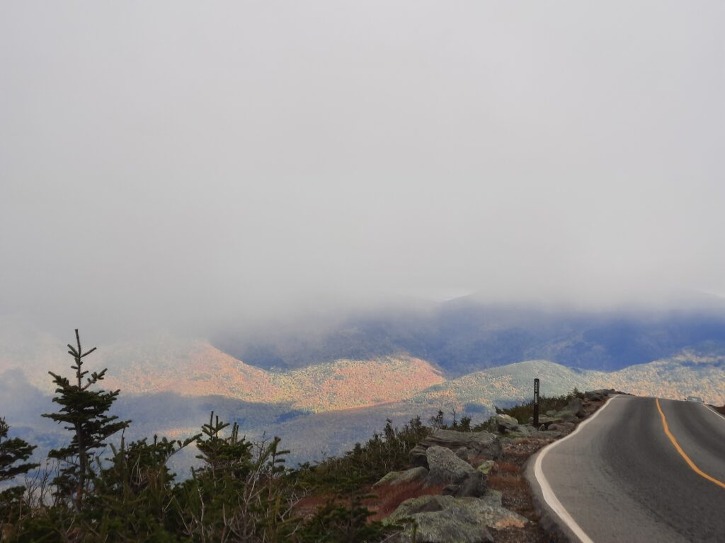
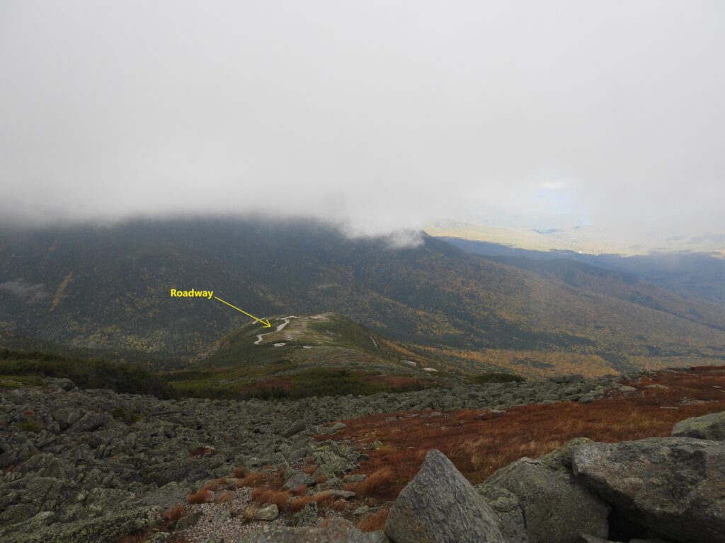
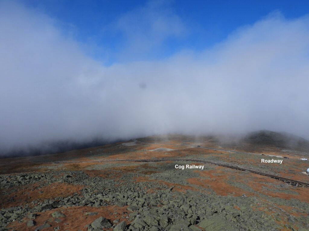
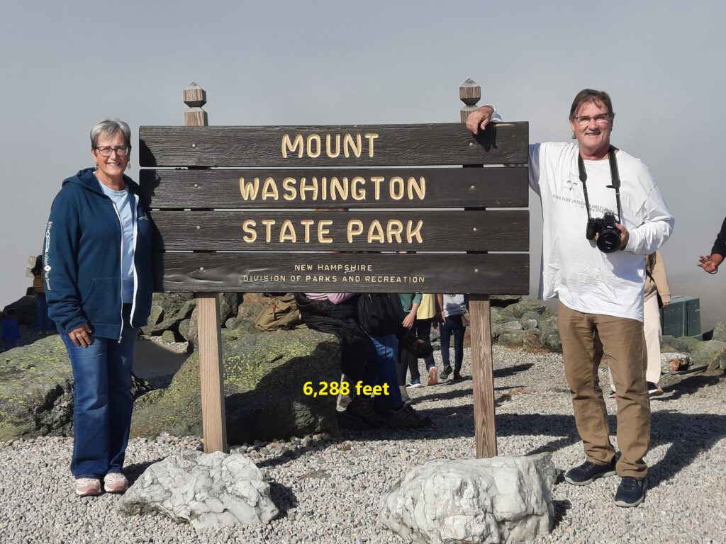
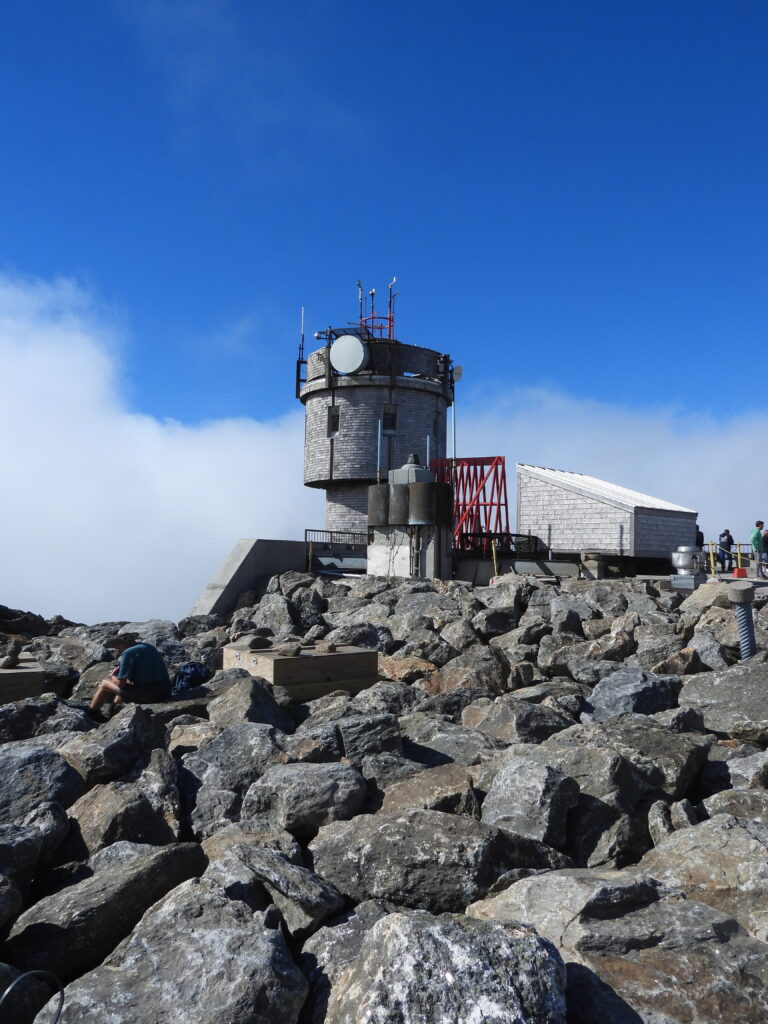
Probably the most visited site in New Hampshire is Mt. Washington, the tallest peak in the Northeast at 6,288′. On a clear day you can see Maine, Vermont, New York, Massachusetts, New Hampshire and Canada. There are basically three ways to get to the top of Mt. Washington State Park. You can hike, you can drive (7.6 miles) or you can hop on the historic, cog railway. About 280,000 people visit the summit each year. Mt. Washington is famous for having the most wicked weather on Earth. The mountain has a permanent weather station on its peak, called the Mount Washington Observatory. The observatory has been staffed continuously since 1932, with the exception of a brief evacuation in February 2004 due to a fire. The drive up the auto road can be a bit hairy, since the road is very narrow, with many sharp curves, lots of traffic going both ways and no guard rails along very steep dropoffs! I was really shocked how many vehicles were on the auto drive. I first visited this site with my dad in 1977….and I remember only seeing a few cars at the top. On this visit, the top of the mountain looked like a Walmart parking lot! Although I was a little disappointed with the crowds at the summit, it’s still pretty cool to stand at the top and look down at clouds below you!

ABOVE: (l to r): Mt Washington and the steam from the Cog Railway going up, from a distance. The historic Mt Washington Hotel and the white knuckle drive of the auto road.


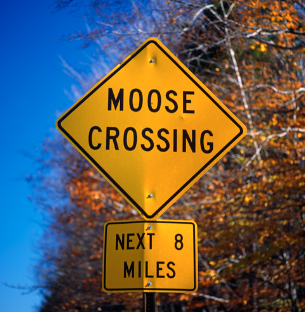
We also explored some of northern Vermont and visited the Silvio O. Conte National Wildlife Refuge, with hopes of finding a Moose. Unfortunately, the only “traces” of Moose were the many road signs warning drivers to slow down! But the refuge was really beautiful, with fall colors, a fantastic visitor center and still lots of wildlife to enjoy!

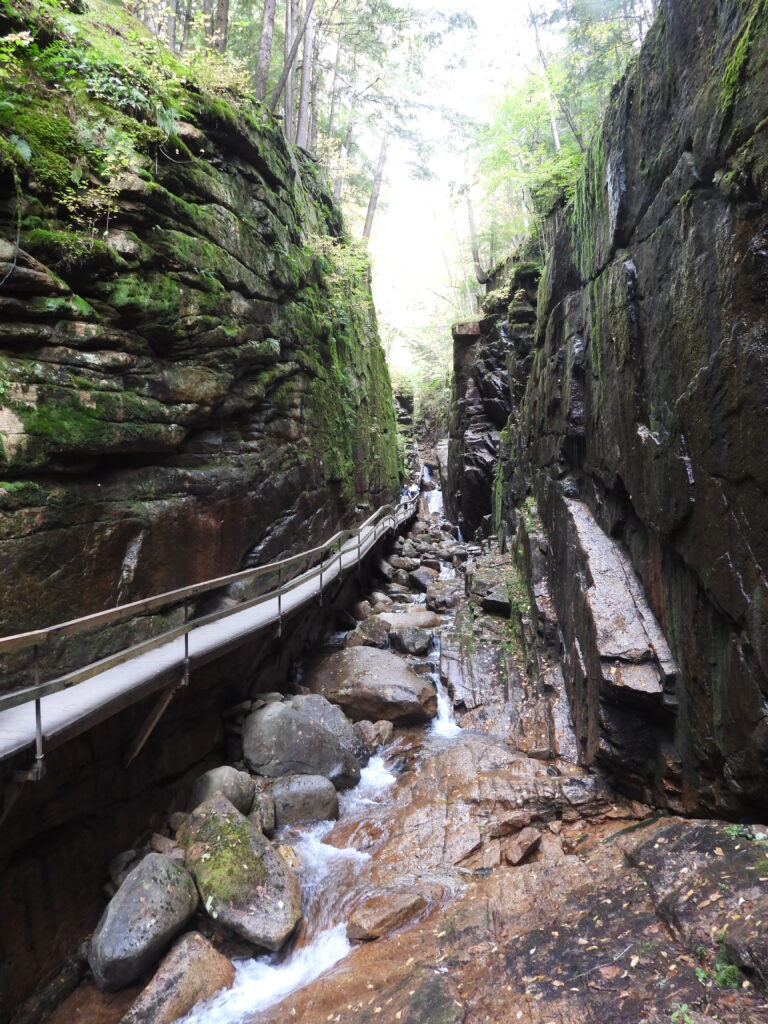
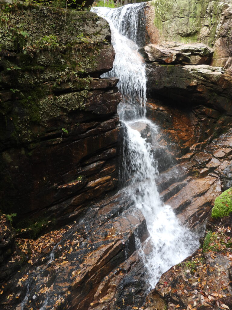
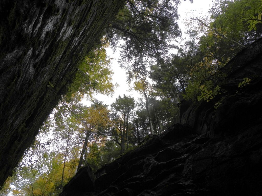
One of our favorite stops in NH was the Flume Gorge in Franconia Notch State Park. The Flume is a natural gorge extending 800 feet at the base of Mount Liberty. The walls of Conway granite rise to a height of 70 to 90 feet and are 12 to 20 feet apart. The Flume Trail is a 2-mile loop that takes you right through the towering walls and allows you up close looks at waterfalls, flowers, ferns and mosses.

BELOW: A few photos of the Flume Gorge of Franconia Notch State Park.

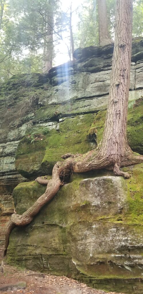
The roots of a birch and hemlock tree surround a large, granite boulder in the Flume Gorge.

Vermont’s scenery is perhaps more rustic and tranquil, with its plentiful red barns, covered bridges and green pastures. While foliage drives in NH usually involve forested routes, rugged mountains and occasional glimpses of lakes, drives in VT offer more consistent vistas over sweeping farmland and rolling hills. Each state has its own beauty and photographic landscapes, and it may not be a decision of which state to visit, but which region within the state to visit, and the timing of the colors. We really enjoyed both.

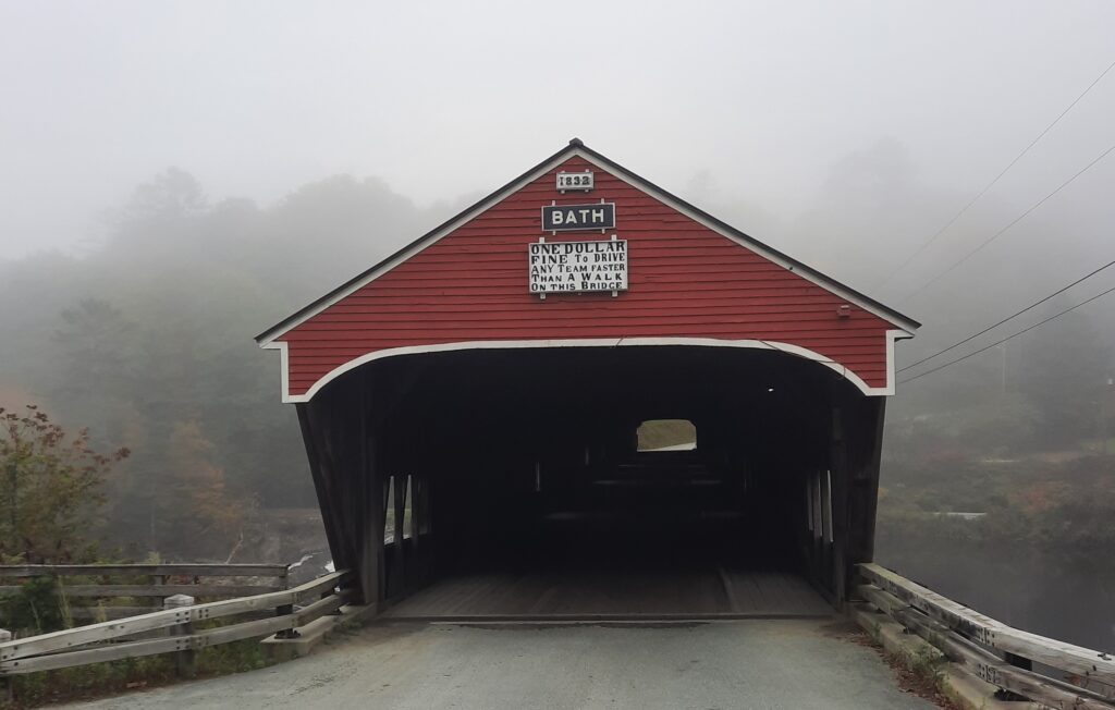
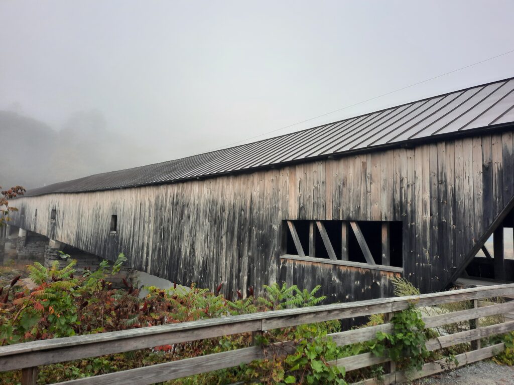
A few of the many, historic covered bridges of northern Vermont.

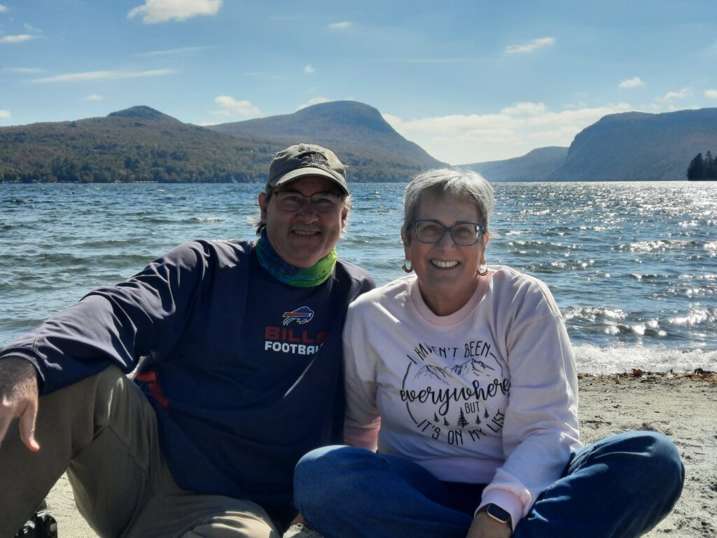
Sitting on the shore of Lake Willoughby in Northern Vermont

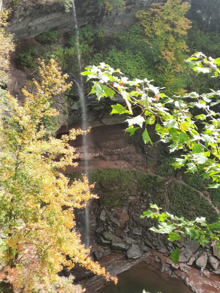
Our last stop on the way home was in the famous Catskill Mountains of New York. It was here, where Washington Irving wrote his iconic story of Rip Van Winkle, and also the setting where Patrick Swayze taught Jennifer Gray how to dance at one of the hundreds of Jewish Vacation Camps, in the hit film Dirty Dancing. But our quick detour destination was more natural-Kaaterskill Falls, the highest cascading waterfalls in New York State at 260′. Although the dropoff was pretty spectacular, it was a little underwhelming due to the lack of water from their ongoing drought, but still worth the beautiful drive through the Catskills!

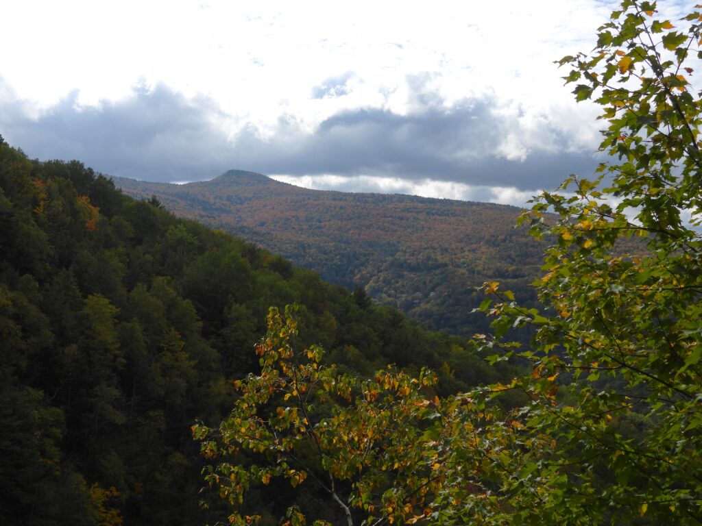
BELOW: Kaaterskills High Peak (l) shows some fall colors, while water cascades over Kaaterskill Falls (r)in the Catskill Mountains of New York.

It was a quick, but fun, autumn trip that led us through several different ranges of the Appalachian Mountains. As we left our home in the Blue Ridge Mountains of Virginia, we cut through the western section of the Poconos of Pennsylvania, passed through the southern Adirondacks of New York, enjoyed spectacular fall colors in the White Mountains of New Hampshire and searched for Moose in the Green Mountains of Vermont. On our return route, we saw the beauty of the Berkshires of Massachusetts and discovered waterfalls in the Catskills of New York. Our 1900-mile journey provided us plenty of beautiful fall foliage, awesome mounatin scenery filled with gorges and waterfalls, great local food and just enough time to explore a little bit of the Greens and the Whites! We can’t wait to return!

To the Adirondacks, and beyond!

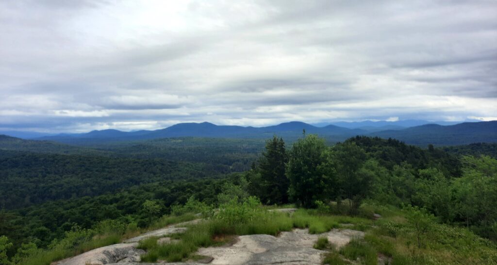
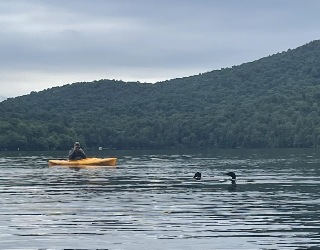
The Adirondacks of northern New York State hold a special place in my heart. A place where Pa and I paddled for miles and miles with binoculars hanging on our necks, and fishing rods in our hands. Pa and I would spend days canoeing, birding and fishing this area when I was younger, camping along the way and creating memories that have lasted my lifetime.  A beautiful wilderness with mountain peaks that dot the horizon every direction you look, and pristine lakes that echo the eerie calls of loons from shoreline to shoreline. Our family also vacationed here several times during the summer, each time on a new and different lake. It’s also the reason I wanted to share a little of this northern lake country magic with my family, as we decided to vacation here together to relax, and explore the region. The Adirondacks were calling me home!

Adirondack Park is the largest park in the mainland United States with more than 6 million acres – about the same size as the state of Vermont. The park features more than 3,000 lakes and ponds and 30,000 miles of brooks and streams. The park contains 85% of all wildernesses in the Eastern United States. It has the largest trail system in the U.S. with more than 2,000 miles of hiking trails. Two thousand mountains are in the park, 100 of them are more than 3,000 feet high. For anyone who enjoys the outdoors, it’s a fantastic region to spend some time in.

The High Peaks of the Adirondacks

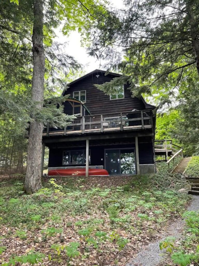
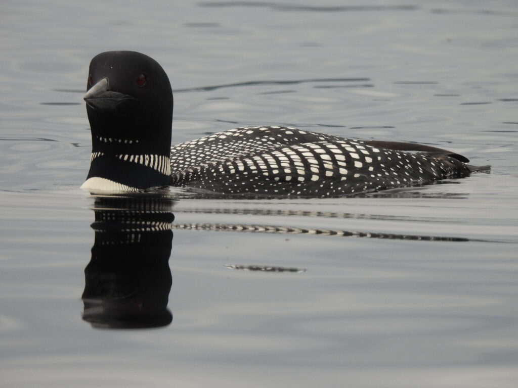
Our destination was Cranberry Lake, the 3rd largest lake in the Adirondacks, on the western border of the park. Although the lake is large (nearly 7,000 acres), it sits directly adjacent to almost 50,000 acres of wilderness, with over 50 miles of hiking trails. There are no big crowds of people here (yet), like there are at some of the other popular Adirondack hotspots, such as Lake George, Saranac Lake, Blue Mountain Lake, Old Forge or Long Lake. The lake shore isn’t overly developed with million-dollar mansions and speed boats that zoom up and down the lake all day long. We wanted something a bit more laid back and quiet on our vacation, less hectic, where we could enjoy sunrises each morning, take a quiet paddle on a lake, do a little fishing, and take some day trips to explore the region. And of course, selfishly, I wanted the chance to once again hear that lonely call of Common Loons that I heard when I was a boy! As a family, we found it at Cranberry Lake in the Adirondacks.

During our week in the rented lake house, we peacefully sat on the dock with our coffee each morning gazing at the early morning sunrises, and how the sky seemed to glow then quickly fade in shades of pink, purple and orange, as loons and Barred Owls called in the distance. We held daily fishing contests from the dock, and leisurely paddled kayaks (that the house graciously provided) into a quiet, hidden cove to see a beaver lodge.

Lake Life

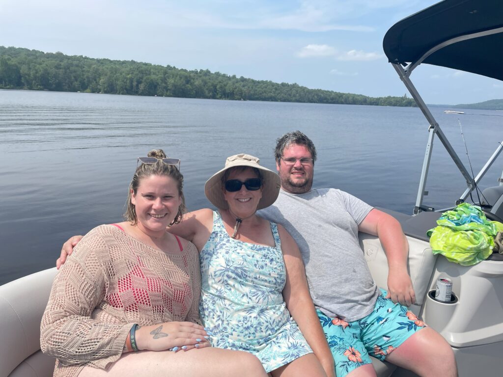
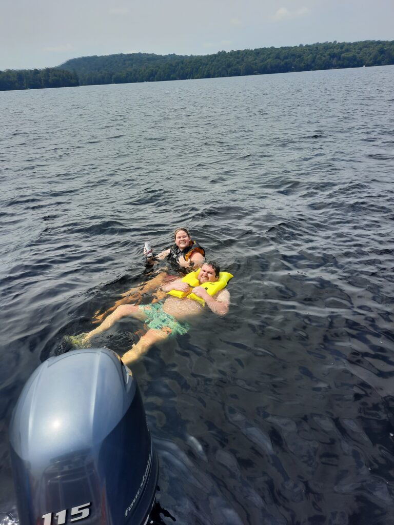
We enjoyed smores at our lake side campfire, and had a blast when my sister Cathy and her husband Dave visited for a couple days, as we rented a pontoon boat that was perfectly set-up for tubing, swimming and exploring the lake. It was a super fun play day, and so happy they could join us!

Play Day with the Pontoon Boat

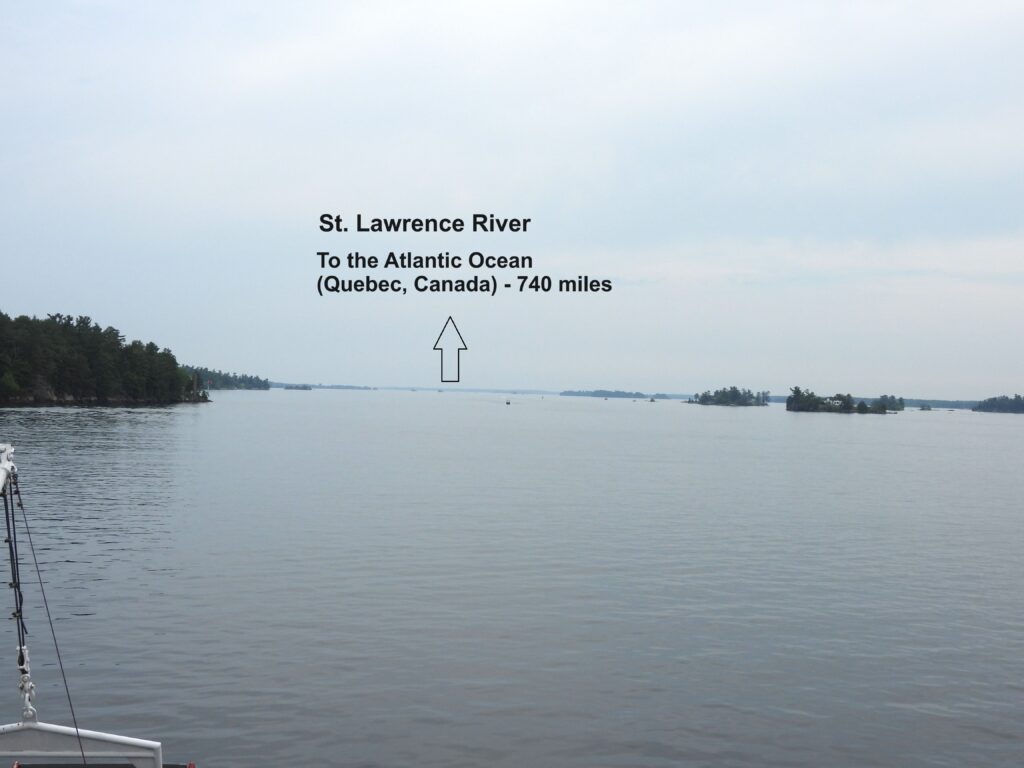
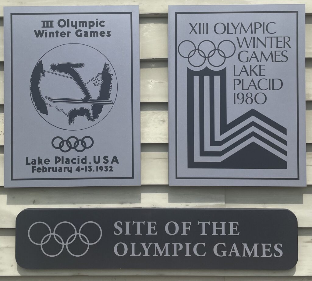
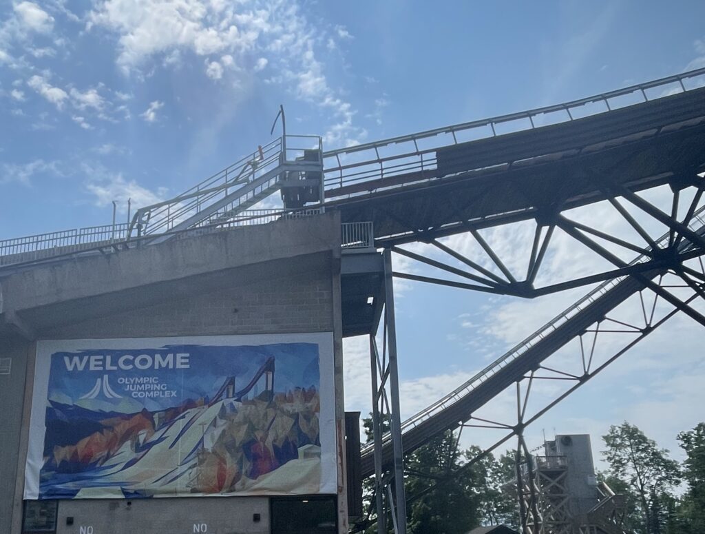
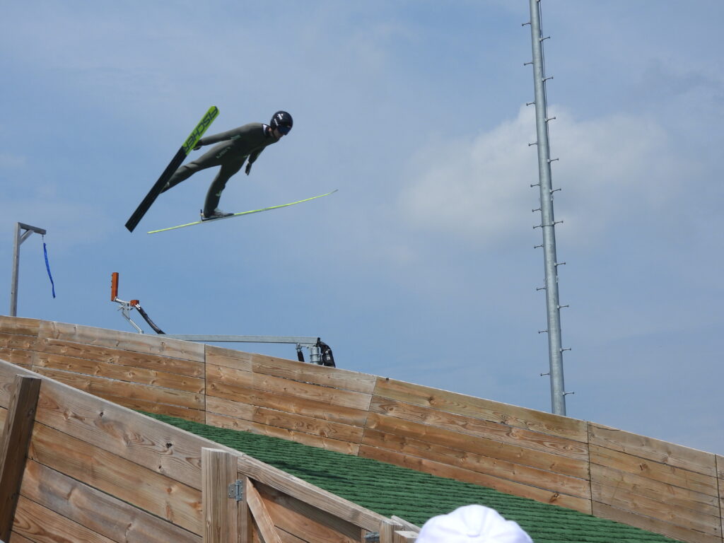
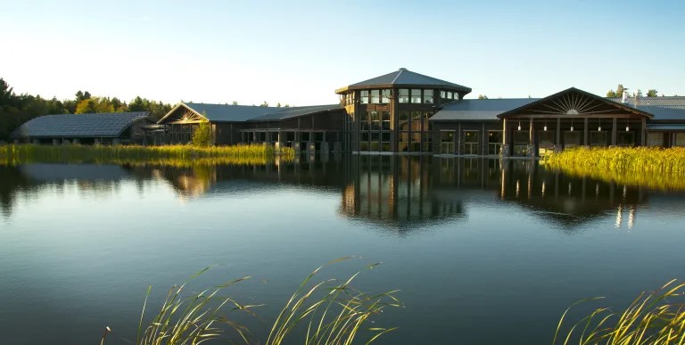
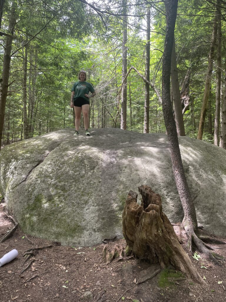
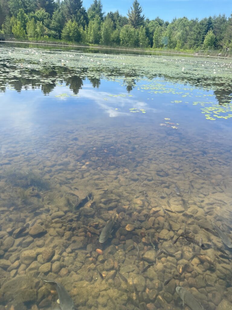
We also wanted to wander, and explore the area on some day trips. We discovered some local hiking trails, took a trip north to Alexandria Bay and the 1000 Islands, and stepped back into “Olympic Times” and visited Lake Placid, where we watched hopeful ski jumpers practice their daring flights down the steep jumps. We enjoyed nature and learning about the local culture at The Wild Center, and  took a walk past the raging waters of High Falls Gorge, and the Ausable River. We gave ourselves enough adventures to settle in each evening with some fine wine and cold beer!

1000 Islands Boat Tour and wineries

Lake Placid

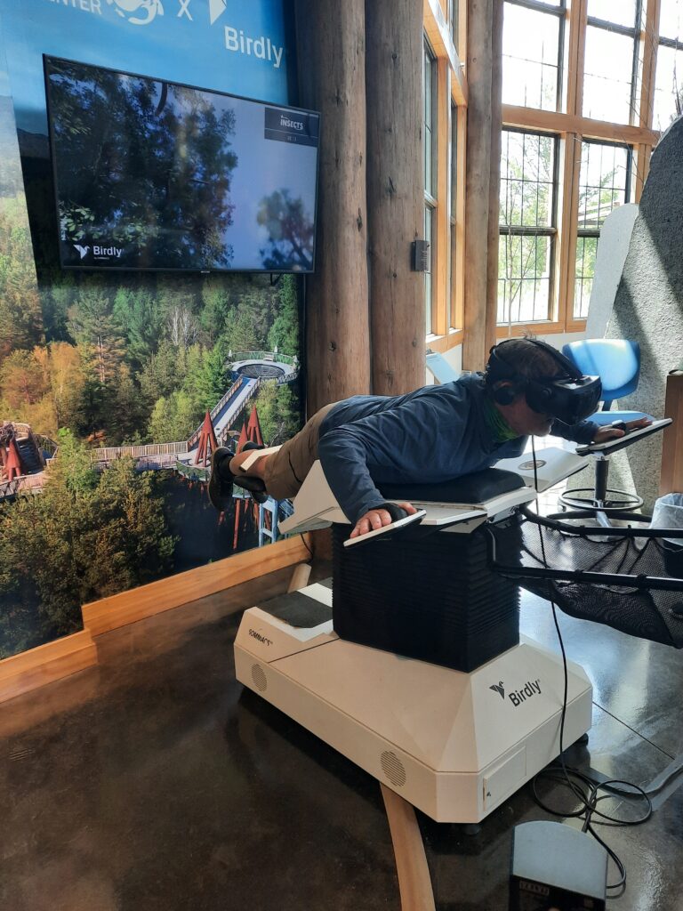
The Wild Center-Tupper Lake

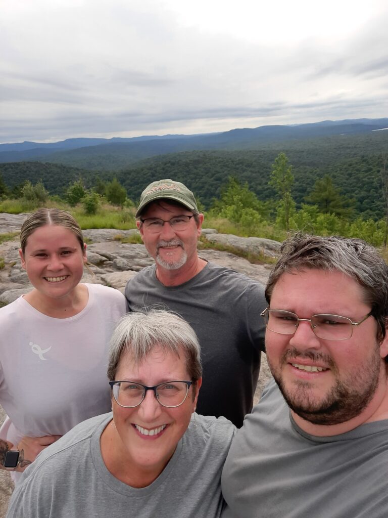
Coney Mountain Hike

It was just the kind of family vacation I had hoped for, with flashbacks of my visits as a child with Pa, to creating many new memories for all of us! The Adirondacks quickly grow on you! We’ll definitely be back!

Farewell Adirondacks….we’ll be back!

A Great Tour

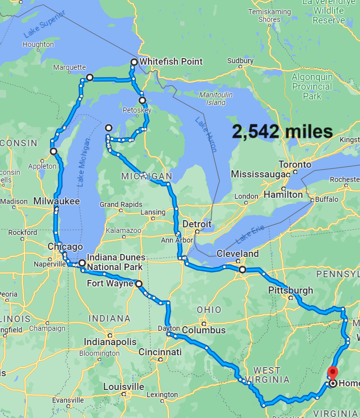
The legend lives on from the Chippewa on down, Of the big lake they called Gitche Gumee.” These lyrics from Gordon Lightfoot’s 1976 hit song The Wreck of the Edmund Fitzgerald echoed across the water of Lake Superior during our travels through the Upper Peninsula of Michigan. It was late September in northern Michigan and Theresa and I were celebrating with an early 35th Anniversary trip. We chose to visit the big three, the greatest of the Great Lakes-Michigan, Superior and Huron. Our plan was to see them by land-on shore, and by water-off shore. We wanted to climb their impressive sand dunes, wander through their surrounding forests, and explore some of their famous waterfalls. Let the tour begin!

The Great Lake Trip Route
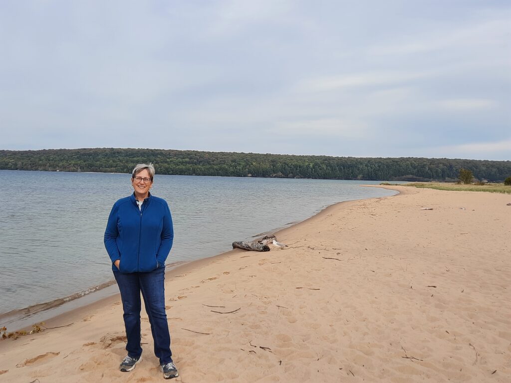
Theresa poses at Sand Point Beach, along South Bay of Lake Superior
Fall foliage in the UP was just about at its peak.

Theresa had never visited this area, and it’s been 40+ years since I had travelled through here. Our route included 8 states, 3 Great Lakes, 2 National Parks, 2 National Lakeshores, and a handful of state parks, that included picturesque landscapes and rich history! Most of our time was spent with the “Yoopers” of Michigan, and discovering the secrets and beauty of the big lake the Ojibwe’s called “Gichigami” (large body of water)-Lake Superior.

Me and the big guy enjoying a local favorite-a Pastie!
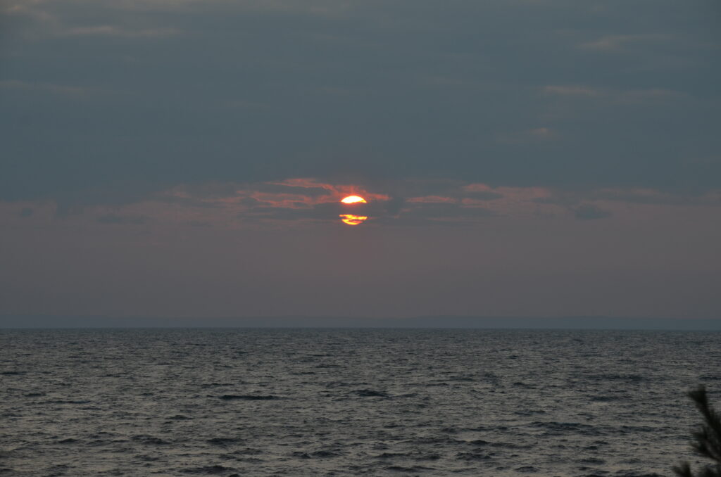
Sunrise over Lake Superior

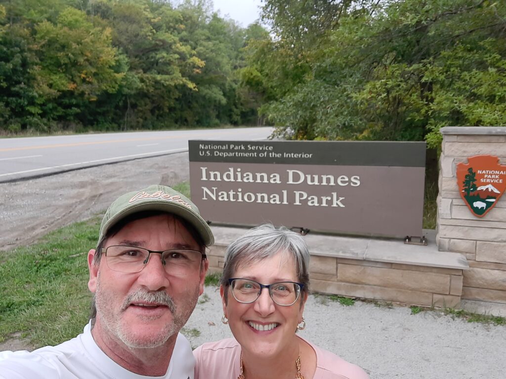
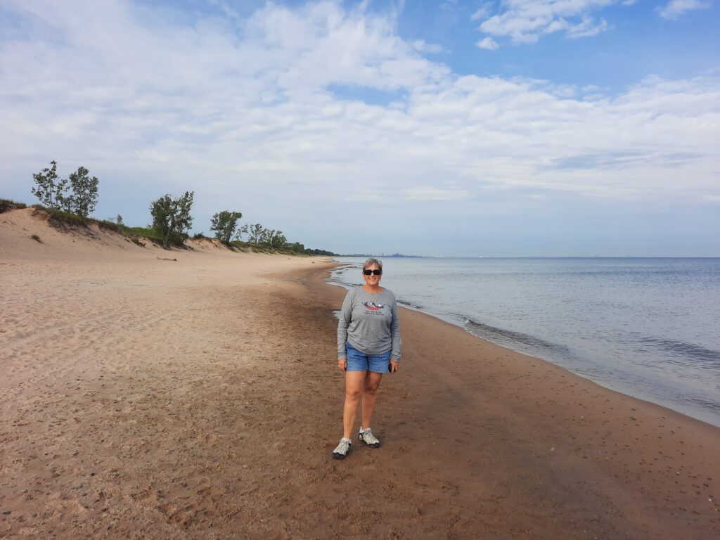
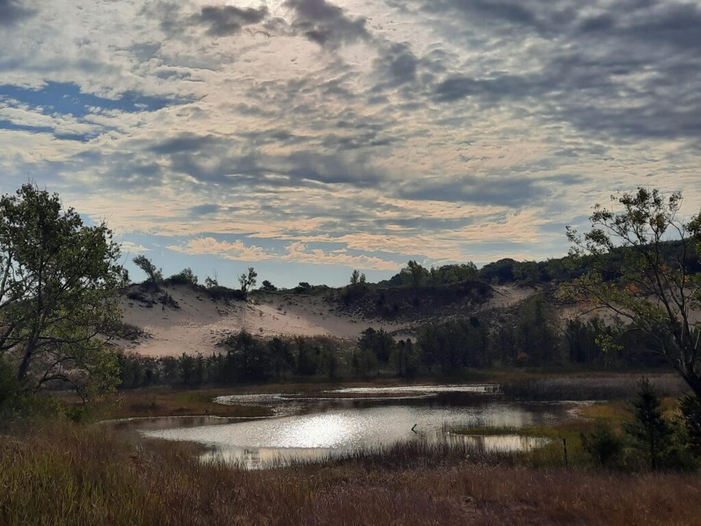
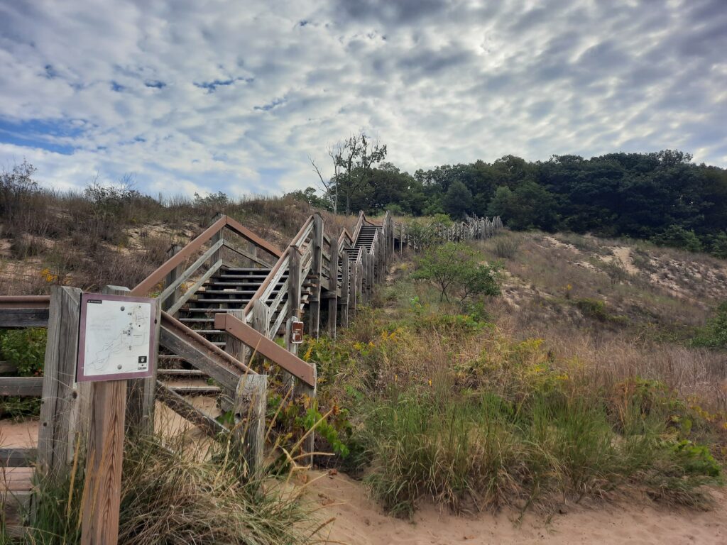
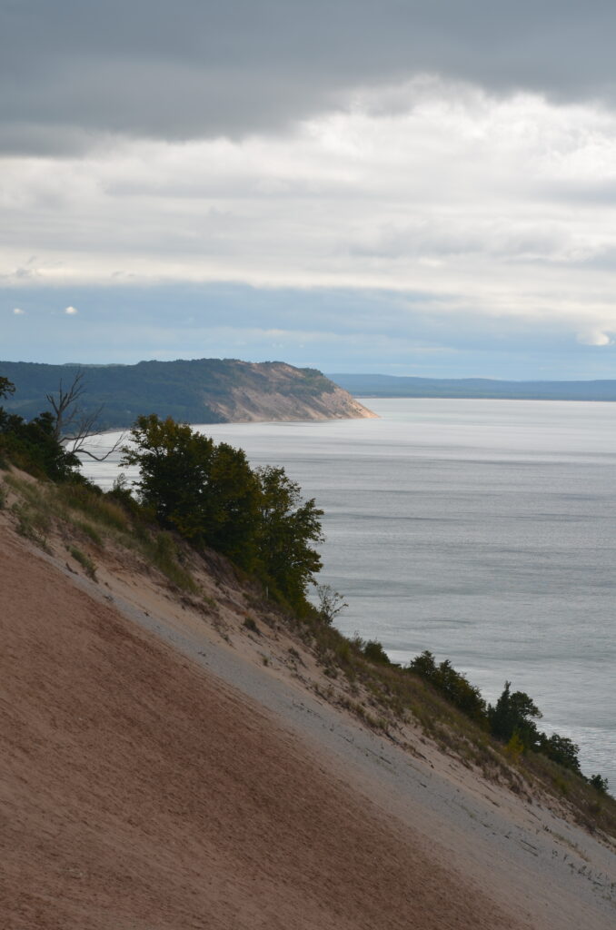
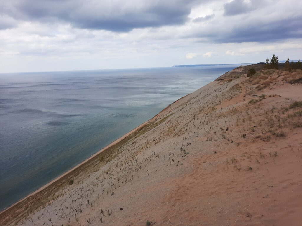
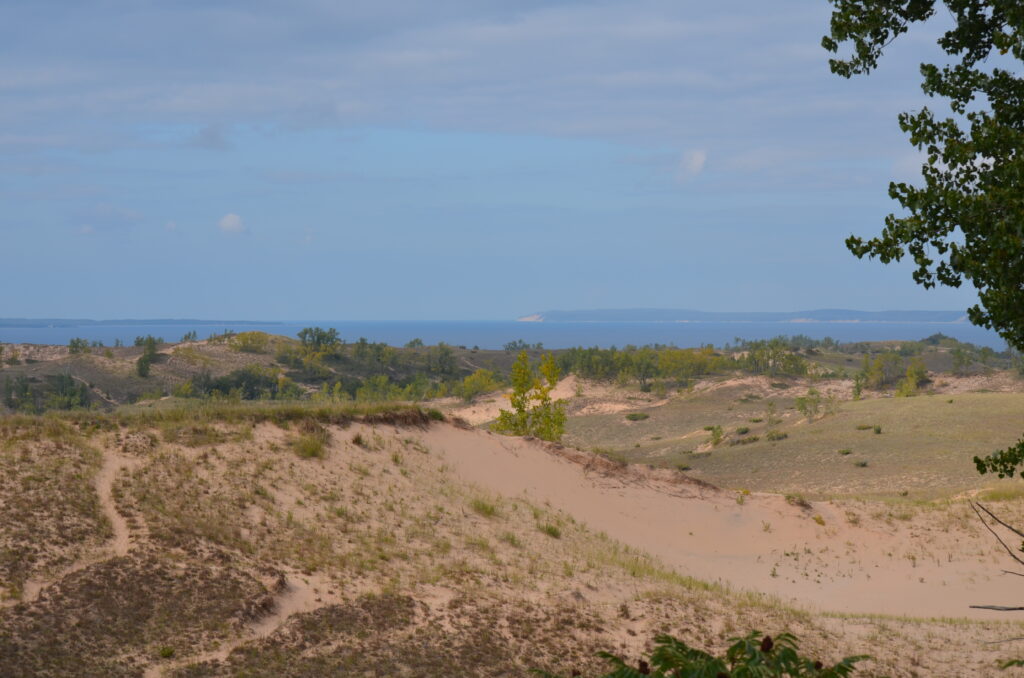
Two of our scheduled stops included some of the most remarkable sand dunes in the Great Lakes region. They were Indiana Dunes National Park, just east of Chicago, and Sleeping Bear Dunes National Lakeshore, about 4 ½ hours north. Both are located on Lake Michigan’s eastern shore, in the Lower Peninsula. The dunes are a unique, fragile ecosystem, always changing with wind and weather. They were formed when the underlying sandstone geology was broken down from glaciers, and wave action from Lake Michigan deposited (and still does) sand on the adjacent shorelines. In some areas, the dunes remain bare sand, while in many other areas vegetation now covers the massive sandy bluffs.

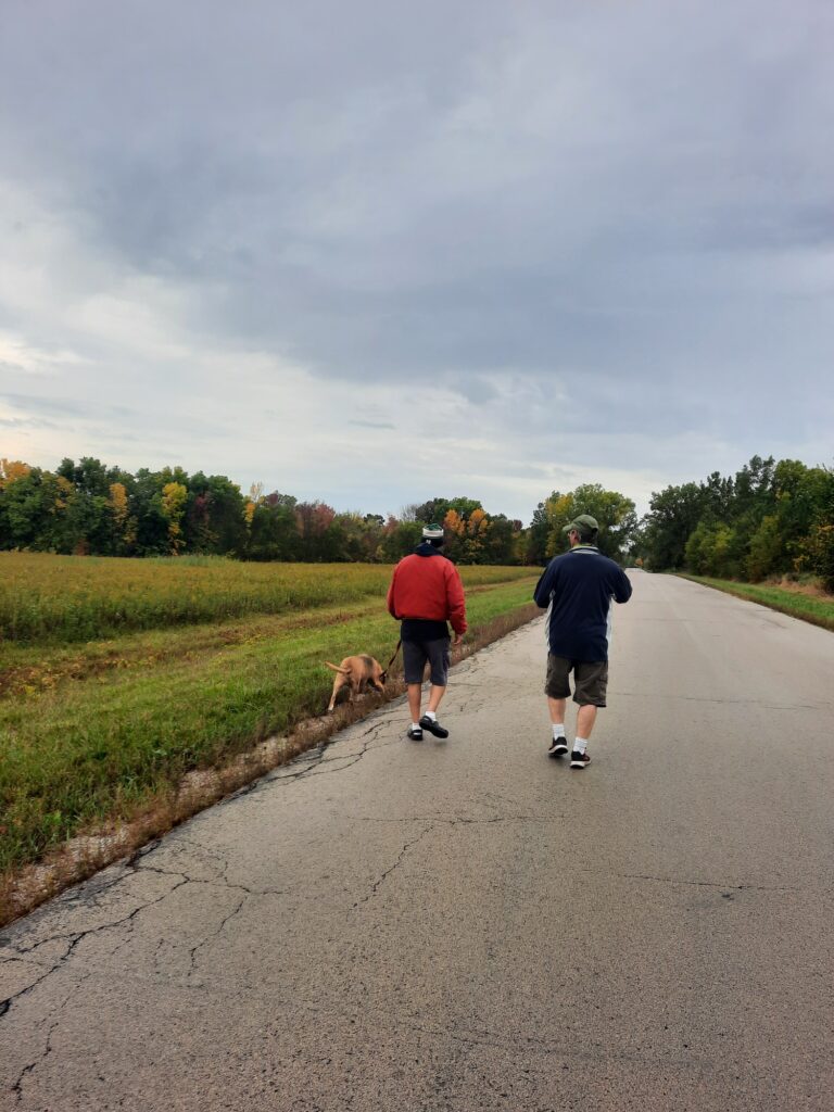
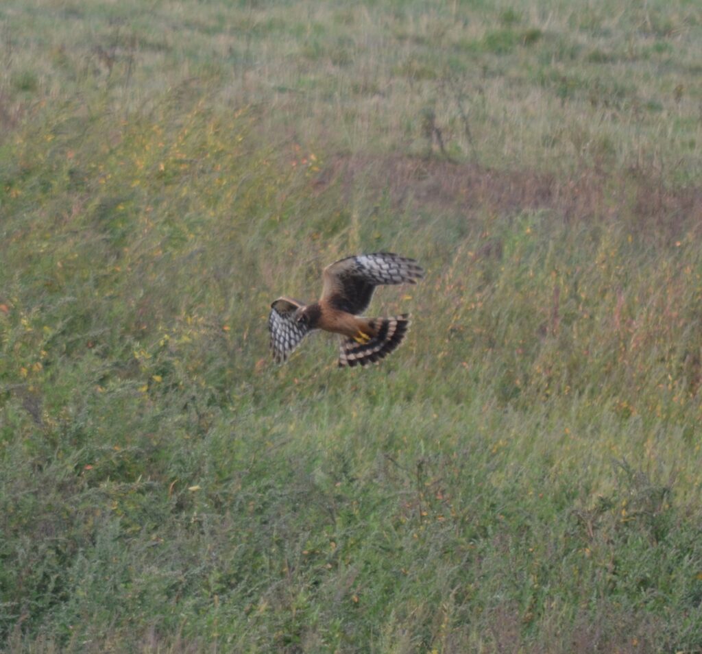
We also had time to slow down for a few days and visit my buddy Steve (Cheezer) near Green Bay, WI. Steve lives on a beautiful piece of property within the Oneida Indian Reservation, and was employed by them for 25 years. He played tour guide for us in the Green Bay area, showing us some of the local sights such as a cool County Park Preserve, the restored waterfront of Voyageur Park in De Pere, and a few of his past natural resource restoration projects on tribal lands. He can proud of the work he managed. While we standing there looking out over the fields from a great viewing pavilion, we saw lots of birds, including a stop where raptors were flying all around us, including 3 Bald Eagles, a couple  Red-tails and a Northern Harrier. We capped off our day with a stop at a local Apple Festival where we picked some apples so Theresa could make him some homemade pies…which he was eagerly awaiting! It was a great visit, and long overdue! We’ll be back soon!

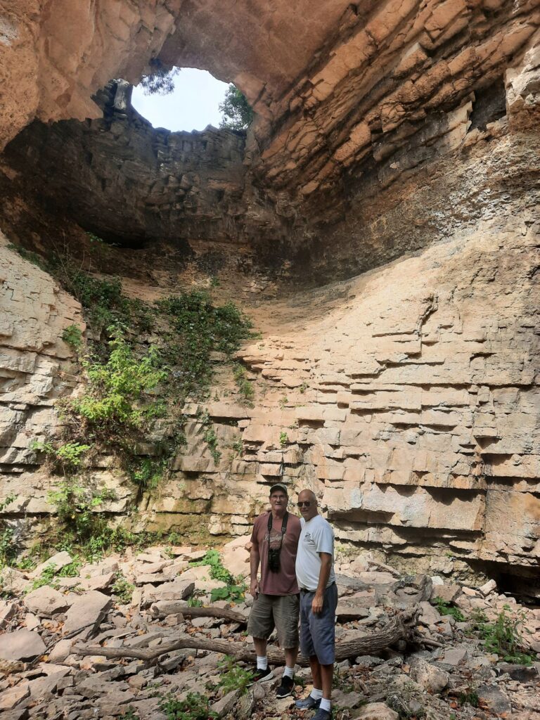
Cheezer and I pausing in Fonferek’s Glen County Preserve
Sandhill Cranes lounging in Cheezer’s backyard

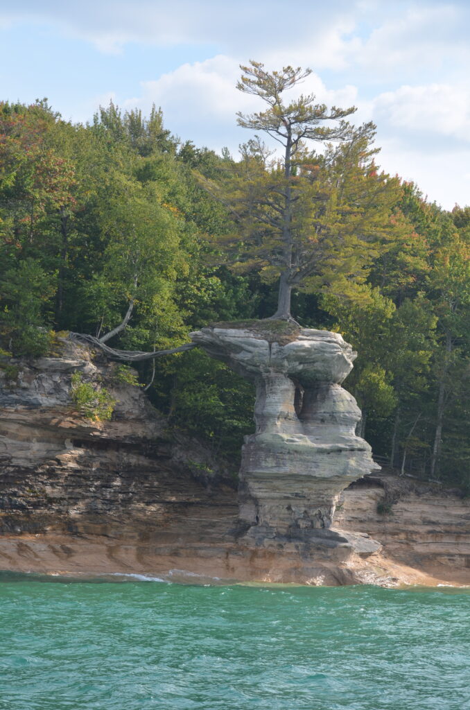
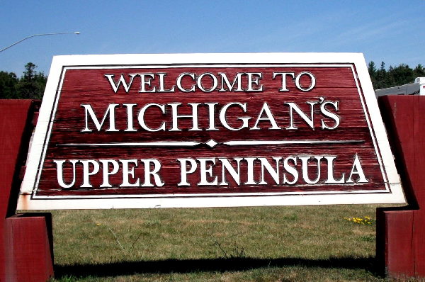
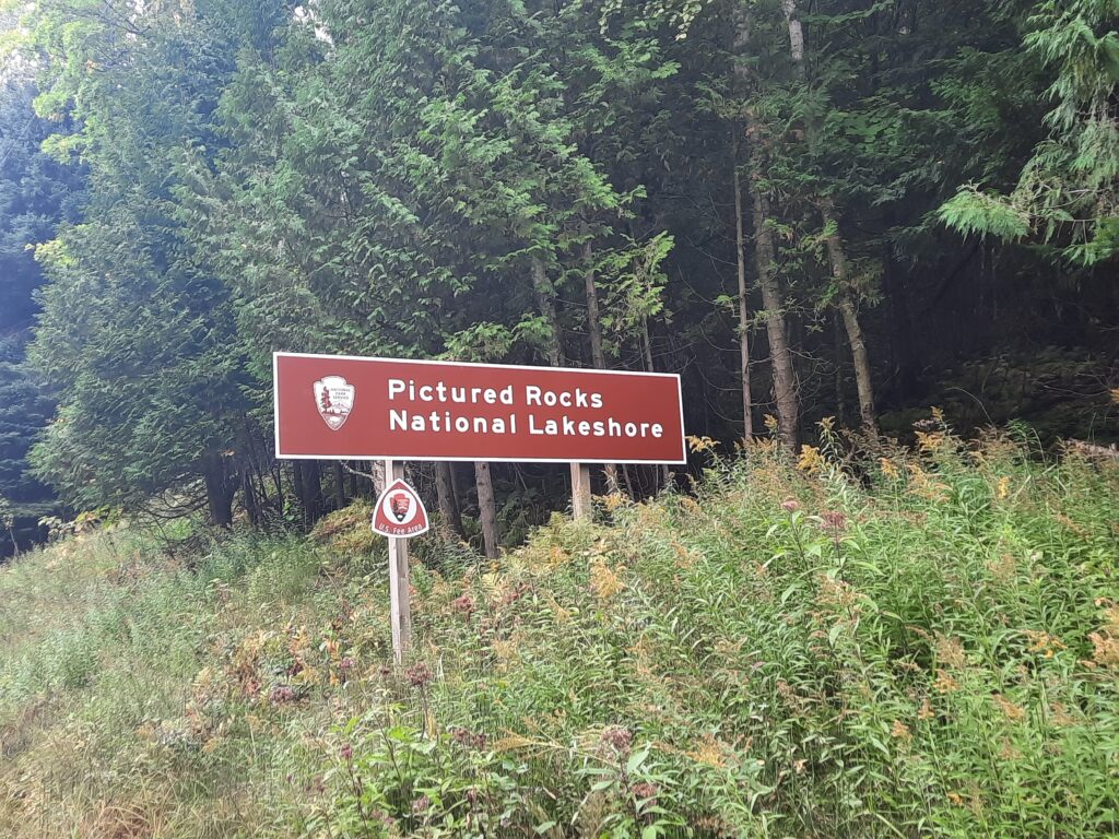
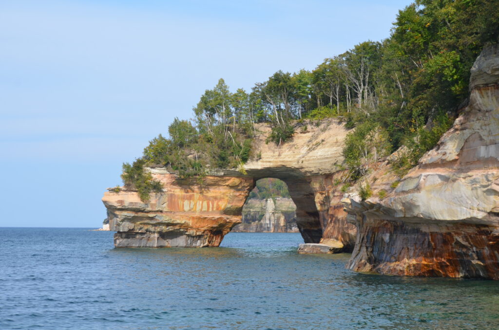
The main focus of our trip was to spend a few days exploring the Upper Peninsula of Michigan. This is a remote, scenic area, so different than the developed, congested region of most of the Lower Peninsula. The residents of the UP (Upper Peninsula) refer to themselves as “Yoopers.” The area is covered by large tracts of National/State Forests and is bordered along its entire northern boundary by Lake Superior, from the border of Minnesota, east, to its connection with Lake Huron in Sault St Marie. One of the most popular attractions here is Pictured Rocks National Lakeshore.

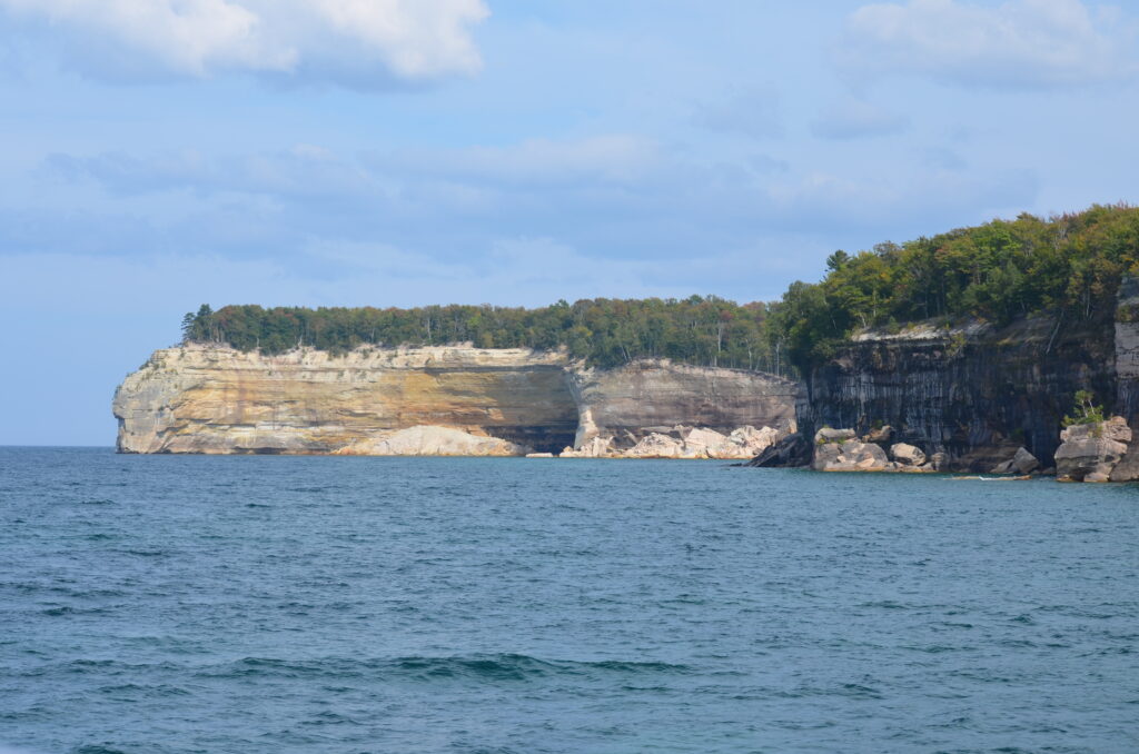
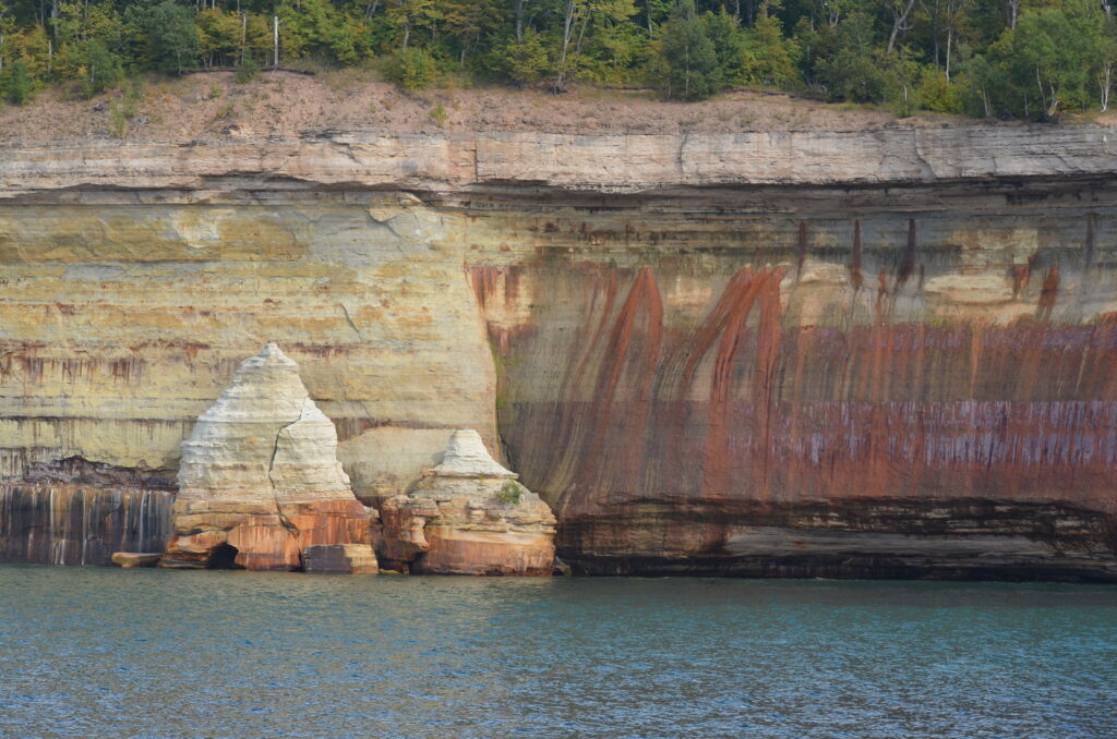
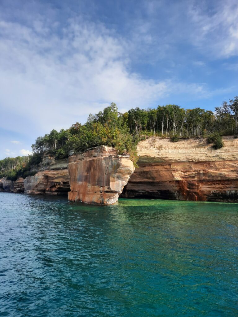
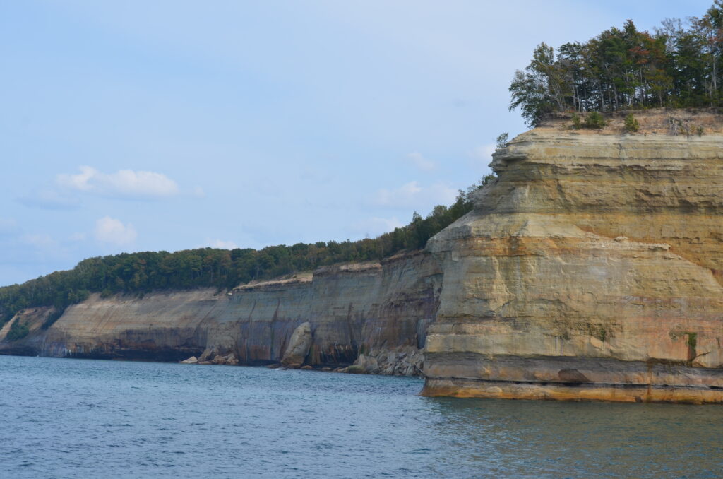
Massive, brightly-colored sandstone bluffs that have eroded and broken off over thousands of years forming dramatic landscapes that can only be seen from offshore. The unique colors are from the many minerals found in the sandstone. The best way, and in most locations, the only way, to view them is by boat, looking back at them. They’re truly majestic looking, and stretch for over 40 miles along the northern shore. The guided boat trip through the cold, clear waters of Lake Superior was terrific, and we won’t forget it!

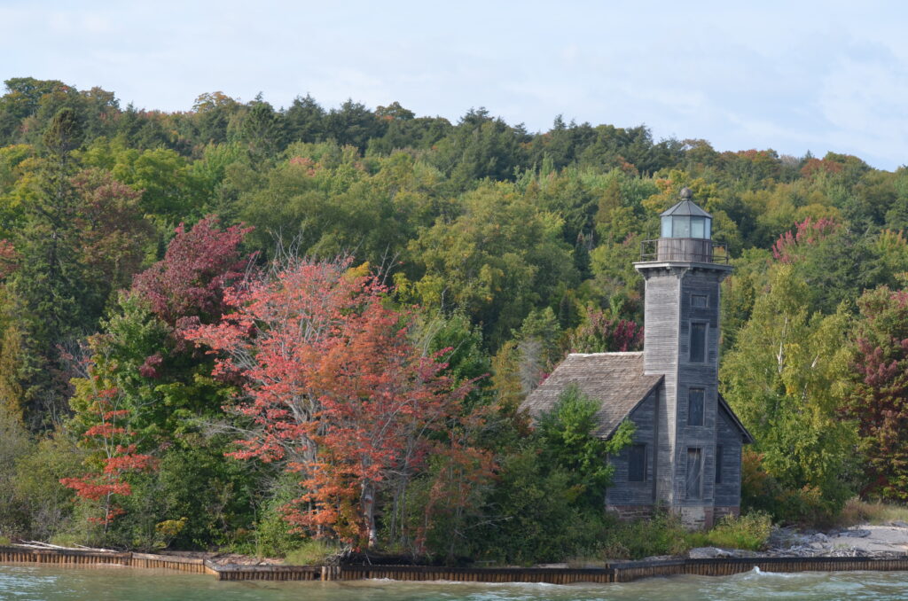
The East Channel Lighthouse along South Bay, in Lake Superior

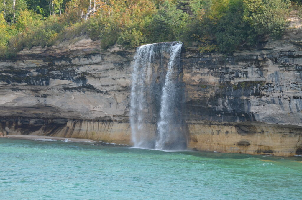
Picture Rocks National Lakeshore is also home to dozens of small waterfalls, found on almost every stream/river that flows into Lake Superior. We visited about 4 different ones, but within an hour’s drive, there’s another 15 that you can check out. With the fall colors, it was a great time to see them.

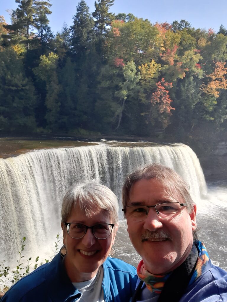
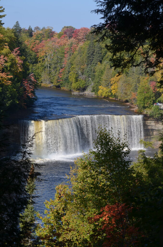
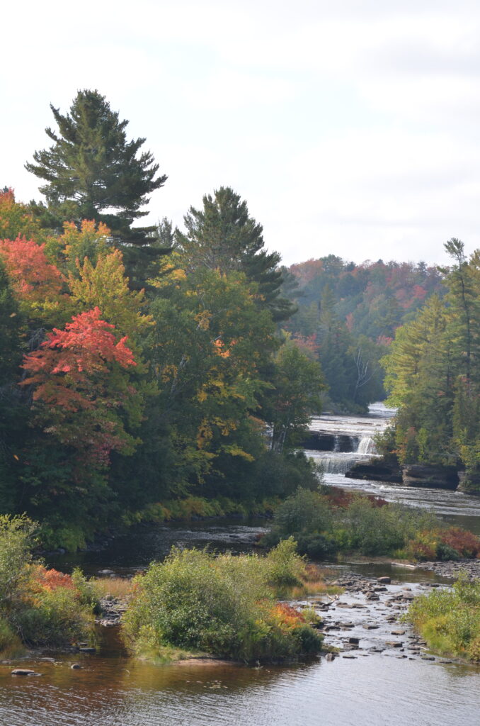
After putting Picture Rocks NL in the rearview mirror, we pushed east, stopping at the beautiful Tahquamenon Falls State Park, which has one of the largest waterfalls east of the Mississippi River. The Upper Falls is over 200 feet wide with a drop of 50 feet. The Lower Falls is actually a series of five smaller falls cascading around an island. The scenery was fantastic, with the autumn colors bordering the Tahquamenon River. If you venture up this way, don’t pass up this spectacular state park!

A selfie in front of the Upper Falls

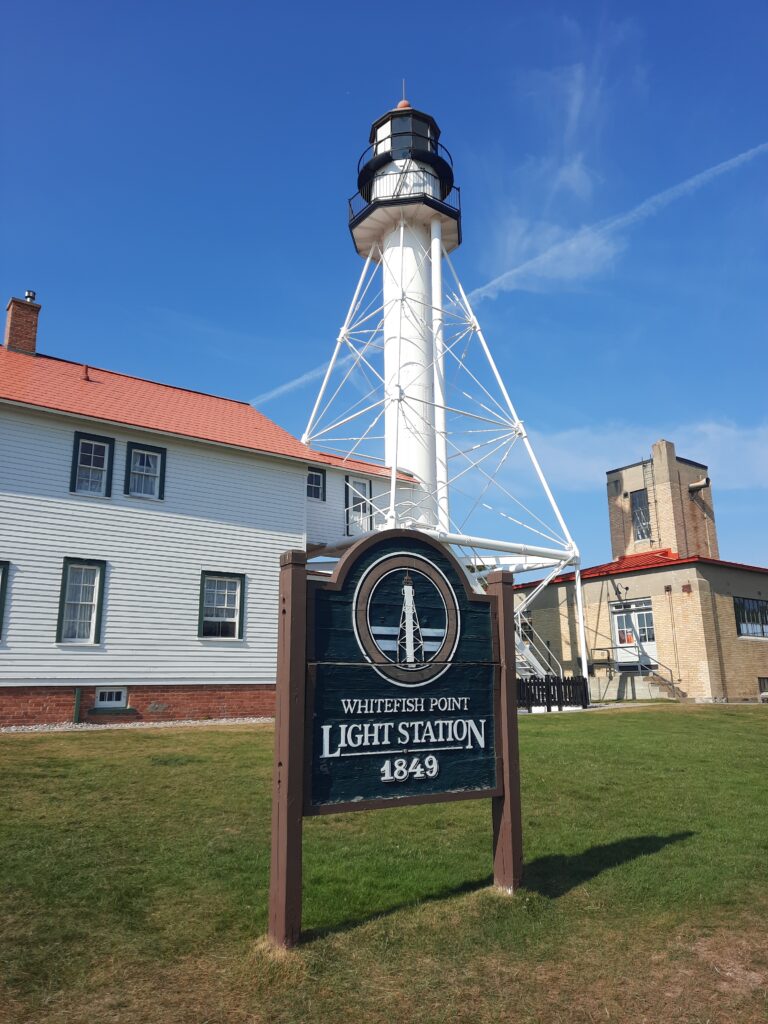
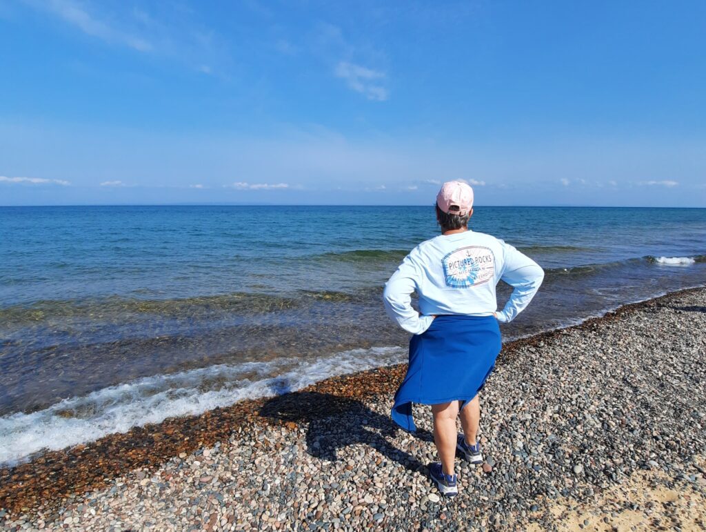
Our next stop was Whitefish Point. Whitefish Point is located at the extreme southeastern end of Lake Superior. It is a critical turning point for all vessel traffic entering and leaving this largest of all the Great Lakes. Whitefish Point marks the eastern end of a notorious 80-mile stretch of shoreline from here west to Munising, Michigan, known ominously as Lake Superior’s Shipwreck Coast. Of the 550 known major shipwrecks lying on the bottom of the lake, at least 200 of them are in the vicinity of Whitefish Point. The primary causes of shipwrecks here are stress of weather and collision; the 1975 loss of the steamer Edmund Fitzgerald with her entire crew of 29 has become a world-wide legend. The wreck of the Fitzgerald lies just 15 miles northwest of Whitefish Point.

Theresa looks out over the clear, deep waters of Lake Superior, at Whitefish Point, MI

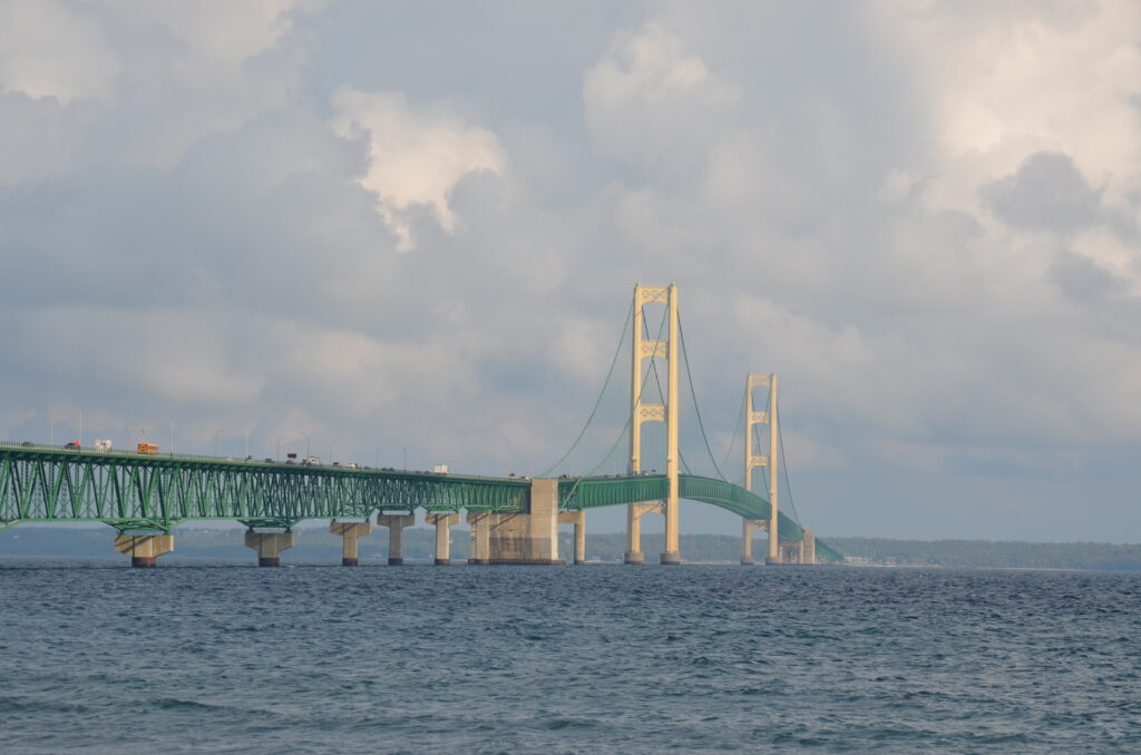
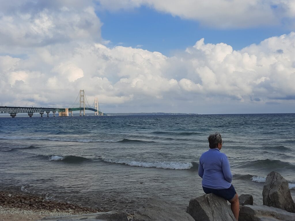
As we moved back south, we stopped for a quick break in Mackinaw City to take a few photos of the impressive Mackinac Bridge that we had just crossed. This 3,800-ft long, 552-ft high suspension bridge connects the Upper and Lower peninsulas of Michigan. It spans the Straits of Mackinac, the body of water connecting Lake Michigan and Lake Huron. It’s an engineering marvel! But our next stop would be a bit more challenging!

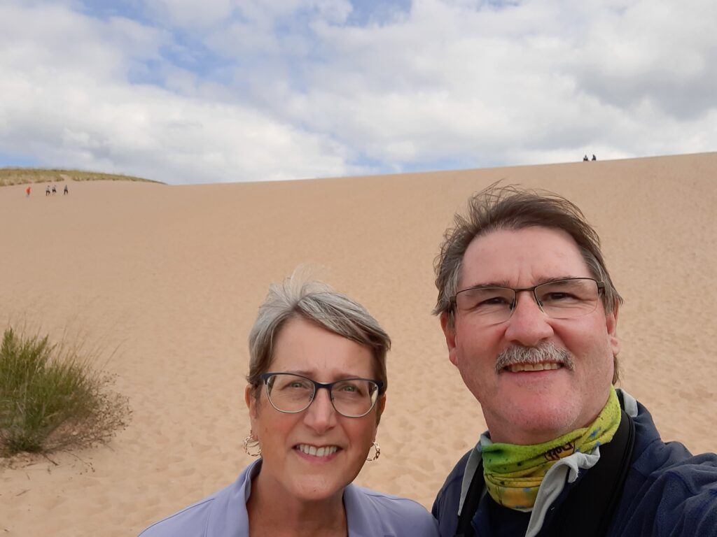
It was late afternoon when we arrived at Sleeping Bear Dunes National Lakeshore. When we pulled into the parking lot of the famous “Dune Climb” we looked at each other, and I commented that it didn’t look that tough! Well, 40 minutes later, with my leg muscles burning and sweat running down my face, I turned to Theresa and asked, “Do you really want to go all the way to the top?” After a couple of selfies (excuses to rest), we trudged on. As you all know, walking through deep, dry sand is difficult, but when you’re walking 450 feet uphill, on a 33-degree slope, in hot, loose sand, it tests your aging body! Finally, after reaching the peak, and anticipating grand views of Lake Michigan, our excitement quickly turned to confusion, might I say, an exhausted bit of frustration! To our surprise, our rigorous climb gave us a spectacular view of……more sand dunes! We learned that we had to hike another 2 miles up and down several more dunes to enjoy the views of Lake Michigan. Nope-wasn’t happening! Don’t get me wrong, it was an amazing ecosystem, but we quickly agreed that we could see the lake from other viewing areas that might not include an ambulance carrying us out! It’s not called Sleeping Bear DUNE National Lake Shore. It’s plural!

The “Dune Climb”

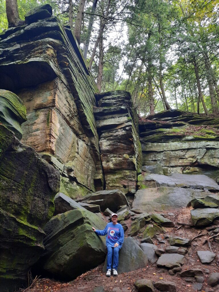
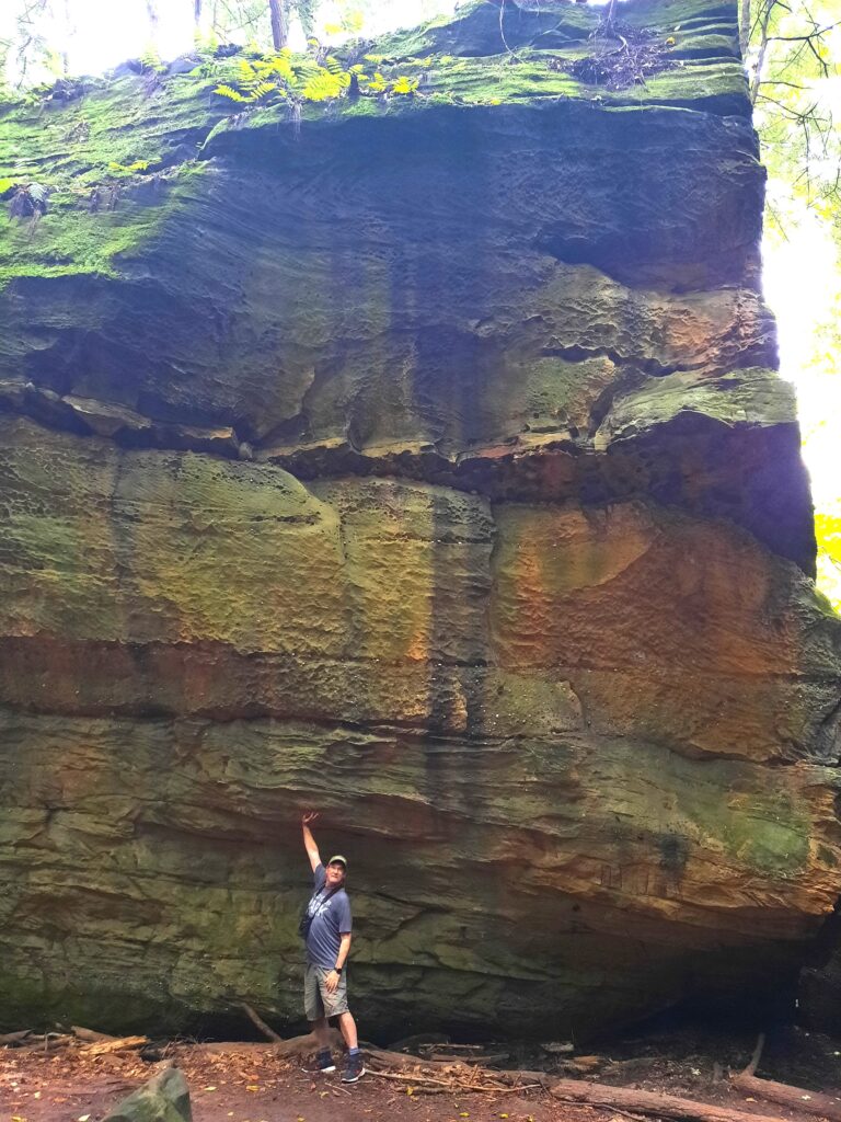
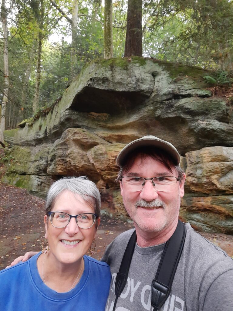
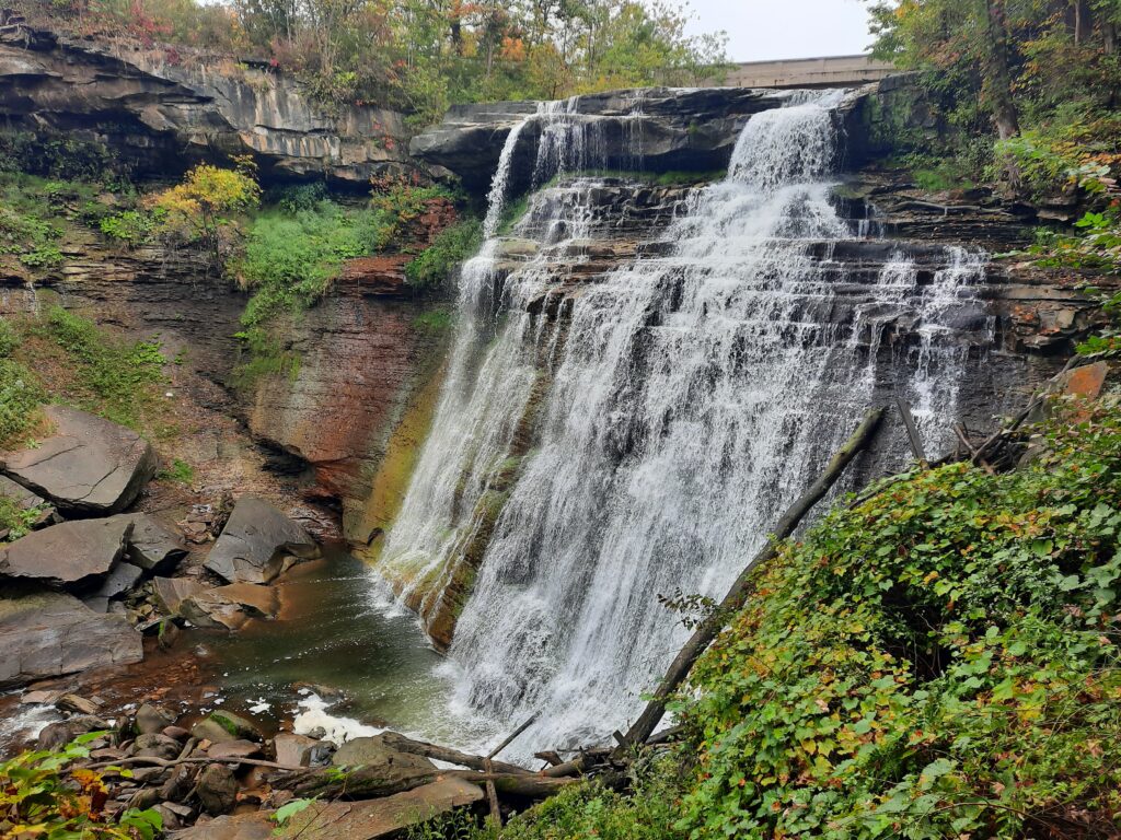
As we turned Big Blue on the trail homeward, past the shores of Lake Erie, our final adventure was Cuyahoga Valley National Park, near Cleveland, OH. This national park is considered an urban park, located close to the cities of Cleveland and Akron. Although it may be positioned in a high populated area, once you hop on one of the 125 miles of hiking trails, you would think you’re in the middle of the wilderness! The name “Cuyahoga” comes from the Native Americans who settled here, and means “crooked river.” The native tribes used the river for fishing and transportation, and took advantage of the large surrounding forest lands for hunting and gathering.  As the Cuyahoga River carved its way through the landscape, it exposed giant rock outcroppings, that today’s visitors can walk right next to, and even under, in some spots. Cuyahoga Valley NP was a pleasant surprise, and a fitting end to our GREAT September Anniversary Trip!

South By Southwest

It was a balmy 99 degrees F when we landed in Tucson, AZ in mid-August, but as they say, it was a “dry heat!” My sister Cathy and I were at my dad’s former home to meet with his widow and sort through some of his stuff to bring back home with us. Although this was their monsoon season, they hadn’t received any rain in a long time. I guess we brought some good luck with us because that evening we received a much-needed storm that brought some relief to the hot, dry Sonoran desert. I did manage to get in an early morning walk through the desert neighborhood. This was a necessary trip that we’ve putting off for a few years, but the real adventure was about to begin the next day!

We had decided to rent a vehicle, pack up what we could fit in the van, and proceed on a 2,150- mile road trip back across the country, stopping for a little sightseeing along the way. The fact that I’m writing this blog is proof that at least one of us made it back without being abandoned by the other, somewhere along a desolate highway in New Mexico, Texas, Oklahoma, or the rural countryside of Missouri!

The lowlands of New Mexico
A quick visit with my HS classmate and basketball teammate Steele Eyer, in NM

When two siblings agree to a long road trip, there’s a buildup of excitement about all things we could see and do together, catch up on what’s going with our lives, and share stories of our father. There’s also driving to share-lot of driving, and this is where a brother’s and sister’s love is truly tested! As you can imagine, we both were absolutely convinced that each of us was a much better driver than the other. I was better with directions. She paid more attention to the road. I obeyed the speed limit. She handled all the rented van’s driver-assist settings better. You name it and somewhere along our voyage, we disagreed on it! After three days, I believe we even “debated” about where exactly we should park in the rest stop! If you ever want to test your love and patience, take a long, multi-day road trip in 100-degree temps! Throw in a couple 12-hour driving days, and you should be all set! But don’t despair, it wasn’t all wicked. For most of the outing, we did enjoy each other’s company, and saw some really cool things along the way!

We piloted through the desert lowlands of Arizona and New Mexico, and up into the mountains of northern New Mexico, spending the night in the beautiful artisan city of Santa Fe. After stopping in Amarillo, Texas so Cathy could leave her spray-painted signature at the Cadillac Ranch, we continued through the pan handle of Texas into the plains of Oklahoma, jumping on and off historic Route 66 for 50 miles. We couldn’t pass up the chance to stop at a roadside attraction that allowed us to stand in three states (Kansas, Oklahoma, Missouri) at the same time! Our day finished up in St. Louis, standing under the Gateway Arch in the fading sunlight, as the Mississippi River flowed quietly past.  It was long, but fun day!

As we powered up I-70 into Illinois, we got distracted bickering about which color Peanut M & M tastes the best, and ended up driving north toward Chicago, about 50 miles out of our way. We managed to snake our way through the farmlands of southern Illinois, back on to our planned route. Note: All Peanut M & M’s taste exactly the same, regardless of color! Next stop-the town of big records!

Somewhere “misguided” in the farmlands of southern Illinois

If you go to the website Roadside America, you’ll find some of America’s weirdest and most unique tourist traps. Many of these are world records in the Guiness Book of World Records, others claim to be, but have no way of verifying their fame. One such town that has embraced these attractions is Casey, Illinois. I stopped there several years ago on a cross-country trip with my son Tyler, to see the largest wind chimes. Well, the wind chimes are still hanging there, but the town now showcases a 15-foot barber pole, giant deer antlers, a giant chair and the world’s largest: mailbox, pencil, golf tee, pitchfork, pizza slicer, truck key, wooden shoes and teeter totter! How’s that for a little roadside pit stop, only 10 minutes off the highway!

The rest of our trip through Indiana, Ohio and back into Pennsylvania was pretty uneventful, other than the occasional snarl I gave my sister to slow down, or her sporadic complaint for me to stop drifting out of my lane on to those dumb little rumble strips they install along highways to keep people from, well, drifting out of their lanes! In the end, we didn’t bury each other’s body in a rural weed patch somewhere, and we’re still talking to each other, but I’M STILL A MUCH BETTER DRIVER! Love ya sis! Thanks for a great road trip!

Spice Is Nice!

I love the native shrub Spicebush (Lindera benzoin)! It provides so much habitat for a variety of critters. Not only does its bright, red fruit attract many birds, such as vireos, thrushes and tanagers, but the flowers attract native bees and other pollinators. It also serves as nesting habitat for several songbirds. We have planted a few in the backyard and they’re really beginning to take off. This adaptable plant with lemony-smelling leaves (when crushed) is a favorite for birds and butterflies. The essential oil contained in the leaves, twigs, bark, and berries was traditionally used in folk medicine and as a substitute for allspice. 

Planted Spicebush in our backyard
The red berries of Spicebush are a favorite food source for many songbirds
A Wood Thrush sits on its nest in a dense Spicebush shrub. The nest was only 4′ off the ground.

Spicebush is best known as a host plant for the Spicebush Swallowtail butterfly, whose larvae (caterpillar) feed on its leaves. Adult butterflies lay their eggs on the underside of the leaves. Once the eggs hatch the caterpillars emerge and begin to eat, and eat, and eat the leaves of the host plant until they are large enough to shed a skin.  They do this 4 or 5 five times, and each new skin is called an ‘instar.’ The tiny caterpillar, which resembles bird droppings on a leaf, will then spin silk to fold one of the leaves around itself to hide from predators during the day.

The baby caterpillar resembles bird droppings on a leaf.
The caterpillar will use its silk to bend a leaf over and hide inside during the day to avoid being eaten by any predators
The combination of their green color to perfectly match the leaf, and its “false eye spots” help protect the caterpillar from predators.

They feed mainly after dark. As it grows, the 2”-3” the caterpillar turns bright green and develops “false eye spots” to scare away predators. Before the last skin shed the caterpillar anchors itself to a leaf, twig, brick, pot, or other stable surface with silk wires, and the hardened chrysalis hangs by these delicate wires for the duration of the transformation.  The adult butterfly emerges about 2 weeks later to feed on the nectar of flowers and find a mate and the whole process starts over. If the caterpillar doesn’t change until fall, the pupa (chrysalis) will overwinter, and hatch as an adult the following spring.

If you’re looking for a plant to attract some wonderful wildlife to your backyard, give our native Spicebush a try! You won’t be disappointed!

The large “False Eye Spots” of the Spicebush Swallowtail butterfly.
An adult, female Spicebush Swallowtail butterfly feeds on a Buttonbush flower.

Georgia on my mind

It was a long 8 1/2 hr drive from our home in Virginia to the coast of Georgia. Our destination was Tybee Island and the City of Savannah, for a quick (early) anniversary getaway. When we arrived it was shorts weather, with a warm 78 degrees F welcoming us-we’ll take that for December!

Although we only planned for a 48-hr visit, we wanted to see as much as possible (a typical trip for us!) in our two day window, including a little beach time on Tybee Island and explore the rich, history of Savannah. Neither disappointed!

Tybee Island is a barrier island about 17 miles east of Savannah. It’s only about 4 square miles, but has some beautiful beaches, lots of shops and restaurants and plenty of quaint B & Bs. It’s a bit quieter and more relaxed in December, but just they way we like our beach trips to be. We usually don’t have much interest in visiting these beach destinations during the busy summer months, when most people do. Lots of people, crowded businesses, traffic and blazing hot temps…nope! We spent our first evening visiting North Beach, a nice, wide beach with lots of seashells, birds and calm waters.

Standing guard in the background is Tybee Island Light Station-Georgia’s oldest and tallest light house, at 145 feet. Its history dates back to 1736! At the end of our 2nd day, we decided to walk off an awesome cuban lunch, by climbing the 178 steps of the spiraling staircase to the top. Thank goodness they had resting platforms every 25 steps, but by the 4th platform, I was hoping they also had a portable AED machine waiting for me! My legs felt as if they were “on fire!” I swear the height of each step in the final section increased by at least another 6″! Sweating and gasping for air, I crawled my way through the door at the top, so we could enjoy the beautiful, foggy views with 20 mph winds blowing in our faces! It was quite the little afternoon hike!

178 steps to the top….wow!

The 2nd part of our quick trip was very cool, as we took a guided trolley tour of Savannah’s Historic District where we learned so much of the city’s rich history. From James Oglethorpe’s founding of Georgia’s first colony in 1733, to it’s important role in the Revolutionary War, and of course, the critical part it played in the Civil War-including General Sherman’s famous “March to the Sea,” a 265-mile trek from Atlanta to Savannah with 60,000 Union soldiers. But, surprisingly we also learned that Savannah was home to Juliette Gordon Low, founder of the Girl Scouts, and also where Robert Louis Stevenson wrote his well-known pirates novel, Treasure Island! There was literally history along every street, and around every turn we took on our tour!

The architecture of Savannah’s Historic Distric was amazing!

We ended our mini-holiday with a trip to Wormsloe Historic Site. The site was the colonial estate of Noble Jones. Jones was a humble carpenter who arrived in Georgia in 1733 with James Oglethorpe (founder of Georgia) and the first group of settlers from England. Wormsloe’s tabby ruin is the oldest standing structure in Savannah. But, by far the greatest (and most well-known) part of the Historic Site is the 1-mile Live Oak lined avenue you drive through to get to the museum. It was fantastic! It’s so beautiful that several movies have filmed scenes using this entrance way, including Roots (1976), Gator (1977), General’s Daughter (1999), and The Last Song (2010).

Wormsloe Historic Site’s Entrance Gate
The famous Live Oak lined avenue leading into Wormsloe Historic Site, near about 10 miles from Savannah.

Georgia’s southeast coast has so much to offer to visitors. With beauiful beaches, large Live Oaks dripping with Spanish Moss and the amazing history of Savannah, no wonder it’s one of the most popular destinations in the U.S.!

The Last Frontier-Part 1

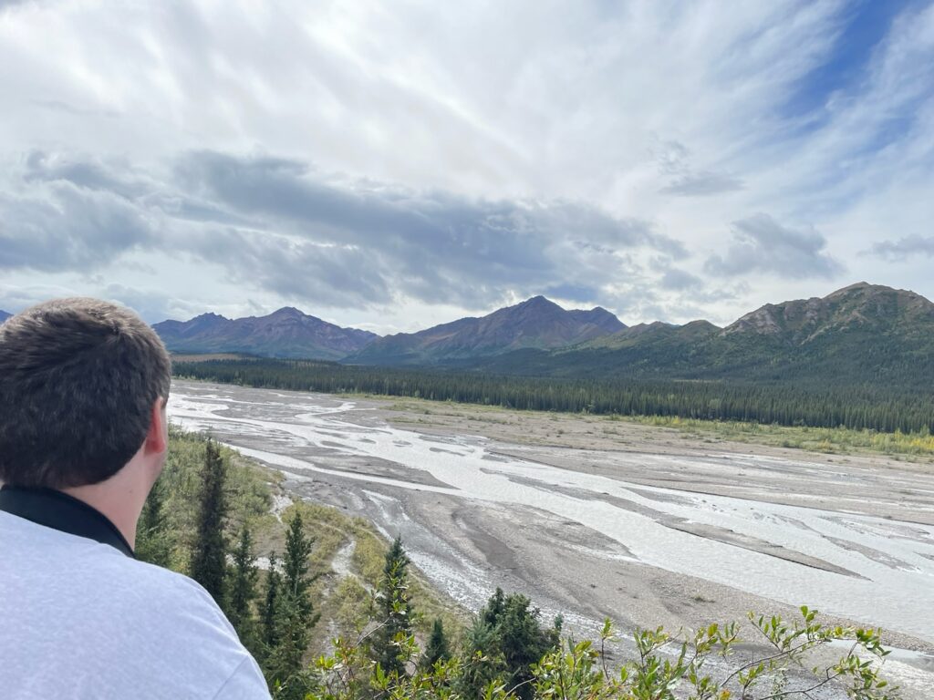
Tyler overlooking the Savage River Valley in Denali National Park & Preserve

It’s known as “The Last Frontier,” as well as “the Land of the Midnight Sun.” It was the 49th state admitted to the union in 1959, after being purchased by Russia in 1867. This is Alaska….and it’s enormous! It’s the largest state in the United States. In fact, in total land area, it’s bigger than Texas, Montana and California combined! And here’s a few more impressive (and a bit unusual), fun facts:

  • Alaska has the longest coastline (6,640 miles) than all the other states combined
  • Alaska’s name comes from the native Aleut word, Alyeska, which roughly means “great land”
  • Alaska has 17 of the tallest mountains in North America, including Denali at 20,320 feet
  • Alaska has more than 130 volcanoes, although there have only been two eruptions in the last century
  • Alaska is home to the annual Iditarod-a 1,000 mile +/- dog sled race
  • Alaska has 1 bear for every 21 citizens
  • Alaska and Russia are very close. At its nearest point, mainland Alaska is only 55 miles from mainland Russia
  • Alaska has more than 100,000 glaciers-more than any other area on the planet
  • Alaska has more than 220 native tribes that speak 20 distinct indigenous languages
  • Alaska is so big it technically lies in both the Eastern and Western Hemispheres
  • Alaska is the only state in the U.S. of which all the letters in its name can be typed on the same row of a computer keyboard (go ahead, try!)
  • Alaska has the only state capital (Juneau) that cannot be reached by road
  • Alaska has more than 3 million lakes and more than 12,000 rivers

After cancelling our plans for two years due to covid, our long-awaited family vacation to Alaska finally started in Anchorage, on a chilly, rainy day in late August……and it met all of our expectations!

I started planning this trip in the fall of 2019. I had previously visited Alaska with my dad several years ago on birding trips. But I really wanted to return with my family for an outdoor adventure to experience some of the awesome natural and cultural treasures Alaska had to offer. The map below shows the locations of where we visited.

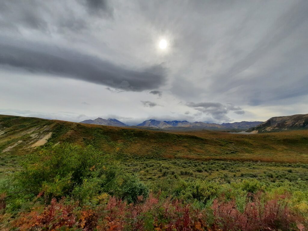
Our plan was to rent a car, break the trip into two main regions, and cram as many activities and sights into the 8 days we had set aside. From Anchorage, we first drove 4 hours north to get a sampling of Alaska’s interior, focusing on Denali National Park and Preserve, home to “Denali” (formerly called Mt McKinley), the highest mountain in North America at 20,320 feet. Denali is part of the Alaska Range, a rather unsual mountain range since it runs east to west, compared to most mountain ranges that run north to south. After spending a few days gazing at towering, snow-covered mountains that stretched in every direction, taiga (boreal) forests and alpine tundra that went on for miles, we turned around and headed back south. The second part of our vacation was spent visiting the Kenai Peninsula, with stops in Whittier (Prince William Sound) and Seward (Kenai Fjords National Park). In both areas, we were hoping to see lots of wildlife, breathtaking landscapes and learn about the cultural diversity.

NORTH TO DENALI

Denali is more than just a mountain. Its six million acres of wild land, protected and preserved for wildlife and people alike. It’s a vast ecosystem that offers scientists, adventurers, hunters, writers and artists the opportunity to discover and enjoy natural resources found nowhere else. Although millions of people visit each year, most of it still remains a mystery and unexplored. The name change, from Mt McKinley National Park to Denali National Park and Preserve, did not come easily, however. After 100 years of debate, the National Park Service officially changed the name in 2016, to celebrate the 100th Anniversary of the NPS, and finally recognize the native name, “Denali,” which means “The Great One.”

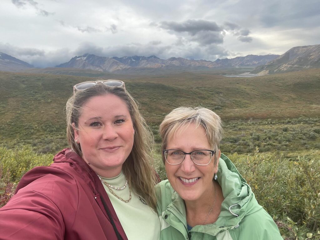
With part of the Alaska Range in the background, Theresa and Darby snap a photo at one of the many alpine tundra overlooks along Park Road.

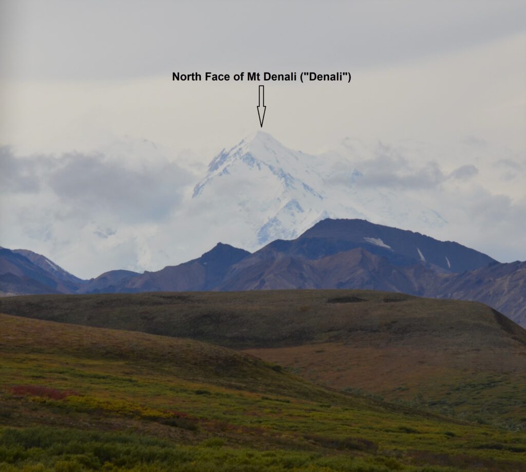
Unfortunately, most visitors to the park never get to see the mighty mountain because clouds and fog keep it hidden many days of the year. On this day, however, we got a little lucky, as the clouds lifted for just a little while, revealing the top of the enormous, snow-covered north face. We were all fascinated by the size of it, as it seemed to touch the sky. Now, you have to put things into perspective. For the first couple days we snapped photo after photo of big, beautiful mountains all around us, many of which were 8, 10 and 12 thousand footers. They were amazing. But then we caught our first glimpse of Denali. Wow, just Wow! Like the mythical village of Brigadoon rising out of the mist, Denali emerged from the clouds. It stood there, massive and majestic, towering over everything around it. Simply put, you could tell you were looking at the tallest mountain in North America! Nothing else compared!

“The Great One”

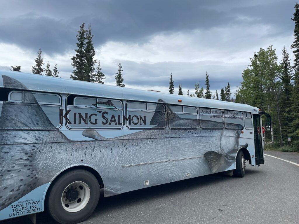
There is only one road in Denali National Park and Preserve. It goes for about 90 miles toward the center of the park, from the eastern border. It is strictly controlled by the NPS that limits the public from driving their vehicles past the 15-mile mark. However, it does run bus tours along this scenic route, that allows visitors to get closer views of the giant mountain and search for some of the park’s famous wildlife species. It also drops off backcountry hikers/campers. That is, until late summer of 2021, when the Pretty Rocks landslide completely destroyed the road near the 43-mile mark. Now, vehicles, including bus tours, can only access the park to this point, where they must turn around. The NPS is still deciding what to do about this dilemma. They’re either looking to possibly reroute the road or build a bridge over this very unstable area. Although we were looking forward to traveling the entire 90 miles, we decided to keep our long-standing reservation on the Tundra Wilderness Tour…. and glad we did!

One of the decorative tour busses
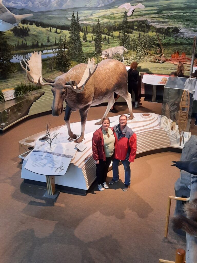
Darby and I pause for a quick pic, while checking out the Moose display in the Denali Visitors Center, before heading out on our Tundra Wilderness Tour.

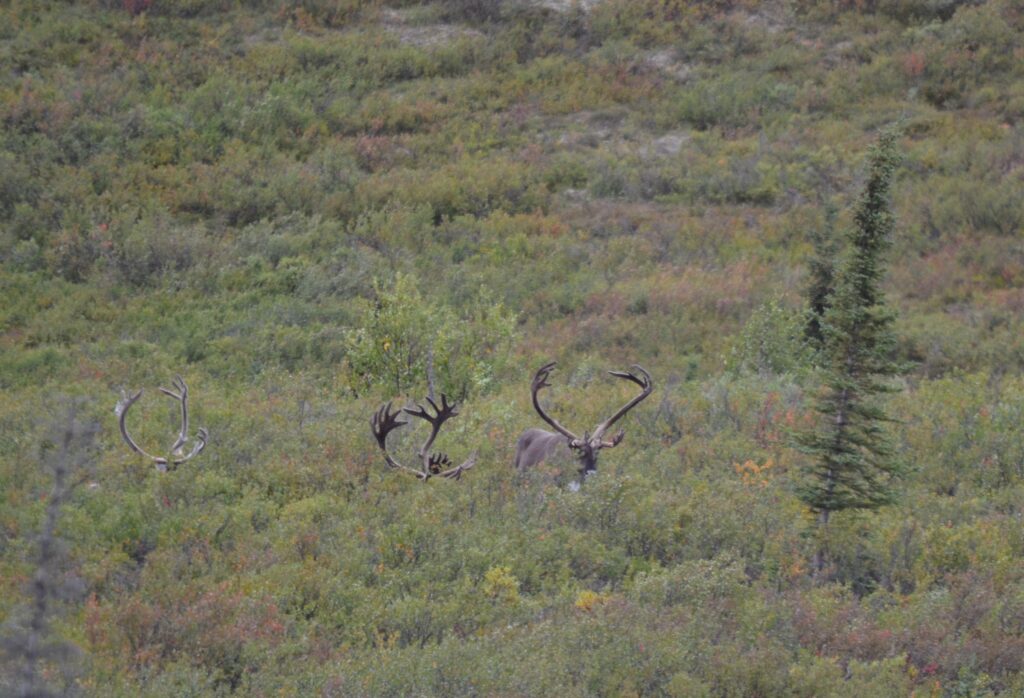
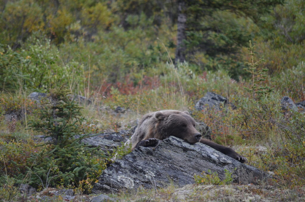
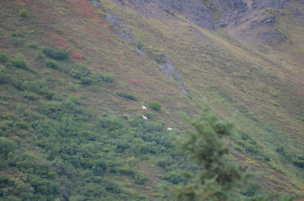
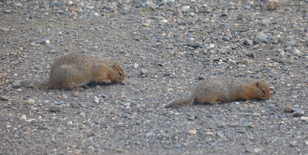
During this 5-hour trip, we saw lots of wildlife, but you had to look closely. Because the landscape was so wide, it was sometimes difficult to spot some of the critters. Along our route, we had great views of Caribou, Moose, Dall Sheep and 4 different Grizzly Bears, including one napping on a rock only 50 feet from the road! It was fantastic, and maybe a once in a lifetime encounter! The interior land mammals of Alaska did not disappoint-from the magnificent Grizzlies right down to the cute little Arctic Ground Squirrels.

Caribou on the alpine tundra
Bull Moose
Napping Grizzly Bear
Distant Dall Sheep
Arctic Ground Squirrels
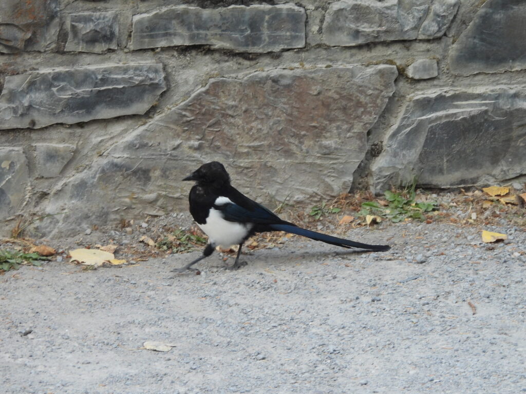
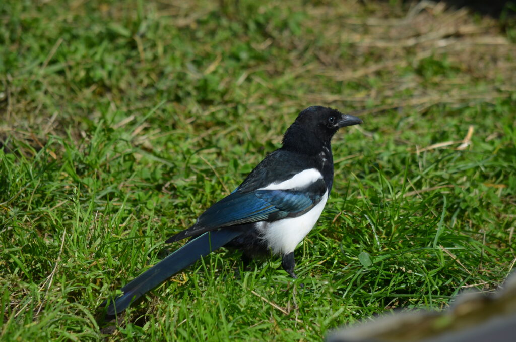
Black-billed Magpie

This is a very special place. With millions of acres of mountains and rivers, boreal forests and alpine tundra, and home to some of the most beautiful wildlife in nature , Denali National Park and Preserve represents one of America’s most treasured ecosystems! All this, as “The Great One” boldly stands guard in the backdrop! As we said good-bye to Denali, we drove the 4 hours back to Anchorage to spend the night, stopping to stretch our legs at Chugach State Park. We took a short hike to view the 200-foot Thunderbird Falls, which cascades down through the Eklutna River canyon. As we travelled south, I was constantly amazed how lush the forest vegetation was in many areas we visited, which I had learned were coastal temperate rain forests! Ecological diversity at its best!

Pausing for a family selfie near 200′ Thunderbird Falls in Chuchach SP near Anchorage.
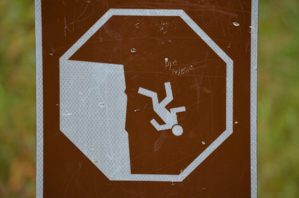
I just had to snap this photo. This was the only sign posted by these high waterfalls! I gotcha!
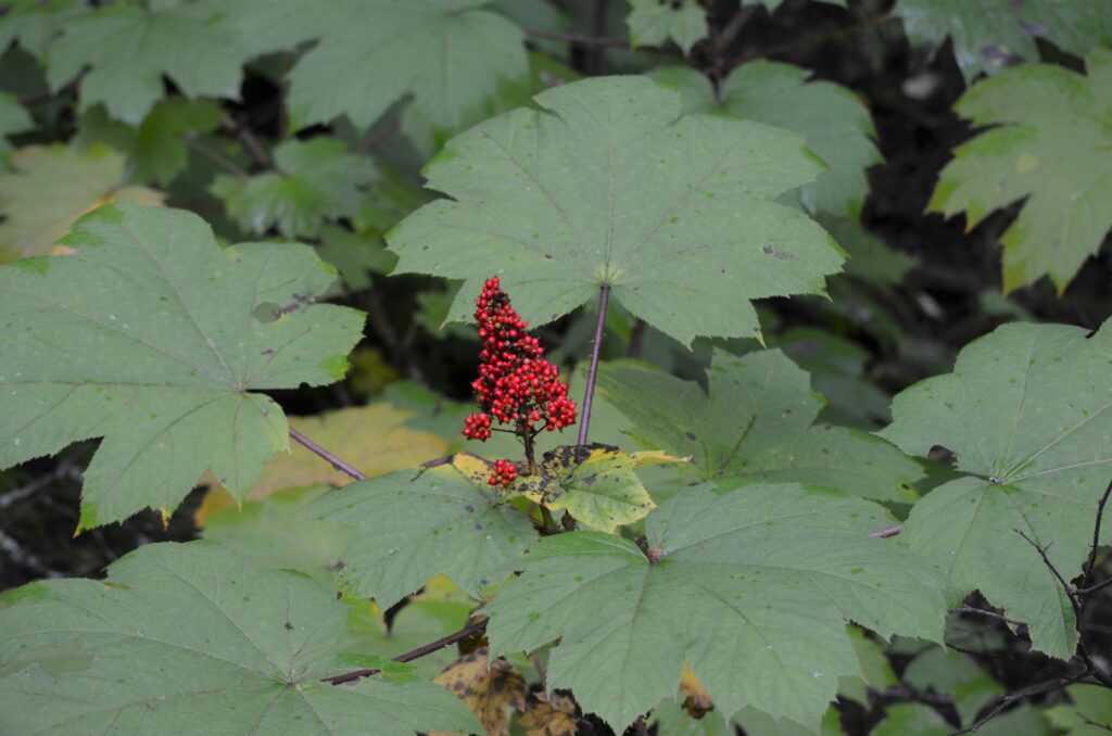
Devil’s Club is a large, native understory shrub that grows in the coastal temperate rainforests of Alaska and the Pacific Northwest. The leaves look like oversized maple leaves, and I learned the bright red berries are a favorite food of bears. But beware, their stems are covered in sharp thorns!
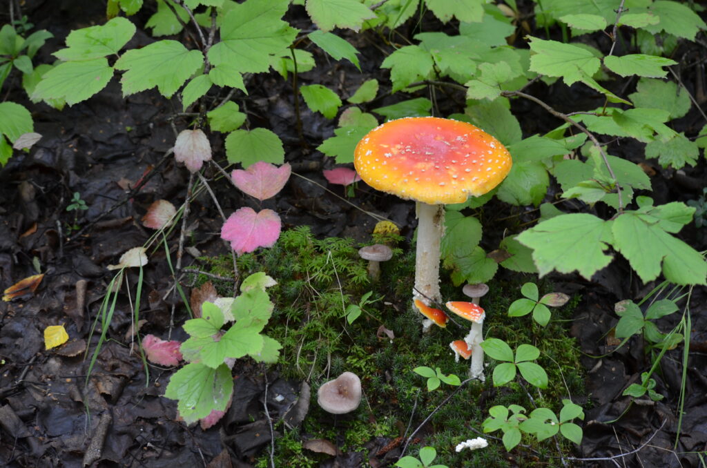
With lots of moisture on the forest floor, comes lots of mushrooms.

Giving Thanks on the Carolina Coast

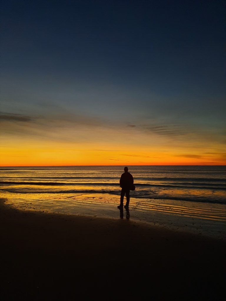
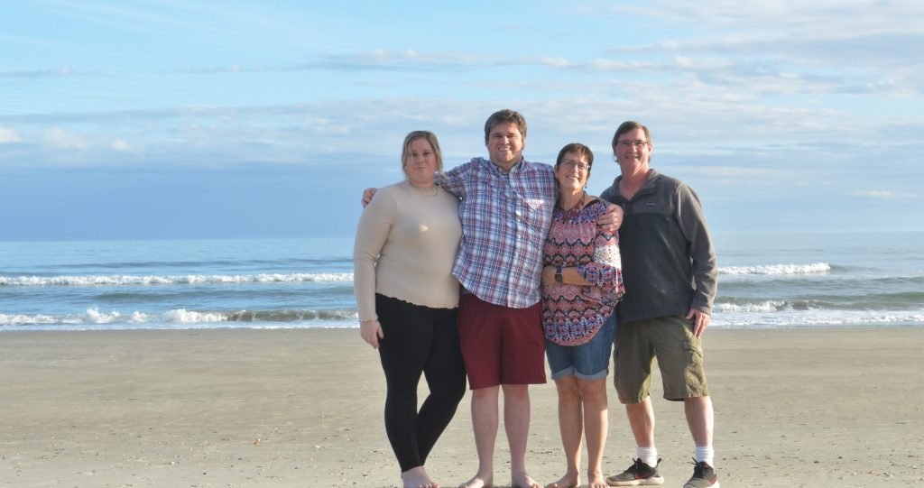
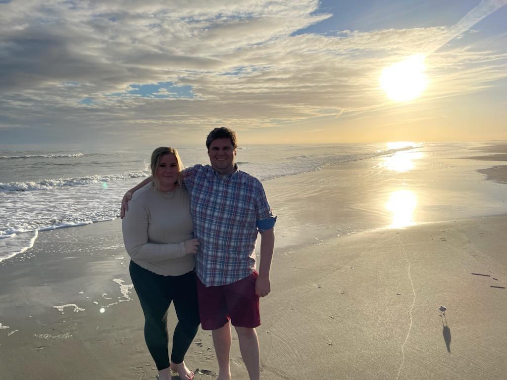
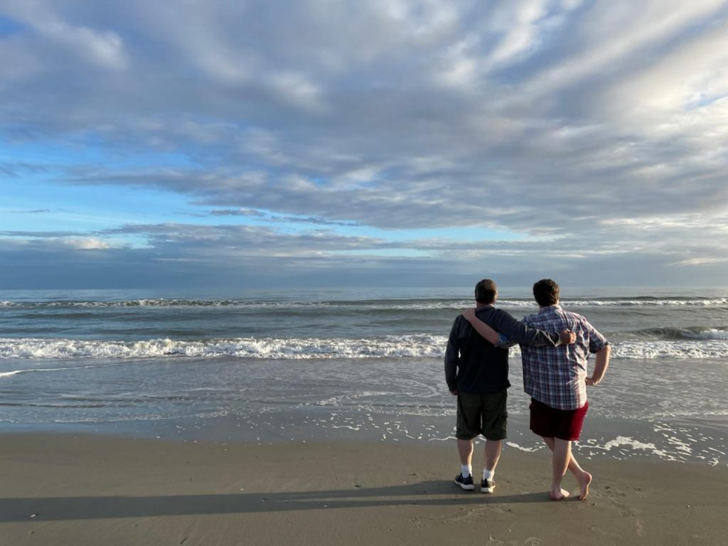
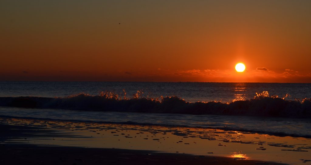
As I walked out on the beach looking toward the vast darkness, a soft glow of pastel colors started to illuminate the horizon of the eastern sky. There’s just something about sitting in the sand watching the sun rise over the ocean. It’s calming, peaceful and a bit magical. As a boat captain once said, “Anyone who has never seen the sea at six in the morning does not know the sea.” I agree. It’s my favorite time of the day when I visit the beach.

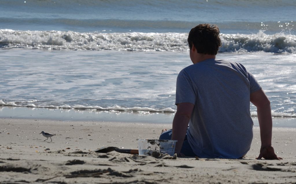
Tyler watches our new Sanderling buddy

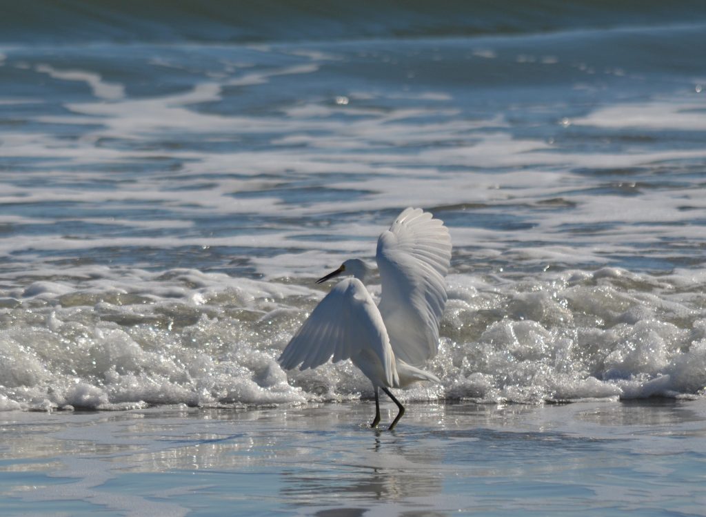
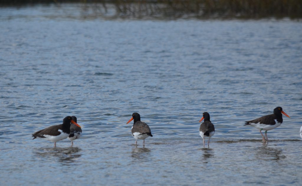
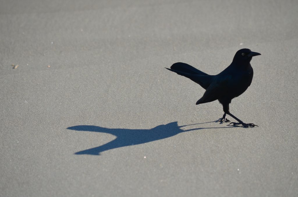
A few of the beach birds we saw: Black Skimmers (top left), Snowy Egret fishing in the surf (top center), Great black-backed Gull (top right), Brown Pelican w/Double-crested Cormorants and an owl decoy (bottom left), American Oystercatchers (bottom center) and a Boat-tailed Grackle and his shadow (bottom right)

My family and I decided to spend Thanksgiving week at the beach. It’s been a tough year, and we needed this time together. We chose Ocean Isle Beach, a quiet spot on the southern coast of North Carolina, about a mile and half from the South Carolina border, as the crow flies. The area was beautiful, even though it still showed signs of severe damage from Hurricane Isaias, a Category 1 hurricane that slammed directly into this small town one year ago and caused the worst flooding the island had ever experienced. As one lady I spoke with in a local market told me, “The storm really caught us by surprise. We were complacent, thinking it was ‘only a Cat 1,’ so most of us decided we would just ride it out. We were lucky to get out. It was really scary!”

Visiting a popular beach area in late November is much different than enjoying a hot summer vacation at the shore in July. There are far fewer people, many of the businesses have reduced operating hours, or have closed for the season and the water is just a bit too chilly to take a dip in. You can, but it would be a quick one without a wet suit! However, the days still can be sunny and warm, and all the things that make visiting a beach during the warmer months so enjoyable seem a bit more magnified in November-the soothing sounds of the water, the salt air, the cool sand between your toes and the Brown Pelicans gliding just above the ocean waves. These are the things that I seek when I venture to the seaside.

A local shrimp boat fishes about 1/3 mile off shore, with hundreds of birds following close behind
A local Red Fox below our balcony. Our first morning there, one of the neighbors fed this critter pieces of chicken. He must have been a regular, because each time he would come back he would stop and look up at that balcony
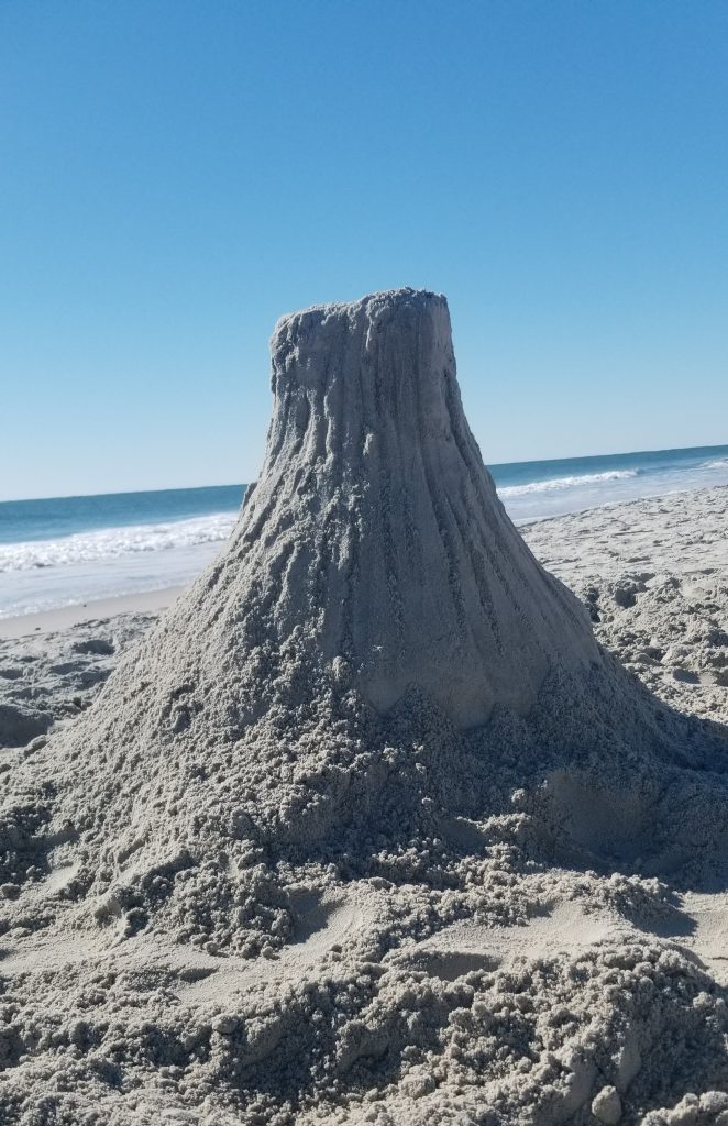
Our sand version of Devil’s Tower
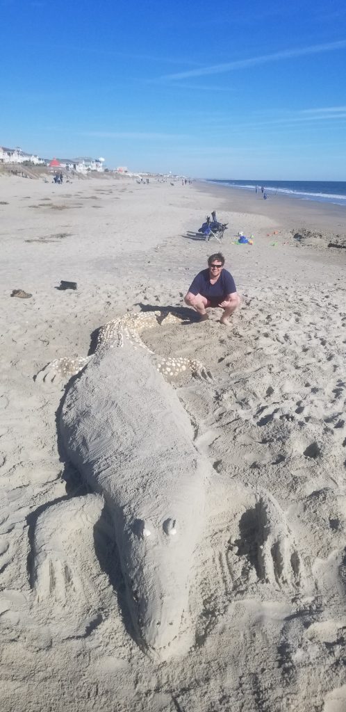
Tyler sits with the finished 20′ sand gator
The 20′ semi-mosiac (over 500 seashells) sand gator
We took an afternoon and toured the battleship USS North Carolina in Wilmington
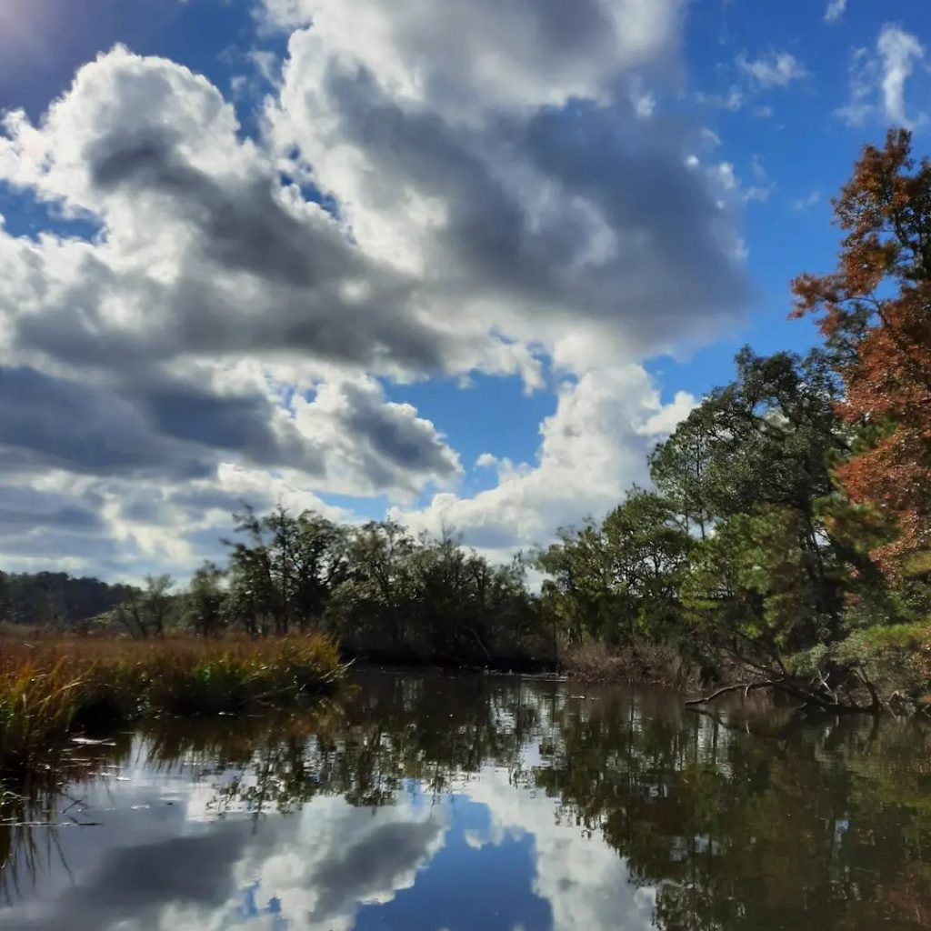
Cruising up the Shallotte River on a nature cruise

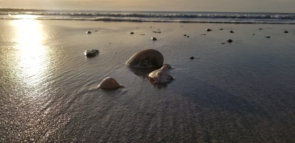
We love visiting the coast. It’s a great way to relax and recharge your batteries, watch some wildlife, eat some great seafood, play in the sand, and just stroll the along the beach looking for that perfect seashell. I wouldn’t consider myself a beach person though. After 6 days, I was ready to hit the road and head home. For me, our beach trip definitely served its purpose, and simply reminded me to Give Thanks for all that I have, and all the people in my life!

Almost Heaven-WV

As we approached the peak of the mountain, it was quite evident we had entered an entirely different ecosystem than what we just left, over 2000’ below us, and understood where this wild mountain got its name.

Mountain Ash, full of berries, along with Red Spruce, are the dominant species on Spruce Knob

The brilliant fall colors of the birches, maples and hickories were gone, replaced by the dark green stands of Red Spruce, small Mountain Ash trees with their clusters of blood red berries and low-growing huckleberry bushes. The vegetation here has adapted to a harsh environment.  Although it was a warm day down below, the high elevation and steady breeze kept the temperature up on “the Knob” fairly cool. We had taken a day trip to visit West Virginia’s highest point-Spruce Knob.

Spruce Knob is the tallest peak in West Virginia at 4,863’. Not only is it the highest point in West Virginia, but it’s also the highest peak in the Allegheny Mountain range. Early settlers to this area burned thousands of acres of land on Spruce Mountain to create pasture for livestock. 

Spruce Knob Tower

Timbering was the main industry in the area at the turn of the century and the last stand of old growth timber was cut down in the late 1920s. Forest fires were frequent, so much so that local residents called the Knob, “Big Burn.” In 1921, Spruce Knob was acquired by the U.S. Forest Service as part of the Monongahela National Forest and since then it has been fire free. Travel to the area was greatly enhanced when a road was built across Spruce Mountain in 1936 but it was not until 1960 that a spur road ran all the way to the top.

The climate at Spruce Knob is cold continental or highland with cool summers and cold and snowy winters. Spruce Knob is also different from other summits in the area because of its distinctly alpine ambience.  As its name might suggest, the top portion of the mountain is covered by a large population of spruce trees, creating a dense boreal forest. Many of the spruce trees are one-sided, deformed by constant exposure to strong westerly winds. This environment is often associated with the peaks of Canada and New England, but at Spruce Knob you can experience it without having to travel that far north!

Theresa poses on one of the rock outcroppings on top of Spruce Knob
The Red Spruce trees create a dense shady forest, where moss grows well on the barren rocks.

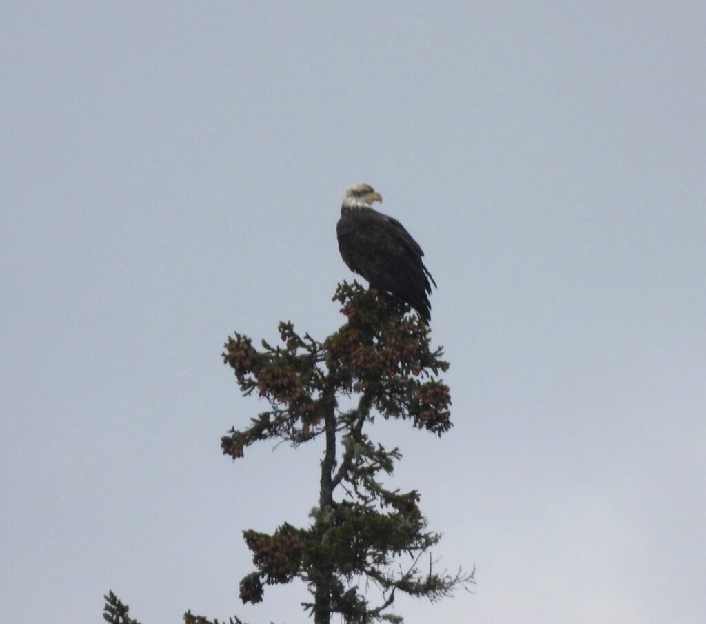
Because of this unique ecosystem, the animals that inhabit Spruce Knob are also fairly distinctive. A few species that breed here are usually associated with areas much farther north, such as Snowshoe Hares, Porcupines and Northern Flying Squirrels. Several “northern breeding” bird species also reside on Spruce Knob such as Magnolia and Canada Warblers, Swainson’s Thrushes, Common Ravens, Red Crossbills and Dark-eyed Juncos. When we visited, I saw many migrating raptors overhead, including a dozen Sharp-shinned Hawks, a couple Cooper’s Hawks and Red-tailed Hawks, an immature Bald Eagle and the best bird of the day, a fast-moving Peregrine Falcon!

A fast moving Peregrine Falcon migrates past Spruce Knob

If you’re ever in the area of Spruce Knob, or can take a day trip to visit this beautiful mountain vista, I would definitely recommend it! The unique boreal ecosystem along with stunning views, makes you think that it’s “Almost Heaven-West Virginia!”

2021 Butterfly Bonanza

Our 2021 butterfly sightings have been a real bonanza! Maybe we’ve spotted many more this year because of having to spend more time around our home, due to the pandemic. However, we’d like to think that we’ve had something (positive) to do with it!

Since we moved into our new property here in Virginia in 2017 (from Pennsylvania), we’ve worked hard at trying to improve the habitat for all kinds of pollinators, which included adding many new plantings. I’ve tallied about 25 different species that I can identify this year, and a few more that I can’t! There’s a lot of little, beautiful, butterflies that look alike-stay tuned! So, here’s our photo gallery (so far this year) of what we’ve attracted.

Probably the showiest of all our local butterflies are the Swallowtails. Most of these are large, colorful and regularly visit an assortment of both perennial and annual flowers. The Tiger Swallowtail is the state insect here in Virginia. They get their name from the yellow color with black stripes. Females will show pretty shades of blue on their lower hind wings. They also occur in a dark phase (females only). The middle photo below shows both color phases together on our Butterfly Bush. They really love sunflowers, especially the smaller Mexican Sunflower (Tithonia).

Spicebush Swallowtail on a Mexican Sunflower, with 2 Tigers photo-bombing in the background.
Black Swallowtail on a New York Ironweed
Black Swallowtail caterpillar on one of the Fennel (host plant) we planted specifically for this species
Another one of the Swallowtails is the Pipevine Swallowtail….again, enjoying one of the Mexican Sunflowers.
Although technically not a Swallowtail, the Red-spotted Purple, with its iridescent blue color, looks very much like them.

The group of butterflies called Skippers (above) includes dozens and dozens of different species-many of which look very much alike. Here’s a few that I think, I was able to identify! From top left, to bottom right: Common Checkered, Columbine Duskywing, Zabulon, Tawny-edged, Pecks, and my favorite, the Silver-spotted. These little ones are enjoying Tithonia, Monarda and common thistle.

Great spangled Fritillary on a Common Milkweed
Variegated Fritillary
Red Admiral on a perennial downspout!

There are many more tiny butterflies, than there are big ones. You have to look close for these beauties, since they usually stay close to the ground. From Left to right: Pearl Crescent, Eastern-tailed Blue and a pair of Red-banded Hairstreaks. These three are all about the size of the end of your thumb.

The Mourning Cloak butterfly gets its name from having the look of wearing a cloak worn by people who mourn the loss of a loved one.
Common Buckeye resting on a soon-to-bloom Sedum.
An American Lady feeds on an Agastache (Giant Hyssop) plant.
A Cabbage White feeding on a low-growing Heal All flower.
One of my favorite meadow butterflies is the Clouded Sulphur. This fast-moving beauty took a few minutes to stop and feed on a Common Teasel I found growing on the edge of our small meadow (I’ve since removed this aggressive, non-native invasive plant)

……..and finally, the majestic Monarch. This well-known butterfly has been the focus of many conservation efforts in the past decade, since its population in some areas has declined by nearly 90%! Even in our four short years here, sadly, we don’t see too many of them, even though we now have a good stand of Common Milkweed. However, in the past few weeks, I did manage to find a dozen caterpillars feeding mainly on Swamp Milkweed, but also on Common Milkweed and Butterfly weed.

Three Monarch caterpillars munch on a Swamp Milkweed.