Category Archives: Discovering Nature and the Great Outdoors

Trail Time

Bikes loaded, check. Helmets and air pump loaded, check. Water and snacks packed, check. Backup water and backup snacks packed, check, check. It’s 8:00 am on a Sunday morning, and Theresa and I are off to bike another trail. “Where are we headed?” Theresa asks curiously. “We’re going north, to the D & L Trail,” I responded with a grin. Time to get those legs ready!

             trail   pinecreek1

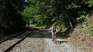
We’ve been biking rail trails regularly for about 3 years now. “Regularly” for us is a couple trips/month. Our trusty 20+ year old hybrid mountain bikes have carried us over many miles. Years ago, both our kids would join us on our journeys. Now that they’re away in college, it’s pretty much the wife and I, although our daughter does still ride with us occasionally when she’s home from school and not working. Since our outings are only day trips, so far, we’ve limited our destinations to within two hours of our home. But since we like to try as many different trails as we can, we’re running out of “local” trips, and may have to expand out a bit further.

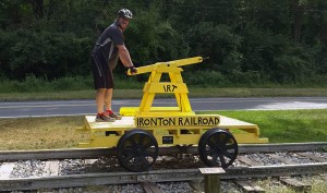
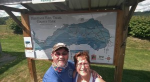
irontont1 yhtrail2

irontont2 srtthun1

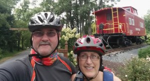
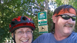
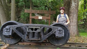
Many of our trail trips include stops to check out interesting gadgets of history, nature and of course, the ever popular selfies-which we really haven’t mastered yet!

We have lots of reasons we enjoy biking on rail trails.

  1. It’s fun! If it wasn’t fun, we wouldn’t be doing it!
  2. It’s great exercise, and of course, as we get older, we need to keep active for our health and wellness. Bike riding is a great workout-both for cardio and strength training. It’s much easier on your legs, knees, ankles and feet than running.
  3. Biking gets us outdoors, where we prefer to be on weekends-out and about.
  4. We get to see lots of cool nature along the way, like wildlife, wildflowers, waterfalls and scenic views.
  5. Since most of the trails are old rail beds, we learn about the history of the railroad-what it carried, and its impact on the early settlement and industrialization of our country.

yhtrail3 exeter3

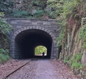
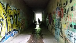
                                                Some trails include tunnels-some historic, others “artistic!”

irontont3 yhtrail1

Don’t get me wrong. We’re not long distance riders. Our longest round trip to date is 16 miles, and we’re fine with that. My legs and butt always let me know if we’ve traveled far enough! Actually, my wife has a bit more endurance than I do, so when my body tells me I’m just about spent, she’s the next to know! I’ve also had my fair share of mini-mishaps. Like the time we we’re riding the Thun section of the Schuylkill River Trail and I was riding close behind her, and our daughter Darby was out in front. I glanced over to check out a hawk, lost my balance, clipped the back wheel of Theresa’s bike, and went down like a ton of bricks. Fortunately, Theresa kept pedaling and maintained her balance. However, I landed hard on my shoulder, got two thorns in my arm and rolled into some poison ivy. After quickly determining that I had no broken bones, I jumped up to see if anyone saw my catastrophic trail crash, only to see Theresa’s silhouette cruising on down the trail and shouting, “You OK back there?’ “Yep, just fine dear,” I grunted, dusting myself off. P.S. Glad I was wearing my helmet. I love biking!

srtthun2014a pinecreek3

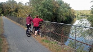
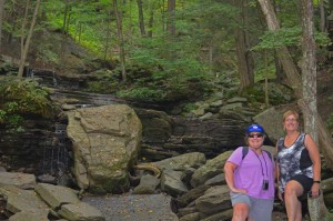
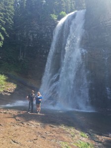
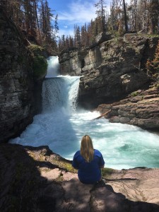
Taking in the sights. Mother & daughter check out the Schuylkill River along the Thun Trail, and sister & wife take a break near a waterfall, along the Pine Creek Trail.


Great Northwest Passage Trip – Up From Below

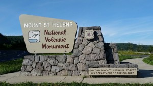
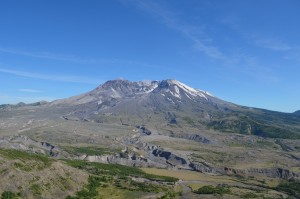
In late March of 1980, scientists recorded a 4.2 magnitude earthquake deep below Mount St Helens, in the Cascade Mountains in Washington State. Seismic activity continued to grow over the next six weeks. Then, at 8:32 am on May 18th, the mountain could no longer hold back the inside pressure, and the most destructive U.S. volcano had begun to erupt.

mshelen1 mshelen2

Over the next 9 hours, the eruption created clouds of superheated gas and rock debris blown out of the mountain face moving at nearly supersonic speeds. The ash clouds reached 15 miles (80,000 feet) into the atmosphere and deposited ash in 11 states. Day was turned into night. The initial blast wiped-out everything instantly within 8 miles, and the shockwave that immediately followed leveled every tree in the surrounding forest for another 19 miles. The total area shattered by the blast was an astonishing 230 square miles! Sadly, 57 people lost their lives that day, and the economic losses were estimated to be 1.1 billion dollars. Before its eruption, Mount St Helens was the 5th largest mountain in Washington, at 9,677 feet. After the eruption, it lost about 1,300 feet in height-now standing at 8,365 feet in elevation.mshelen4

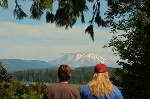
It’s been 36 years since the eruption of Mount St Helens, but as we drove the winding road to the Johnson Ridge Visitors Center for a closer look at the volcano, the devastation was still clearly evident all around us. Seared dead timber still stands on the surrounding ridges and vegetation is just starting to return to the slopes of this massive mountain. We pass by a large, gray-looking river valley, a mile wide and full of debris, rocks and dried mud. It was one of the most eerie, but unique landscapes, we’ve ever seen. Knowing the tragedy that happened to the people who lost their lives that day, it was also one of the most somber.

mshelen5Today, the USGS (United States Geological Survey) continue to monitor the volcano for earthquakes, swelling and gas emissions. Volcanologists believe it’s not a matter of IF it will erupt again, but simply WHEN.


BEAUTIFUL BLUE CRATER

cl2

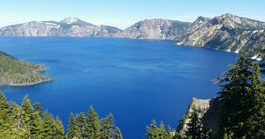
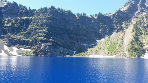
Approximately 350 miles south of Mount St Helens, in the southern Cascades of Oregon, is the remains of another massive volcano, called Mount Mazama. Never heard of it? That’s OK, probably the millions of people who have visited this site never have either. Now it’s called Crater Lake. That’s because the eruption of Mount Mazama occurred about 7,700 years ago and was so violent it triggered the complete collapse upon itself, creating what’s called a caldera. It simply dropped into the earth. What it left was a crater, 6 miles wide and 2,150 feet to the top of the rim. Many people think that Crater Lake was formed by the impact of a large meteor! In the crater, a lake formed from rain and melted snow. Today, precipitation is still the only source of water into the lake. There is no inlet or outlet to the lake. It averages about 66 inches of rain each year and about 533 inches (44 feet) of snowfall. The water in the lake is so blue and clear it almost looks unreal. You can actually see down almost 100 feet. Crater Lake is 1,943 feet deep. That makes it the deepest lake in the United States, and the ninth deepest lake in the world! Crater Lake became a National Park in 1902.

cl3 cl4

20160702_154538_resized

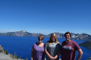
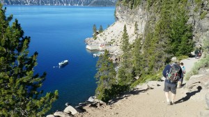
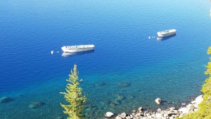
Back in the spring we had made reservations to take a boat ride down in the lake. This was a rare treat since they only run them for a short time each year and they sell out very quickly. There was only one small catch, you had to hike down to the lake from the north rim, about 1.5 miles. No problem we thought, we’ve been hiking at various parks for 10 days. The trail down was wide and well maintained, with many switchbacks. Both Tyler and Darby had gone out in front of Theresa and I, like they normally did-our pace was a bit more leisurely. The Ranger-led boat ride was great-very educational with fantastic views of the crater from down in the lake. It was when we returned to shore, we that we got a reality check. We had to walk back up the same steep, winding trail we snickered at on the way down. I was sure the 1.5 mile route we took down had somehow turned into a hot, brutal 5-mile hike back out! I was gasping, grunting and had run out of water. It reminded me of a Looney Tunes cartoon, as I stopped to rest on the edge of a high drop-off and was half waiting to see a roadrunner standing there watching me blow myself up with an ACME rocket, or a large anvil come falling out of the sky on to my head!

cl8 cl9

                     Hiking the 1.5 mile trail down into the crater for our boat ride on Crater Lake

cl7

cl11 cl13

                          cl12                      cl14

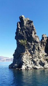
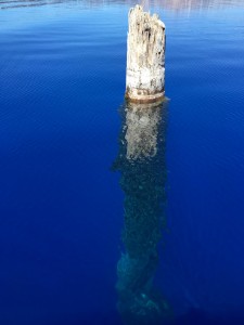
A rock formation called the Phantom Ship sticks out of Crater Lake, while a 50′ dead tree that’s been bobbing in the clear, blue water, floats on by.

Whether a volcano still towers above the surrounding land, or leaves a large crater in the earth’s crust, nothing can stop nature’s power that rises up from below! Stay Tuned!

Great Northwest Passage Trip-Home on the Range

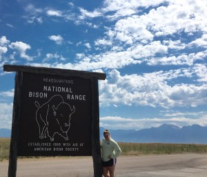
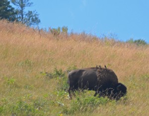
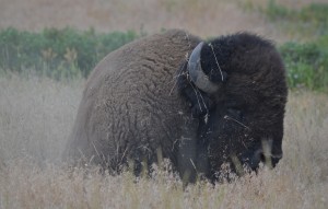
Oh give me a home, where the Buffalo roam, and the deer and the antelope play.” These words to the popular western folk song, Home on the Range, came to life for us on a recent visit to the National Bison Range, in western Montana, where we saw plenty of roaming buffalo (and hanging out, relaxing buffalo) and recreational deer and antelope. All the wildlife (and more) mentioned in the song came out to see us in this 18,800-acre National Wildlife Refuge established by Theodore Roosevelt in 1908. It was the first time that Congress appropriated tax dollars to buy land specifically to conserve wildlife. Currently, the refuge manages between 350-500 Bison. But the Bison share their habitat with many other critters.

20160630_170746727_iOS Bison1

Bison2

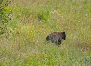
The refuge is a diverse ecosystem of rolling hills and valleys covered with grasslands and forests of Ponderosa Pines and Douglas Firs. Small streams, ponds and the Flathead River can be found in the lowlands. Throughout these lands, Mule deer, White-tailed deer, Elk, Pronghorn, Bighorn Sheep, Black and Grizzly Bear, Mountain Lions, Bobcats, Coyotes, Badgers and over 200 species of birds make this area their home. Many of these animals can be seen from the self-guiding auto tour of Red Sleep Mountain Drive and Prairie Drive. Although it was a bit hot when we visited the refuge in mid-morning, we were excited to see so much wildlife-even more than we observed in some of the larger National Parks we had visited the previous week. In our first 45 minutes, we had good views of Bighorn Sheep, Pronghorn, Mule Deer and Elk, as well as quick looks at a young Black Bear that was searching for berries in and out of a thick, tree-lined stream corridor. But it was the sneaky glimpse of a much smaller mammal on the top of a mountain grassland that got me really excited-a Badger.

BlackBear

                              A young Black Bear searches for berries in the National Bison Range

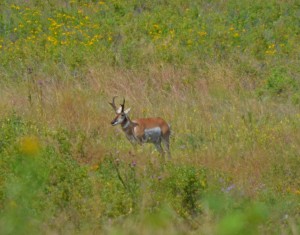
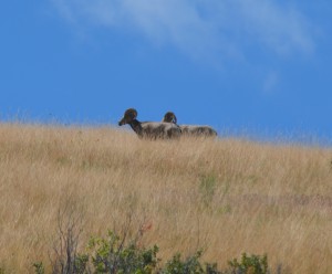
Pronghorn Bighorns

      Pronghorn Antelope and Bighorn Sheep wander through hundreds of acres of grasslands

This grey, burrowing mammal with a black and white striped face has been on my bucket list for many years. I had missed seeing one in several western states in years past. So, when we crested the steep hill and I saw this shy, feisty carnivore waddling through the tall grass, I hit the brakes as the rental vehicle came to a sliding stop on the rough, gravel road. As I yelled to my daughter to grab my camera, the flat, ghostly mammal disappeared into the tall grass-gone. Technically, I saw a Badger, although it was only a fast look at the hairy rear-end of the animal. It’s still in that bucket! We would like to return to the National Bison Range, where all the wildlife made us feel “Home on the Range!

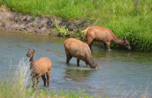
Elk2 WMeadow

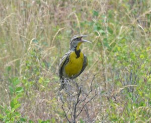
Elk cool off in the Flathead River and a Western Meadowlark sings from a shrub.

Northwest Passage Trip-Days 7, 8 & 9-Going to the Sun

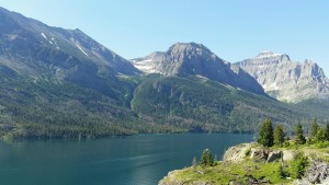
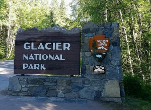
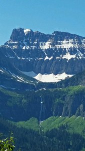
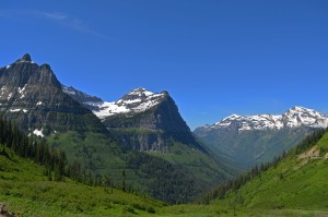
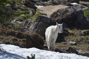
How would you like to take a nice little drive with me? It will only be about 50 miles, but along the way, we’ll see imposing, snow-capped mountains that seem to touch the sky as far as the eye can see. We’ll cross wild-running rivers, and motor past crystal clear, mountain lakes that reflect the surrounding landscapes so clear you would think you’re looking in a mirror. Cautiously, we’ll glide by 800’ rock cliffs that tower above our vehicle on one side, and drop 800’ below our vehicle on the other side! As we continue on our short journey, we’ll traverse the Continental Divide at Logan Pass (6,646’), passing by spectacular views that include cascading waterfalls, and watch Mountain Goats and Bighorn Sheep graze in alpine meadows blooming with brilliant wildflowers. Oh, and glaciers-large, slow-moving masses of ice, snow, rock and sediment that blanket some of the highest peaks and hanging valleys. This is the Going-To-The Sun Road in Glacier National Park, and it’s one of the most beautiful and scenic roadways in America. Want to ride along?

           GLP3 GLP1                         20160628_094925_resized GLP5                               20160629_102005

Glacier National Park in northwestern Montana has been nicknamed the “Crown of the Continent.” Part of the Waterton-Glacier International Peace Park that includes Canada and the U.S., Glacier encompasses over a million acres of mountains, rivers, lakes, glaciers, forests and alpine meadows. Within its boundaries you may encounter Grizzly bears, Timber wolves, Mountain lions, Moose, Mountain Goats, Bighorn Sheep, Golden Eagles, Marmots and Cutthroat Trout. It was established as a National Park in 1910, and the Going-to-the Sun road is an engineering marvel. It’s the only road that crosses the entire park and was designed to blend into the mountainside. They did it so well that sometimes you feel like you’re part of the mountainside! As you can read, there’s lots of natural distractions on this twisting, turning road with narrow lanes and lots of traffic. If you don’t concentrate on the road you’re driving on, it can get very ugly. I quickly learned to take advantage of the many turnouts and pull-offs along this amazing road.

               20160628_085324 20160628_105843

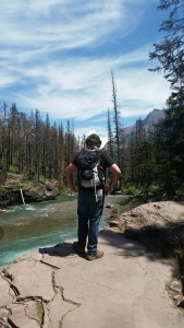
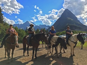
But Glacier is not defined by this one 50-mile road. Glacier is much more, and it challenges you to get out of your car and see what lies beyond the road. Its post card-looking scenery summons you to hike a few of its 700 miles of trails, trek to a remote alpine lake or cascading waterfalls, or simply sit and absorb a setting sun. This is Glacier-wild, spectacular, and stunningly beautiful. We accepted the invite to “explore the back country,” except we decided to try a different approach, by sitting on the back of horses.

20160628_144203 20160628_140139GLP6

GLP4 20160629_114023

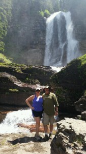
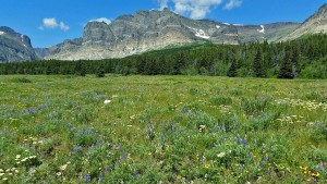
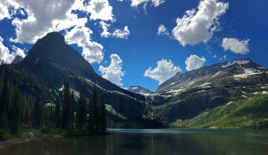
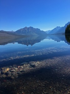
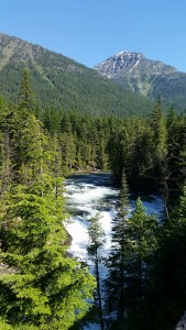
When you venture away from the road in Glacier NP, you’ll find a land full of cascading waterfalls, alpine meadows full of wildflowers and wild rivers and crystal mountain lakes

A Horse Tale

When I booked our horseback riding trip in the Many Glaciers area of the park, they told me it was a leisurely ride for a few miles up an easy trail, ending at a beautiful view of Grinnell Lake and the Grinnell Glacier. They were absolutely true to their word about the panoramic vista of the lake and the glacier-absolutely gorgeous! The leisurely ride for a few miles……well, maybe not so much. Ok, so it’s been 25 years since I’ve been on one of these beasts, and that may have contributed to the “aching discomfort” I experienced in my knees, calves, thighs and of course, my butt. I won’t lie, I was sore all over, for two days after. I know I heard them say on the phone 3 months earlier the ride was about 7 miles, but when we arrived and discussed our route, they stated it was 7 miles one way, about 15 miles round trip. Add the fact that my large, stubborn equine wanted to stop and eat every plant growing along the trail, and the ride quickly turned into a test of stamina between man and beast. By the end of the outing it was Beast 1 – Man 0! Six weeks later, and I still feel a little bow-legged! However, all the pain was worth what we walked out to see at our midway break. It was one of the most dazzling landscapes we had ever seen, and a bonus was a new bird for me, as Tyler spotted an American Dipper walking along the edge of a fast-moving stream. Ahhh Glacier! We’ll be back!

GLP7 GLP2

WCSp20160629_122638-1

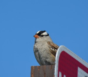
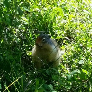
White-crowned Sparrows and Ground squirrels are common species of wildlife in Glacier NP

Northwest Passage Trip-Day 6-Mountain Time

June 26 – 11:30am

After driving east from Olympic National Park for 2.5 hours, and bouncing along a dirt road for the final 25 miles, we were only about 4 miles shy of the trailhead that would be the start of our hike to our destination that day-Mt Rainier. As we drove by 50 other cars, we realized the road was blocked off with a Park Ranger sitting in his truck eating his lunch, and guarding a barricade. Not what we wanted to see. I walked up to ask him about the road ahead, and he paused for a minute after taking a bite of his ham sandwich, wiped the mustard off his mouth, and said, “Nope, the road’s not open yet. Maybe tomorrow or the next day. There’s still a couple feet of snow they’re trying to clear,” and with that, I thanked him and walked back to the car. New plan. We’ll have to drive another 2 hours and enter Mt Rainier National Park from the south.

DSC_0700

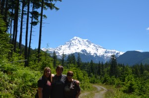
Our first real look at Mt Rainier from the north, Our plans changed when the access road we wanted to use was still not open due to snow.

3:00 pm

Lots of people visiting Mount Rainier today-it’s packed! After several minutes of cruising the crowded Paradise Visitor Center parking lot like a hungry shark looking for its next meal, we finally caught a break when a nice lady from Minnesota “reserved” her space for us as her husband backed their big pick-up truck out. The mountain awaited our arrival.

3:30 pm

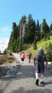
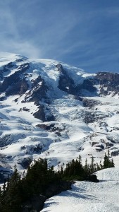
We gathered our souvenirs from the gift shop, and headed outside. The Skyline Trail started directly behind the visitor center-lots and lots of people were trying to squeeze on to the 6’ paved trail that led up to our goal 4.5 miles away, called Panaroma Point, elevation 6,800’. At 14,410’ above sea level, Mount Rainier stands as an icon in the Washington landscape. An active volcano, Mount Rainier is the most glaciated peak in the lower 48 states, and is the headwaters for six major rivers.

3:35 pm

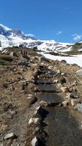
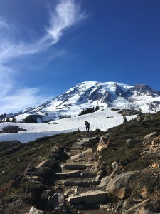
As we begin our hike, I understood why so many people were stopped along the trail only a few hundred yards from the trailhead. It was very steep-about a 20% grade for the first ½ mile. Wow! I know I’m not in great shape, but I was not ready for the immediate rise of this trail. This trail “slaps you in the face” right from the first step. For me, it tested my physical fitness level before my mental fitness level ever knew what was happening! Fifteen minutes into our walk, my calves were burning and I could barely catch my breath. Maybe it was the thin air, or maybe it was just that last handful of Doritos I gobbled down with my turkey sandwich at lunch! But whatever the reason, I knew this “nice little hike” was going to be a real challenge for me. When I was writing this blog, and thinking about photos for it, I asked Darby if she had snapped any pictures showing this steep walk with all the other people. Her response, was “are you kidding, I was too busy trying to breathe!”
             20160626_162623_1470270662125_resized  20160626_170657_resized  20160626_163712_resized

3:55 pm

My enthusiastic pace has slowed considerably. I feel my Bighorn Sheep-like tempo is beginning to resemble a Sloth. Twenty minutes in and my legs feel like lead weights. I did manage to pass several people wearing flip-flops and four baby strollers. Theresa is just ahead of me, but Tyler and Darby are at least ¼-mile out in front.

                   20160626_164900-1_resized IMG_4789

Tyler checks the map in the 1st snowfield to see if we’re even close to the hidden trail, then continues out in front.

4:15 pm

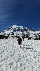
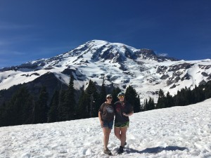
In full view now, Mount Rainier is getting larger and more majestic with each step. After what seemed like 57 stops to catch my breath, and nearly drinking all my water in less than a mile, the marked, paved trail is gone. We were now hiking through a snow field. It’s pretty cool to be hiking through snow, in shorts and t-shirts in June. Most of the crowd decided to turn back when the pavement ended, or they simply couldn’t breathe, whatever the reason, only a few dozen adventurers continue on now.

20160626_235706289_iOS               20160626_173402_resized

4:45 pm

The soft, melting snow makes for some tough walking. It’s similar to trudging through deep, dry sand at the beach, except colder. There’s no trail to follow now, so, like Caribou migrating across the tundra, we follow each other, and the footprints of others who have gone before us. We have to move to the side as several climbers who have successfully reached the summit a few hours before, are now skiing their way back down the mountain as far as the snow stretches.

5:20 pm

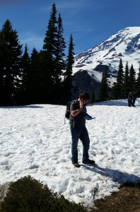
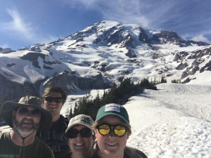
We’ve managed to reach a small viewing area called Avalanche Point. This is as far as we can realistically go without proper snow climbing gear, such as crampons and trekking poles. Panaroma Point is still high above us-about another 1.5 miles hiking through a steep, snow-covered trail. Nope, this is as close to Mt Rainier as we’re going to get today. But, it’s still an awesome vista. As we turn around, looking back down the mountain, we can clearly see Mt St Helens and Mt Hood in the distance.
20160627_003555456_iOS 20160626_171149_resized

                                    A selfie at Avalanche Point, and a look at Mt St Helens in the distance.

5:50 pm

We begin our descent back down the mountain, deviating from our route up. We think we found what is supposed to be the marked trail, as we dance our way down through the soft, melting snow. It’s actually kinda fun as we slip, slide and take a tumble or two. As I try to show-off my slick mountaineering skills, I suddenly lose my footing and come crashing down in a heap. A little embarrassed and with 2 pounds of snow now down my pants, I pick myself up and continue walking, trying to act like nothing happened! I don’t think anyone saw me, except for the six teenagers laughing and all pointing their cell phones at me. We stop for a brief rest and hear whistles echoing from the bare patches of alpine meadow-Marmots. These high elevation rodents communicate to each other through a series of whistles, like someone whistling to their dog.

FullSizeRender (1)

6:30 pm

We finally exit the snow fields and make our way back to the paved trail, eventually reaching the visitor center. It’s been a great hike through the snow to the base of one the largest mountains in the U.S. My knees are aching, I’m hungry and thirsty, but will always remember this “nice little walk” we took one day in late June to see Mt Rainier!

Northwest Passage Trip-Day 4 & 5 – Olympic Gold

We recently visited the Olympics. No, we were not in Rio De Janeiro, Brazil, but discovered another “Olympics” in northwestern Washington State. Our travels brought us to Olympic National Park-a vast wilderness of almost a million acres. It hosts so much natural beauty and diverse ecosystems it was named both a World Heritage Site and International Biosphere Reserve by the United Nations.

DSC_0664

 Olympic National Park is a special place. It’s a place where snow covered mountains with glaciers reach to the sky. A place where lush, temperate rainforests receive more than 150 inches of rain each year, and colossal trees are covered with other plants to form a “jungle-like” setting. Around every corner, wild rivers and cold, clear streams hold salmon, steelhead and trout, and cascading waterfalls waiting to be explored. The park also hosts 70 miles of unspoiled, rugged Pacific coastline with big sea stacks, tide pools and windswept beaches. Looking for critters? Olympic NP has a bunch of them from mountains to ocean, including Roosevelt Elk, Olympic Marmots, Black Bear, Mountain Lions, Black-tailed Deer, River Otters, Seals, Sea Lions, Whales and nearly 300 species of birds.

Otters
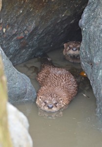
River Otters peak out of the rocky shoreline of Ruby Beach

DSC_0516       DSC_053520160626_014035460_iOS

Elk1
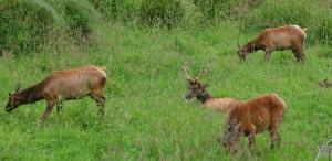
Roosevelt Elk


grayjay
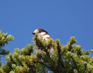
A Gray Jay sits and watches us during our hike in Olympic NP

Perhaps the most unique ecosystems are the temperate rain forests. These forests, made up of large Sitka Spruce, Western Hemlock, Douglas Fir, Bigleaf maple and other species, are covered with mosses, lichens, ferns and spike mosses. Storms coming off the Pacific dump huge amounts of rain on these western slope, low-level valleys. Temperatures rarely drop below freezing in the winter, or higher than the 80’s in the summer. Nowhere else in the lower 48 states can you experience forests like these found in Olympic NP, and it’s called a rain forest for good reason!

                    DSC_0539 20160624_213037018_iOS

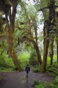
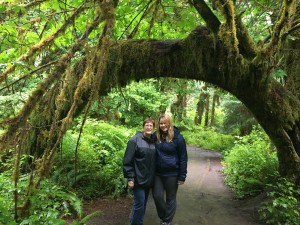
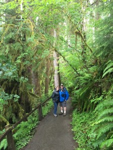
20160624_211557460_iOS                                                          Rambling through the Hoh Rain Forest

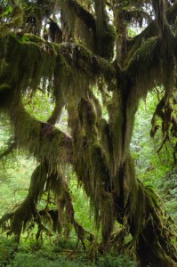
During our 1.7-mile hike, it rained five different times-not continuously, but it would start to rain, then the sun came out, then rain again……As we trekked along the trail, stepping in puddle after puddle, the warm rain rolled down our cheeks as if we just stepped into a shower. Did you ever notice that when you put your hood up on your rain jacket to keep water off your face, it actually works the opposite way. The rain hood acts like a downspout that channels more rain on to your face! After the third rain shower, I had so much water running down my nose and over my chin, I felt like a chunky, walking waterfall! As we strolled along the wet route, it almost felt like I was 9 years old again, romping outside during a summer storm-except the trees were much bigger, and we certainly didn’t have humongous rotten logs laying around with slugs crawling everywhere! These rainforests have been described many times as the “jungles of America.” I get it. As we walked through this abundant, green vegetation, with large moss-covered trees standing above you and vines hanging down near your head, you would almost think that monkeys should be swinging from limb to limb, howling their calls through the canopy! The coolest part of this diverse park is being able to stroll through a rainforest like this in the morning, then by afternoon, be hiking up a trail that takes you 6,000’ up to a snow-covered mountain ridge!

20160626_003233602_iOS
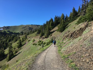
The trail up to Hurricane Hill

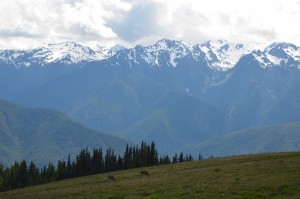
I confess. I had no idea the Olympic Mountain Range of the Cascades were so big! We’ve had the opportunity to hike in the majestic Rockies, visited the massive Sierra Nevadas in California and wandered many times along the ridges of the Appalachians, but the Olympic Mountains are unique in that several 7,000’+ peaks receive over 30’ of snow annually, with the Pacific Ocean only 33 miles away! We were so eager to get out and hike one of these mountain trails, we made a small, but tiring, mistake.

After parking the car in the first parking lot we came to, then walking 2 miles on a supposedly “closed road,” we discovered a parking area right at the trailhead where we wanted to begin our hike. Since it was getting late in the day, Tyler volunteered to walk back to the rental car and drive it up to the trailhead so it would be closer when we were finished. After waiting for almost an hour for Ty to return with the car, we began to get a little worried, and we hadn’t even started our hike yet. For some reason, I reached in my day pack and to my surprise, found the keys to the rental van. Tyler had walked almost 4 miles round trip and I had given him the wrong keys. I had mistakenly given him my personal truck keys, not the rental vehicle keys! He was a real good sport about it and never complained once about my dumb error. Sorry Ty!

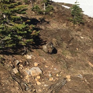
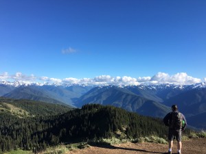
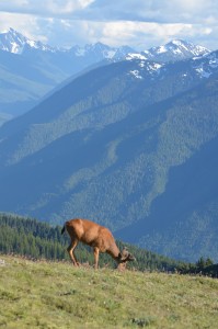
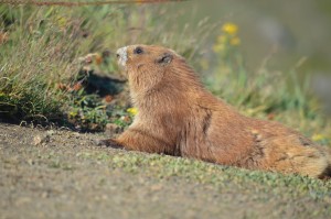
 After finally hitting the trail, we reached the peak of a 2-mile hike to a place called Hurricane Hill. It was one of the most awesome, 360 degree views I’ve ever seen. We gazed out to the east and saw mountains in the distance as far as we could see. When we turned to look over our back shoulder, there was the Strait of Juan De Fuca and the Pacific Ocean stretching to the north and west-eyeing up Canada. It was like looking at a dazzling series of post cards. All four of us simply described what we were looking at, as “Wow!” The bonus at the top was seeing a big, beautiful Black-tailed buck in velvet grazing on the alpine meadow grasses, along with several Olympic Marmots (kinda like our Groundhogs here in PA), which communicate back and forth to each other by chirping out loud whistles.

DSC_0693           DSC_0695

20160626_011652344_iOS
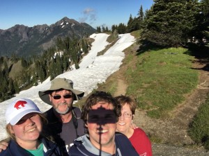
Lone Ranger selfie on top of Hurricane Hill

 The hike was great. The views were fantastic, and discovering Olympic Gold together as a family was a memory we’ll always have! Oh, and Tyler only mentioned his 10-mile hike, (compared to our 5-mile hike) once, after I bought him a cold beer! Cheers!


Northwest Passage Trip-Day 3-Sand, Surf & Stacks

Drive north on Highway 101 through Oregon and Washington, and you’ll discover an unspoiled coastline that is rugged, beautiful and rich in history. This region includes miles of high, drifting sand dunes in southern Oregon, and wild rivers that flow through towering coniferous forests to the rocky shorelines of the Pacific Ocean, as you continue north. It’s a land of untamed beaches where seals and sea lions bask, whales migrate just offshore and large rock formations called sea stacks provide habitat for large colonies of sea birds, while standing guard in the crashing surf.

 Dunes1 DSC_0379

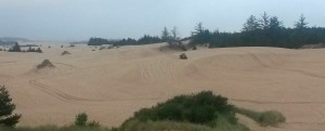
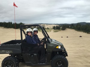
As we entered Oregon from California, we were very surprised to see sand dunes, and big sand dunes they were! Oregon Dunes National Recreation Area is home to the largest coastal sand dunes in North America, at over 40 miles long. Some of the dunes reach 500 feet above sea level. These wind-swept piles of sand are constantly being re-shaped by nature year after year. Since the dunes offer many OHV riding opportunities, we had to give it a go! We rented two, 2-seat dune buggies (side-by-sides), watched the safety video, grabbed our helmets and hit the dunes. Theresa rode shotgun with me and Tyler took the wheel of the other one with Darby. The senior drivers’ pace was a bit slower than the younger ones. After we all rode out to the beach, I dropped Theresa off back at the office and took our buggy out by myself for the last 30 minutes. I was doing fairly well keeping up with my offspring until I got a bit over confident coming down the back side of one of the large dunes. During our orientation, we learned that you can’t always see the sudden drop-offs, called Witch’s Eyes, so you shouldn’t go “screaming down” the back side of a dune until you’ve checked it out first. Oops! Before I could hit the brakes, I found myself flying off a steep sand drift at a rate of speed that was also covered in the video. My landing was not so graceful and I hit with a hard thump and bounced for another 6 feet. I didn’t roll the vehicle, but I came pretty close. My biggest concern was that Tyler and Darby, who were riding close behind me, would do the same-especially with me still sitting there, with my head rattling. They watched the video more closely than their father did, and crested the dune with a little more caution. They drove up to me, asked me if I was ok, and after a brief moment of determining I was still fit to drive, they zoomed off, spinning sand into my buggy! We all agreed-we had a great time running the dunes!

20160623_181827460_iOS dunes

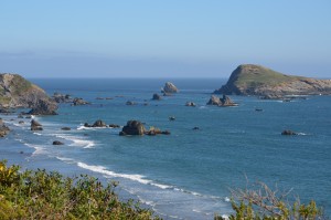
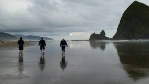
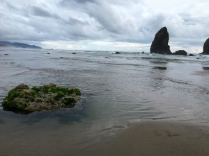
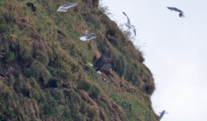
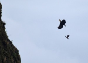
After leaving the sand dunes, we started our trek north. The most noticeable feature along the Oregon and Washington coastlines are the sea stacks. These large rock formations were once part of the coastline, but constant wave action eroded them to the point where they became separated from the mainland. As you round each curve on the highway, these craggy, mini-islands of stone appear in the ocean mist like large sailing ships cruising the coast. Some sit offshore a half-mile or more, but most are within a few hundred yards of the beaches, and if you can find your way down to them, you can usually walk out to many in low tide. Many of these sea stacks were covered with nesting colonies of Tufted Puffins, Common Murres, Pigeon Guillemots, Double-crested, Brandt’s and Pelagic Cormorants and Western Gulls. At one large stack, called the Haystacks, Tyler called us over to show us a Bald Eagle that was aggressively hunting some of the nesting sea birds-alternating between landing near their nests and chasing them through the air. We watched these ‘cat and mouse” games for 15 minutes until finally, we witnessed the eagle successfully grabbing a Common Murre-it was like watching a National Geographic special, live!

DSC_0379 3walkers  DSC_0521            20160624_024022476_iOS

eagle1eagle2

                              A Bald Eagle hunts down a Common Murre on Haystack Rock, in Oregon


20160622_095916_resized         DSC_0498

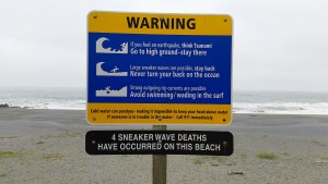
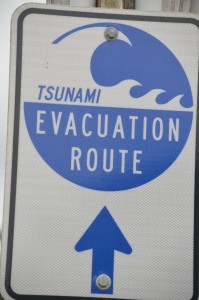
Two signs you don’t see on the East Coast-it took me a few minutes to figure out what sneaker waves were. Once I understood, I put my sneakers back on my feet!

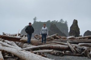
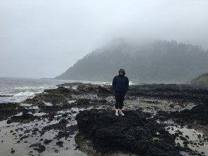
The crashing surf along the Pacific Coastline creates some very cool, natural phenomena in the rocky shorelines, along with many tide pools waiting to explore. We made a point of stopping at a few of these sites for some short hikes out to these rocky beaches. You have to be careful while stepping along on the wet, slippery rock outcroppings that have been carved out by the pounding surf. One slip, and you can go down pretty quick on the jagged rock. But, these were truly full “sensory walks” as we slowly made our way out in the light drizzle and cool mist to gaze at the Pacific Ocean. The combination of seeing these wild, rocky shorelines, smelling the salt air, hearing the sounds of the crashing waves and feeling the moist spray of the ocean on our faces, is something we will not soon forget. These turned out to be some of our most enjoyable walks. In one location, nicknamed Thor’s Well, a large hole has formed in the rocks at the edge of the water. As the waves come crashing in, the sea water disappears into this large, natural well. It’s really fascinating to see, but can be very dangerous if you get too close, since it can literally pull you into the watery crevice, where you can easily drown. Of course we had to venture out to the edge to take a closer look, along with several other people!

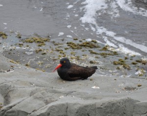
20160623_215018046_iOS BOyster1                                                                 A Black Oystercatcher sits on a rock along the Oregon Coast 

     Click here to see Thor’s Well in action:        20160623_214730000_iOS

DSC_0385
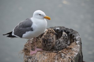
An adult Herring Gull watches over it’s two chicks in Coos Bay, OR

Living on the east coast, we don’t see these types of wild, rocky shores, unless you travel north to the coast of Maine. But even that area doesn’t match the Pacific Coastline, with its lofty sea stacks, coastal wildlife, drifting sand dunes and beautiful forests of tall pines, firs and cedars. It was one of our favorite areas during our vacation, and a region we would like to return to, to explore further!

20160624_035902158_iOS
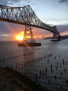
Sunset over the Columbia River, in Astoria, OR

Northwest Passage Trip-Day 1 & 2 – The Tallest of the Tall

At the end of 2015, we made a decision to visit Tyler in Northern California in 2016, and began planning a trip that would take us through the Pacific Northwest…..and beyond. We were excited to visit an area we’ve never been to before, and follow in some of the footsteps of the original Lewis & Clark expedition of 1804-1806. So, after traveling 2 weeks and 4,313 miles (RT from San Francisco),through 5 states, and stops in 15 National Parks, Forests, Recreation Areas, Wildlife Refuges and 8 State Parks, this is the first blog in a summary of our long, but awesome, journey!

The Big Ones

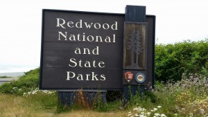
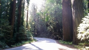
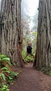
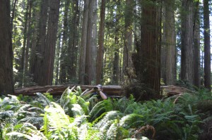
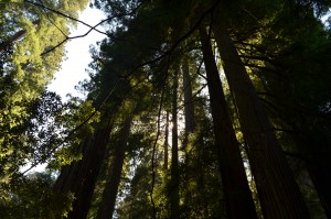
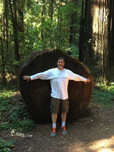
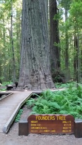
If you visit Northern California, there’s one natural feature that literally stands out-the big trees! Specifically, the tall Coastal Redwoods, the world’s tallest living thing. As we drove north from San Francisco we took a short detour from California’s Scenic Highway 101, to enter the Avenue of the Giants, a 30-mile corridor of huge redwood trees, and our first introduction to these towering giants. Along this drive, and many more to come, you drive right past trees that are wider than your vehicle, and very close to the road! These redwoods are enormous! The trees can exceed heights of 370 feet tall-that’s 60 feet taller than the Statue of Liberty! The State of California, along with the National Park Service, has preserved many of these groves of redwoods in several state parks and Redwoods National Park.

20160622_095819_resized 20160621_180129_resized

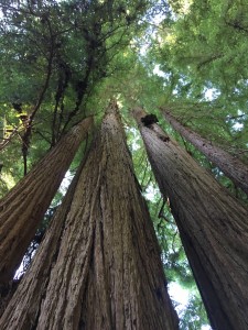
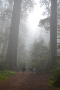
When you walk among these giants you can’t help but to stop and gaze up, tilting your head back to the point where your neck cramps up, trying to see the very top. I was so mesmerized at my first look at these tall trees that when I bent back to try and photograph the top, I stumbled backwards, fell on my butt and disappeared into a stand of ferns! I jumped up quickly to make sure Theresa (wife) and Darby (daughter) didn’t see me! But at the same time, the cool, shadows the canopy creates, along with ferns that grow 4 feet tall on the forest floor, keeps your eyes looking down as much as up. The landscape is almost fantasy-like. As a matter of fact, these redwood forests are so unique that scenes from many familiar movies have been filmed in them. Movies such as The Last of the Mohicans, Star Wars-Return of the Jedi (Ewok forest), The Lost World-Jurassic Park, and ET.

TallStand FoggyWalk 20160622_113413_resized

FernWatcher TallStand2

Looking for birds among the 4′ ferns

                                       20160621_182504_resized        BigCutTree

While we walked through these giant redwood forests, we were constantly amazed how lush these forests were. Tall trees with huge canopies that let in very little light, standing guard over dense beds of huge ferns, some growing almost as tall as us. We also took notice to how quiet these redwood forests were. We heard very few birds while hiking in the redwoods. Maybe we simply visited at the wrong time of the day, or maybe the birds were so high up in the canopy that we just couldn’t hear them singing! OK, maybe my hearing isn’t as acute as it once was, but it was still pretty quiet!

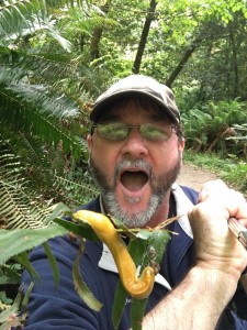
Our wildlife sightings in the dense redwood forests were limited to a few squirrels, a few Oregon Juncos that were down low, an occasional mouse/vole, and my favorite critter, the Banana Slug, which I told Tyler to find one for me. His comeback to my request was classic. “OK, I’ll keep my eyes peeled!”

BanSlug
Meet & Greet of my 1st Banana Slug

Overall, we visited three CA State Parks with outstanding Coastal Redwood groves, and Redwoods National Park, in a day and a half. We all agreed, we were only on day two of our adventure and we were already captivated by what we experienced. I highly recommend that if you have a chance to visit this area, or even San Francisco (4 ½ hrs south), get there! Go walk among the giants! You can’t see these trees anywhere else on Planet Earth.

StreamSelfie
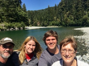
Taking a lunch break selfie along the Smith River in Jedediah Smith Redwoods State Park in CA

Busy as a Beaver

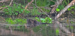
Darby and I took the boat out for short fishing trip to a local lake a couple weeks ago. As we quietly made our way to the far end of the lake, she discovered that we were not alone. Our mysterious “company” was not another boat, or angler, but a large, brown animal that was working on some tree branches at the shoreline. It was noisy as it gnawed the bark and leaves, while pulling the long, birch branch into the water. Maybe this was my Sasquatch I’ve been waiting to see for so many years! But as we drifted closer, it just didn’t seem large enough for a Sasquatch, unless it was laying down in the water, trying to hide! Nope, just another false Bigfoot sighting. The critter we discovered was a Beaver, and a big one at that!

beaver2
A Beaver pulls on some tree branches, as it prepares for supper.

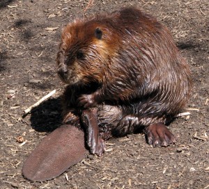
 Beavers are aquatic mammals. They’re the largest rodents in North America, and are classified as furbearers. Adults may grow to 50 pounds are larger. Their fur is thick and they have a large, flat, leathery tail. The tail helps them to swim by propelling them through the water. It also helps balance them as they stand up. As my daughter and I discovered, they also use their tail as a warning, by slapping it loudly on the surface of the water to scare away any potential threats, like us, when we steered our boat too close to where the large critter was swimming. I’ve seen them do this many times in the past, so I warned Darby that the animal would probably do it. As it paddle towards us, I saw it start to arch its back, and I knew what was coming next. “Ker-Whack,” went the large, flat tail on the water surface, as the Beaver dove under. Darby almost dropped her iPhone overboard after being startled by the large rodent. Click below on “Tail Slappin” to  open a link to see/hear our close encounter with a Beaver!
                                                   Tail Slappin!

 Beavers prefer living in slow moving or still waters. Sometimes they have to create these “still waters” themselves, by damming up a small stream or creek. They do this by gnawing down small trees with two, long front teeth, and along with branches, sticks and mud, effectively pack it all together with their front feet. They’re nicknamed nature’s engineers. The new dam backs up the waterway, creating a pond where the animals will build their home, called a lodge. Due to their ability to back up the water, Beavers can completely change the habitat where the pond or wetlands have been formed. The flooded areas upstream of the dam may kill standing trees, and trap sediment that is swept downstream. These dead trees may become homes to cavity nesting birds, and the blocked sediment will grow new types of plants. An entire ecosystem transformed simply because a Beaver built a dam on a small creek.

 Beavers are herbivores. They not only gnaw down trees for their dam-building needs, but also feed on the bark and leaves of the branches after the tree falls. They’re constantly cutting and moving branches to maintain their dam and lodge, and to store food underwater for the long winter. Beavers don’t have many predators, but occasionally may be preyed on by bears, bobcat or coyotes.

beaver

 Before Europeans settled this country, Beavers were plentiful from the Arctic to Mexico. As pioneers arrived and began trapping them for their thick fur to make top hats and other specialty clothing, the prices for the pelts began to increase quickly. The demand for more and more furs spurred westward expansion into a new America. For some of us, we may be living in this country because our forefathers came looking for Beavers! However, because of its popularity, and uncontrolled trapping, the Beaver was wiped-out from PA and many other states by the late 1800s. Today, their population has rebounded, and due to proper wildlife management, Beavers are once again thriving throughout the Keystone State.

beavertree
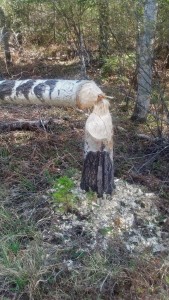
A freshly gnawed-down beaver tree

 We still get excited when we see a Beaver, and can’t help to marvel at its tree-cutting and engineering skills, and most of all, its never-ending work ethic. But, we’ve also learned to keep our distance when that tail starts slapping the water!


Treasured Waters

June is National Rivers Month, including our own Pennsylvania Rivers Month. I love rivers! Who wouldn’t? They’re a critical natural resource, an important part of our history and the life blood of who we are. Since humans inhabited this planet, we have migrated toward the water, especially rivers. Entire civilizations were created near rivers, and many of our world’s largest cities were built along them. Today, these same cities rely on them for drinking water, commerce, energy, food and recreation. Unfortunately, unless you make a living directly from a local river, you may be disconnected to these precious natural waterways. That’s part of the goal of this month long celebration. A time to discover (or re-discover), the significance, value, beauty and just pure fun, the role that rivers play in our daily lives, and just as important, how vital they are in our ecosystem.

                              LehighGapFall     reflect2

Many of us cross rivers every day, to and from work or school, but only glance at them from above. But, in reality, they’re more than just something we drive over-they are life! What affects them, positive or negative, affects us. Their health and wealth, is our health and wealth. Their beauty is our beauty. Their sustainability, is our sustainability! They connect us to our communities and different cultures, they link us to our past and hopefully our future, and of course, rivers connect people to the natural environment.

ChickiesSusqeha
The Susquehanna River at Columbia, PA. The Susquehanna is the largest source of freshwater to the Chesapeake Bay

Pennsylvania is blessed with some of the most beautiful and historic rivers in the U.S., including the Ohio, Allegheny, Susquehanna, Lehigh and Delaware. Although I grew up only a few miles from the North Branch Susquehanna, it was the Delaware River where my family and I spent most of our time-specifically the Upper Delaware, in the very northeast corner of Pennsylvania. This is where our dad grew up, and where he introduced all of us to this very special waterway. In this area, the river is part of the Upper Delaware National & Scenic Recreation Area, managed by the National Park Service. The Upper Delaware is a unique, natural place, where, over millions of years, its waters have carved a course through forested mountains of what is now Pennsylvania and New York.

OLYMPUS DIGITAL CAMERA
The Upper Delaware River

The Delaware’s clear, cool waters seem to call to you, inviting visitors to cast a fishing line for an unsuspecting trout or bass. Its lazy currents and long pools host canoers, kayakers and anything else that floats. We’ve spent many leisurely afternoons gently drifting on our tubes and rafts under the warm summer sun, gazing up at the mountains, while Bald Eagles soar by and White-tailed deer wade into the shallows for a quick drink.  reflect


We laugh, we joke and tell the same goofy stories over and over again of our childhood adventures on the river. When you get hot, you flip out and take a swim. If you get cold, you plop back on your tube and soak in the sun. This alternating pattern of floating and swimming can last for several calming hours. The only thing that can alter this river-relaxing plan may be stretches of shallow water, where one learns to pull up your bottom to avoid taking a direct hit. If carried out correctly, you can master the “bump and spin” technique of charting a course through the many river rocks! On just one 3-hour float trip, the Upper Delaware River can cleanse your mind, body and soul! But we have a river right here in our own backyard that offers the same benefits, with a much more storied past-the Schuylkill River.

The name “Schuylkill” comes from early Dutch settlers and means “hidden river.” It starts (headwaters) in the coal region of Schuylkill County and continues southeast where it meets the Delaware River in Philadelphia, a total distance of about 135 miles. The Schuylkill River watershed drains portions of eleven counties and covers an area of approximately 1,900 square miles. The watershed is home to over 3 million people and serves as a major source of drinking water.

SRiverFall
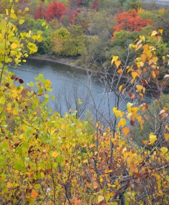
Fall Foliage along the Schuylkill River

For over 200 years, the river and its adjacent valley has been a major transportation corridor. Along with the river, the Schuylkill Canal and the Reading and Pennsylvania Railroads all played important roles in the settlement of SE PA, and the industrial revolution. The river’s journey from Schuylkill County to Philadelphia is marked with some of the most famous pieces of our country’s past. From the anthracite coal regions of the north, to the steel mills dotted along its’ banks. From the rolling hills of Valley Forge National Historical Park where General George Washington and his Continental Army camped during the winter of 1777-1778, to Independence Hall and the Liberty Bell. The course of the Schuylkill River is a living voyage through America’s history, and a key resource to our future.
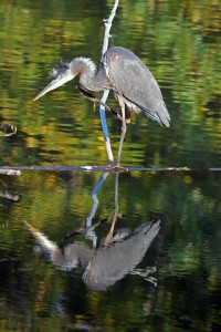
Today, the Schuylkill River serves in many different ways than it did centuries ago. After decades of industrial pollution choked its’ waters, the “Schuylkill” has made a fantastic environmental comeback thanks to new laws, stronger regulations and the efforts of many people who live and work here every day! Now, residents and visitors alike can enjoy its’ meandering currents to fish for bass, canoe or kayak or simply enjoy catching a glimpse of a Great-blue Heron quietly wading in the shallows.
Like thousands of other rivers around the world, the Schuylkill is an important natural resource worth protecting. We have an obligation to conserve these rivers for the heritage of our past, and for future generations. June is Rivers Month in Pennsylvania, and a great time to get out and enjoy our treasured waters!